
- Elevation
- 3,032 m
- above sea level
- Local time
- UTC+09:00
- Asia/Tokyo · UTC+09:00
- Airports
- MMJ Shinshu-Matsumoto Airport55 km
- FSZ Mount Fuji Shizuoka Airport103 km
About Mount Senjō
Mount Senjō is a mountain. Location: Ina Shi, Nagano. Elevation: 3,032 m.
Mount Senjō (仙丈ヶ岳, Senjō-ga-take) is a 3,032.6-metre-high (9,949.5 ft) mountain on the border of Minami-Alps, Yamanashi, and Ina, Nagano, in Japan. This mountain is one of the major peaks of the Akaishi Mountains, and is one of the most popular peaks in the range. This mountain is also one of the 100 Famous Japanese Mountains.
Source: Wikipedia · CC BY-SA 4.0
Climate of Mount Senjō
This month · November
A cold month
Day 0° · Night -10° · Rain 81 mm
Better nearby cities in November
- Kofu · 35 km east17°
- Fujinomiya · 68 km southeast18°
- Fuji · 76 km southeast20°
- Hottest month
- August (day 14°)
- Coldest month
- January (night -19°)
- Wettest month
- August (279 mm)
- Driest month
- December (39 mm)
Bars: average monthly low and high temperature. Below: precipitation. Monthly averages for 1970–2000 at about 18 km resolution, adjusted for elevation. Highlighted months are mild and relatively dry. Source: WorldClim 2.1 (CC BY 4.0).
Show values as a table
| Month | Jan | Feb | Mar | Apr | May | Jun | Jul | Aug | Sep | Oct | Nov | Dec |
|---|---|---|---|---|---|---|---|---|---|---|---|---|
| Average high (°C) | -9° | -9° | -5° | 1° | 7° | 9° | 13° | 14° | 10° | 4° | 0° | -6° |
| Average low (°C) | -19° | -19° | -16° | -9° | -5° | 0° | 4° | 5° | 2° | -5° | -10° | -16° |
| Precipitation (mm) | 41 | 61 | 106 | 147 | 166 | 247 | 243 | 279 | 268 | 153 | 81 | 39 |
How to get to Mount Senjō
The nearest airport is Shinshu-Matsumoto Airport (MMJ), 55 km to the northwest as the crow flies. For international flights: Mount Fuji Shizuoka Airport (FSZ) (103 km). The nearest large city is Kofu, 35 km to the east.
Airports
- Shinshu-Matsumoto Airport (MMJ) Matsumoto 55 kmnorthwest
- Mount Fuji Shizuoka Airport (FSZ) Makinohara / Shimada 103 kmsouth
- Nagoya Airport / JASDF Komaki Air Base (NKM) Nagoya 125 kmsouthwest
Nearby large cities
- Kofu Population: 189.6K 35 kmeast
- Iida Population: 101.5K 40 kmsouthwest
- Matsumoto Population: 241.1K 60 kmnorth
- Fujinomiya Population: 132.5K 68 kmsoutheast
- Fuji Population: 245.4K 76 kmsoutheast
Straight-line distances; road distances are longer. Airport data: OurAirports.
Nearest towns and villages
-
Fujimi Machi Municipality, Suwa-gun21 km N
-
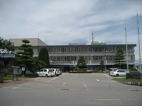 Komagane City, Komagane Shi22 km W
-
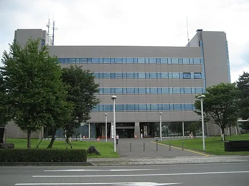 Ina City, Ina Shi24 km NW
-
Nakagawa Mura Municipality, Kamiina-gun21 km SW
-
Ōshika Mura Municipality, Shimoina-gun20 km SW
-
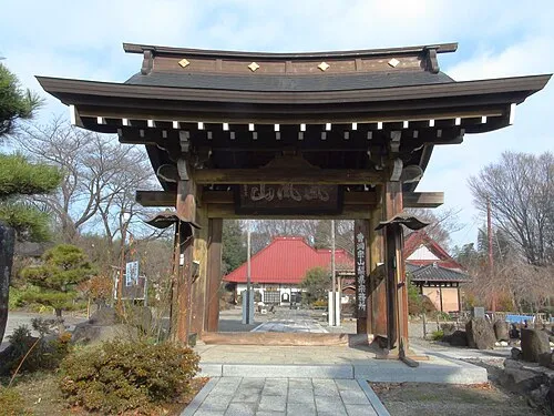 Nirasaki City, Nirasaki Shi24 km E
Nearby attractions & nature
Everything nearby-
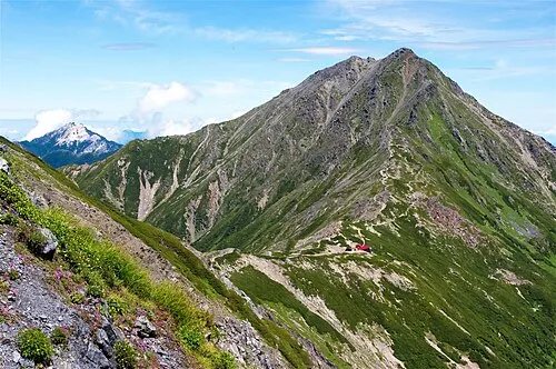 Kita-dake Mountain, Nagano7.1 km SE
-
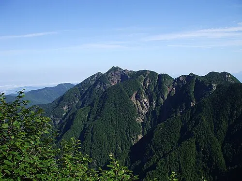 Mount Nokogiri Mountain, Japan7 km N
-
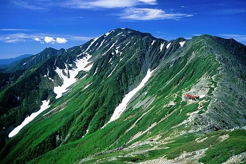 Mount Aino Mountain, Aoi-ku9.2 km SE
-
 Mount Shiomi Mountain, Aoi-ku16 km S
Sources & licences
Data last updated: · 2 independent sources