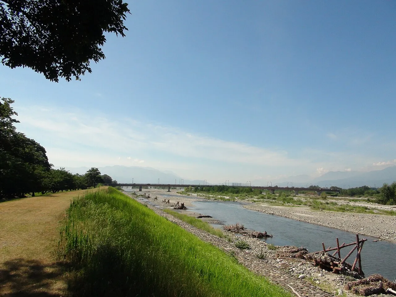
- Population
- 43,180
- 43.2K
- Elevation
- 288 m
- above sea level
- Local time
- UTC+09:00
- Asia/Tokyo · UTC+09:00
- Airports
- MMJ Shinshu-Matsumoto Airport77 km
- FSZ Mount Fuji Shizuoka Airport99 km
About Ryūō
Ryūō is a town. Location: Minami Alps Shi, Yamanashi. Population: 43,180. Elevation: 288 m.
Ryūō (竜王町, Ryūō-machi) was a town located in Nakakoma District, Yamanashi Prefecture, Japan. As of 2003, the town had an estimated population of 40,969 and a density of 3,200.70 persons per km2. The total area was 12.80 km2. On September 1, 2004, Ryūō, along with the town of Futaba (from Kitakoma District) and the town of Shikishima (also from Nakakoma District), was merged to create the city of Kai.
Source: Wikipedia · CC BY-SA 4.0
At a glance
- Built
- 1956
Source: Wikidata
Climate of Ryūō
Best months for sightseeingBest months for sightseeing: May, October.
This month · November
Outside the best season
Day 16° · Night 5° · Rain 63 mm
Better nearby cities in November
- Kofu · 6 km east17°
- Fujinomiya · 49 km south18°
- Fuji · 56 km south20°
- Hottest month
- August (day 30°)
- Coldest month
- January (night -3°)
- Wettest month
- September (187 mm)
- Driest month
- December (32 mm)
Bars: average monthly low and high temperature. Below: precipitation. Monthly averages for 1970–2000 at about 18 km resolution, adjusted for elevation. Highlighted months are mild and relatively dry. Source: WorldClim 2.1 (CC BY 4.0).
Show values as a table
| Month | Jan | Feb | Mar | Apr | May | Jun | Jul | Aug | Sep | Oct | Nov | Dec |
|---|---|---|---|---|---|---|---|---|---|---|---|---|
| Average high (°C) | 9° | 9° | 13° | 19° | 23° | 26° | 29° | 30° | 26° | 21° | 16° | 11° |
| Average low (°C) | -3° | -3° | 1° | 7° | 12° | 16° | 20° | 21° | 17° | 11° | 5° | -1° |
| Precipitation (mm) | 38 | 53 | 89 | 106 | 112 | 178 | 146 | 177 | 187 | 125 | 63 | 32 |
How to get to Ryūō
The nearest airport is Shinshu-Matsumoto Airport (MMJ), 77 km to the northwest as the crow flies. For international flights: Mount Fuji Shizuoka Airport (FSZ) (99 km). The nearest large city is Kofu, 6 km to the east.
Airports
- Shinshu-Matsumoto Airport (MMJ) Matsumoto 77 kmnorthwest
- Mount Fuji Shizuoka Airport (FSZ) Makinohara / Shimada 99 kmsouth
- Tokyo Haneda International Airport (HND) Tokyo 117 kmeast
Nearby large cities
- Kofu Population: 189.6K 6 kmeast
- Fujinomiya Population: 132.5K 49 kmsouth
- Fuji Population: 245.4K 56 kmsouth
- Iida Population: 101.5K 63 kmwest
- Ōme Population: 133.5K 69 kmeast
Straight-line distances; road distances are longer. Airport data: OurAirports.
Day trips from Ryūō
Within 100 km: 7 historic and cultural sites, 59 natural sites, 26 lakes, rivers and coasts.
0–25 km6 places
- Lake Shoji Lake 20 kmSE
- Mount Aino Mountain 25 kmW
- Saiko Lake Lake 24 kmSE
- Lake Motosu Lake 22 kmS
25–60 km32 places
- Honshu Island 60 kmNW
- Mount Senjō Mountain 30 kmW
- Mount Nokogiri Mountain 30 kmNW
- Mount Echizen-dake Mountain 53 kmSE
60–100 km54 places
- Enoshima Island 97 kmSE
- Hatsu-shima Island 91 kmSE
- Chausu-yama Mountain 64 kmW
- Mount Sannosawa Mountain 65 kmW
Straight-line distances.
Nearby attractions & nature
Everything nearby-
Fuefuki River River, Japan11 km S
-
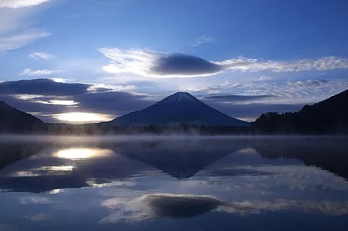 Lake Shoji Lake, Fuji-yoshida Shi20 km SE
-
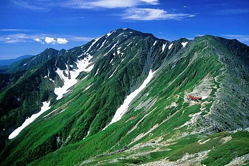 Mount Aino Mountain, Aoi-ku25 km W
-
Saiko Lake Lake, Fuji-yoshida Shi24 km SE
-
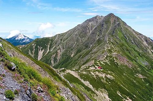 Kita-dake Mountain, Nagano24 km W
-
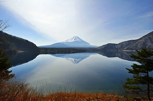 Lake Motosu Lake, Fuji-yoshida Shi22 km S
Sources & licences
Data last updated: · 2 independent sources