
- Elevation
- 3,141 m
- above sea level
- Local time
- UTC+09:00
- Asia/Tokyo · UTC+09:00
- Airports
- FSZ Mount Fuji Shizuoka Airport78 km
- MMJ Shinshu-Matsumoto Airport78 km
About Arakawa-dake
Arakawa-dake is a mountain. Location: Japan. Elevation: 3,141 m.
Mount Warusawa (悪沢岳, Warusawa-dake), also Mount Higashi (東岳, Higashi-dake), is a mountain located in Shizuoka Prefecture, Japan. It has a height of 3,141 metres (10,305 ft). It is located in the southern part of the Akaishi Mountains, which are known as the "Southern Alps" (南アルプス Minami-Alps). It is located in the Minami Alps National Park.
Read more on Wikipedia Text: Wikipedia contributors · CC BY-SA 4.0 · shortened
Climate of Arakawa-dake
Bars: average monthly low and high temperature. Below: precipitation. Monthly averages for 1970–2000 at about 18 km resolution, adjusted for elevation. Highlighted months are mild and relatively dry. Source: WorldClim 2.1 (CC BY 4.0).
Show values as a table
| Month | Jan | Feb | Mar | Apr | May | Jun | Jul | Aug | Sep | Oct | Nov | Dec |
|---|---|---|---|---|---|---|---|---|---|---|---|---|
| Average high (°C) | -9° | -9° | -5° | 1° | 6° | 8° | 12° | 13° | 9° | 4° | -1° | -6° |
| Average low (°C) | -19° | -19° | -16° | -10° | -5° | -1° | 3° | 4° | 1° | -5° | -11° | -16° |
| Precipitation (mm) | 45 | 65 | 116 | 157 | 173 | 254 | 237 | 280 | 274 | 165 | 85 | 42 |
Airports nearest to Arakawa-dake
- Mount Fuji Shizuoka Airport (FSZ) Makinohara / Shimada 78 km
- Shinshu-Matsumoto Airport (MMJ) Matsumoto 78 km
- Nagoya Airport / JASDF Komaki Air Base (NKM) Nagoya 117 km
Straight-line distance; airports with scheduled flights only. Source: OurAirports (public domain).
Nearest towns and villages
-
Ōshika Mura Municipality, Shimoina-gun11 km NW
-
Hayakawa Town Municipality, Minamikoma-gun13 km E
-
Fujikawa Town Municipality, Minamikoma-gun18 km E
-
Hayakawa Village, Hayakawa Town17 km E
-
Toyooka Mura Municipality, Shimoina-gun21 km W
-
Nakagawa Mura Municipality, Kamiina-gun24 km NW
Nearby attractions & nature
Everything nearby-
 Mount Akaishi Mountain, Aoi-ku4 km S
-
Mount Akaishi Mountain, Japan8.6 km S
-
 Mount Shiomi Mountain, Aoi-ku8.8 km N
-
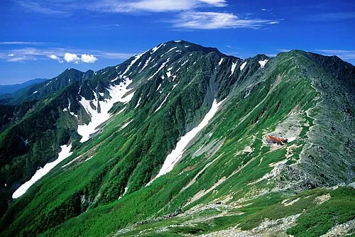 Mount Aino Mountain, Aoi-ku18 km N
-
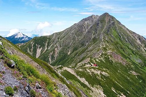 Kita-dake Mountain, Nagano21 km N
-
 Mount Tekari Mountain, Kawanehon Chō20 km SW
More nature in Japan
-
 Mount Senjō Mountain, Ina Shi25 km N
-
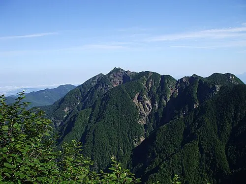 Mount Nokogiri Mountain, Japan32 km N
-
Mount Kenashi Mountain, Fujinomiya Shi34 km E
-
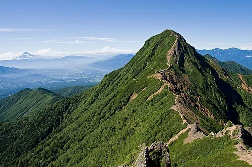 Mount Aka Mountain, Hara Mura55 km N
-
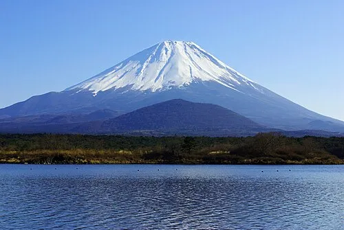 Mount Fuji Mountain, Japan52 km E
-
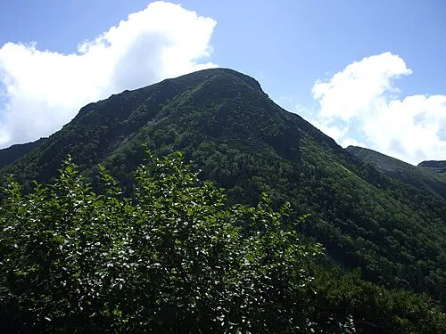 Mount Tengu Mountain, Chino Shi61 km N
Sources & licences
Data last updated: · 2 independent sources