- Population
- 7,338,536
- 7.3M
- Elevation
- 21 m
- above sea level
- Local time
- UTC+09:00
- Asia/Tokyo · UTC+09:00
- Places inside
- 51
- listed under Saitama
- Airports
- HND Tokyo Haneda International Airport36 km
- NRT Narita International Airport68 km
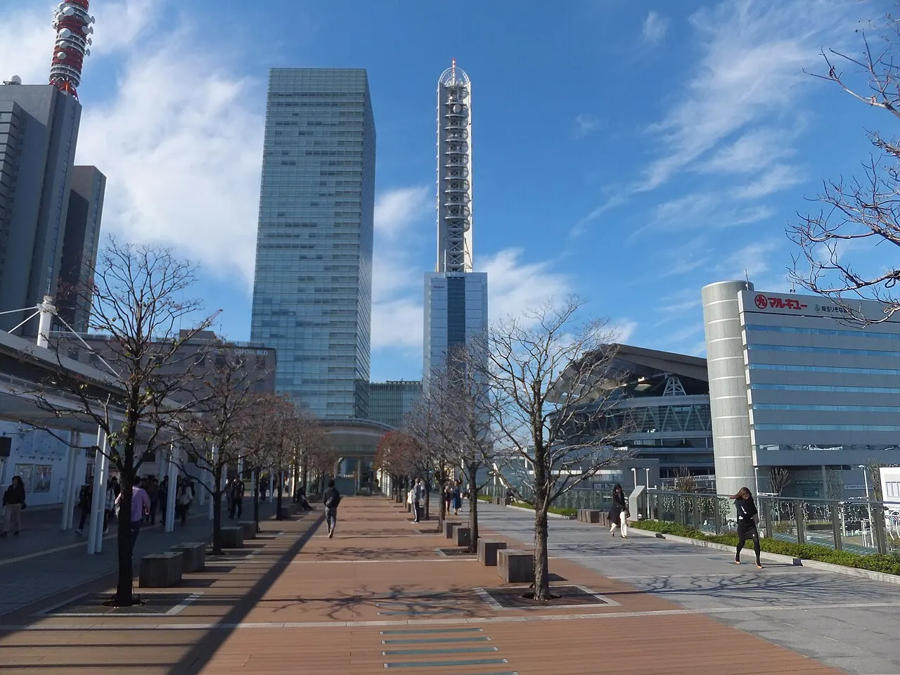
About Saitama
Saitama is a region. Location: Japan. Population: 7,338,536.
Saitama Prefecture (埼玉県, Saitama-ken; Japanese pronunciation: [sä́ì.tä̀.mä̀, sä̀í.tä́.mä́(.kè̞ɴ̀)]) is an inland prefecture of Japan located in the Kantō region of Honshu. Saitama Prefecture has a population of 7,287,447 (september 1, 2026) and has a geographic area of 3,797 km2 (1,466 sq mi).
Read more on Wikipedia Text: Wikipedia contributors · CC BY-SA 4.0 · shortened
Places bordering Saitama
Twin towns and sister cities of Saitama
- State of Mexico· Mexico
- Ohio· United States
- Brandenburg· Germany
Source: Wikidata. Only places with a page on this site are shown.
Population of Saitama over time
| 2005 | 7,054,382 | |
|---|---|---|
| 2010 | 7,194,556 | |
| 2021 | 7,343,100 |
Censuses and official estimates; source: Wikidata.
Climate of Saitama
Best months for sightseeingBest months for sightseeing: May–June, October.
Bars: average monthly low and high temperature. Below: precipitation. Monthly averages for 1970–2000 at about 18 km resolution, adjusted for elevation. Highlighted months are mild and relatively dry. Source: WorldClim 2.1 (CC BY 4.0).
Show values as a table
| Month | Jan | Feb | Mar | Apr | May | Jun | Jul | Aug | Sep | Oct | Nov | Dec |
|---|---|---|---|---|---|---|---|---|---|---|---|---|
| Average high (°C) | 9° | 10° | 13° | 19° | 23° | 25° | 29° | 30° | 26° | 21° | 16° | 12° |
| Average low (°C) | -1° | 0° | 3° | 9° | 13° | 18° | 21° | 23° | 19° | 13° | 7° | 1° |
| Precipitation (mm) | 36 | 52 | 84 | 105 | 126 | 175 | 159 | 169 | 199 | 160 | 73 | 38 |
Airports nearest to Saitama
- Tokyo Haneda International Airport (HND) Tokyo 36 km
- Narita International Airport (NRT) Narita 68 km
- Ibaraki Airport (IBR) Omitama 78 km
Straight-line distance; airports with scheduled flights only. Source: OurAirports (public domain).
Places in Saitama
51 places- 1 Saitama-shi 1.3M
- 2 Kawaguchi 584K
- 3 Kawagoe Shi 348.6K
- 4 Tokorozawa-shi 344.2K
- 5 Koshigaya Shi 331.6K
- 6 Sōka Shi 244.3K
- 7 Kasukabe Shi 239K
- 8 Ageo-shi 228.2K
- 9 Kumagaya 202.2K
- 10 Niiza-shi 162.5K
- 11 Kuki-shi 155.2K
- 12 Sayama 153K
- 13 Iruma-shi 150.2K
- 14 Fukaya-shi 146K
- 15 Hiki-gun 135.9K
- 16 Misato Shi 135.6K
- 17 Asaka-shi 132.4K
- 18 Toda-shi 130.3K
- 19 Konosu-Shi 119.7K
- 20 Kazo-shi 115.8K
- 21 Fujimino-shi 110.1K
- 22 Fujimi-shi 108.5K
- 23 Sakado Shi 101.1K
- 24 Higashimatsuyama Shi 89.3K
- 25 Iruma-gun 86.8K
- 26 Gyōda Shi 85.2K
- 27 Yashio-shi 84.9K
- 28 Hannō 81.3K
- 29 Honjō Shi 79.9K
- 30 Wako-shi 79.4K
- 31 Okegawa-shi 75.3K
- 32 Shiki-shi 73K
- 33 Warabi-shi 72.2K
- 34 Tsurugashima-shi 70.2K
- 35 Kitamoto-shi 68.9K
- 36 Yoshikawa Shi 68.6K
- 37 Chichibu 66.9K
- 38 Hasuda-shi 63.1K
- 39 Hidaka-shi 57.5K
- 40 Hanyū Shi 56.1K
- 41 Kodama-gun 54.9K
- 42 Satte-shi 53.6K
- 43 Shiraoka-shi 52.1K
- 44 Kitaadachi-gun 44.6K
- 45 Osato-gun 34.6K
Bar: population relative to the most populous place in this list.
-
Chichibu-gun District
-
Iruma River River
-
Kitakatsushika-gun District
-
Kōnosu Machi Village
-
Minamisaitama Gun District
-
Shingashi River River
Largest cities and towns
Nature and heritage in Saitama
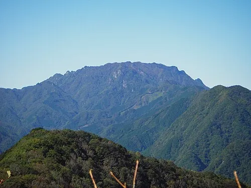
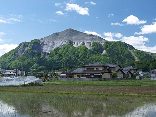

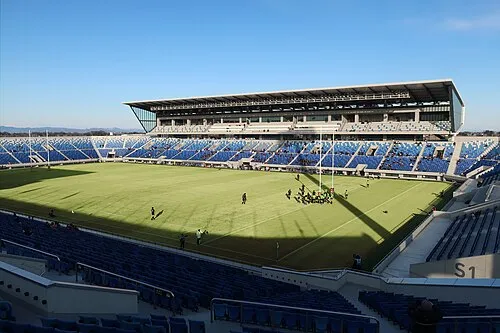
Other regions in Japan
Sources & licences
Data last updated: · 2 independent sources