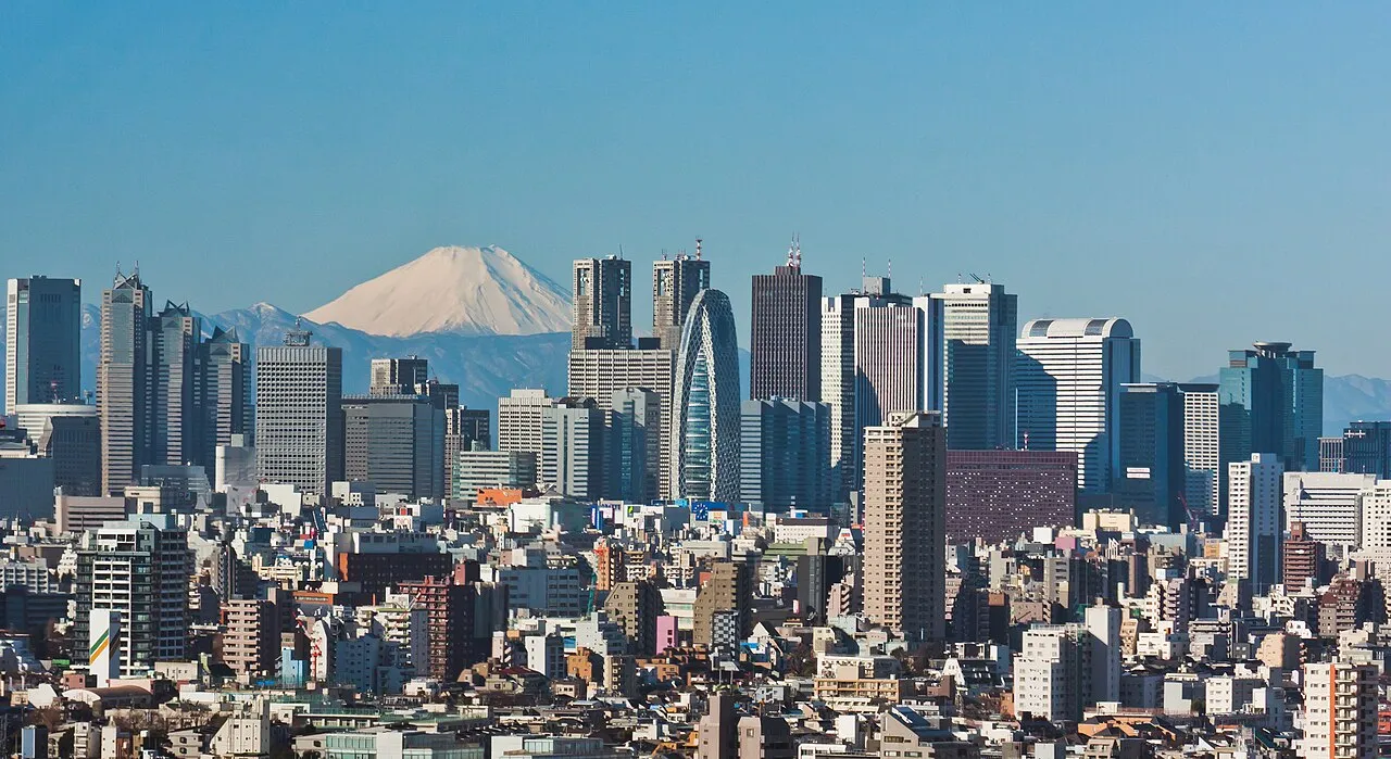
- Population
- 14,187,176
- 14.2M
- Elevation
- 44 m
- above sea level
- Local time
- UTC+09:00
- Asia/Tokyo · UTC+09:00
- Places inside
- 78
- listed under Tokyo
- Airports
- HND Tokyo Haneda International Airport18 km
- NRT Narita International Airport64 km
About Tokyo
Tokyo is a region. Location: Japan. Population: 14,187,176.
Tokyo, officially the Tokyo Metropolis, is the capital and most populous city of Japan. The population of the city proper was over 14 million as of 2023. The Greater Tokyo Area, which includes Tokyo and parts of six neighboring prefectures, is the third-most populous metropolitan area in the world, with 33 million residents as of 2025. Lying at the head of Tokyo Bay, Tokyo is part of the Kantō region, on the central coast of Honshu, Japan's largest island.
Read more on Wikipedia Text: Wikipedia contributors · CC BY-SA 4.0 · shortened
Places bordering Tokyo
Twin towns and sister cities of Tokyo
- Berlin· Germany
- New York· United States
- Paris· France
- London· United Kingdom
- Honolulu· United States
Source: Wikidata. Only places with a page on this site are shown.
Population of Tokyo over time
| 2005 | 12,576,611 | |
|---|---|---|
| 2010 | 13,159,388 | |
| 2015 | 13,513,734 | |
| 2020 | 14,047,594 | |
| 2022 | 14,264,798 |
Censuses and official estimates; source: Wikidata.
Climate of Tokyo
Best months for sightseeingBest months for sightseeing: May–June, October.
Bars: average monthly low and high temperature. Below: precipitation. Monthly averages for 1970–2000 at about 18 km resolution, adjusted for elevation. Highlighted months are mild and relatively dry. Source: WorldClim 2.1 (CC BY 4.0).
Show values as a table
| Month | Jan | Feb | Mar | Apr | May | Jun | Jul | Aug | Sep | Oct | Nov | Dec |
|---|---|---|---|---|---|---|---|---|---|---|---|---|
| Average high (°C) | 9° | 10° | 13° | 19° | 23° | 25° | 29° | 30° | 27° | 21° | 16° | 12° |
| Average low (°C) | 0° | 1° | 4° | 9° | 14° | 18° | 22° | 23° | 20° | 14° | 8° | 3° |
| Precipitation (mm) | 43 | 58 | 101 | 119 | 129 | 174 | 157 | 157 | 202 | 167 | 85 | 40 |
Airports nearest to Tokyo
- Tokyo Haneda International Airport (HND) Tokyo 18 km
- Narita International Airport (NRT) Narita 64 km
- Ibaraki Airport (IBR) Omitama 85 km
Straight-line distance; airports with scheduled flights only. Source: OurAirports (public domain).
Places in Tokyo
78 places- 1 Setagaya-ku 940.5K
- 2 Nerima-ku 744K
- 3 Ōta-ku 737.2K
- 4 Edogawa-ku 697.9K
- 5 Adachi-ku 683.4K
- 6 Suginami-ku 583.6K
- 7 Itabashi-ku 581.3K
- 8 Hachiōji 563.5K
- 9 Koto-ku 523.4K
- 10 Katsushika-ku 451.8K
- 11 Machida Shi 426.2K
- 12 Shinagawa 360K
- 13 Kita-ku 353.1K
- 14 Nakano-ku 341K
- 15 Shinjuku 324.6K
- 16 Toshima 298K
- 17 Meguro-ku 286.9K
- 18 Sumida 270.8K
- 19 Fuchu-shi 253.3K
- 20 Shibuya 243.9K
- 21 Bunkyō-ku 240.1K
- 22 Minato-ku 232.8K
- 23 Chōfu-shi 223.7K
- 24 Arakawa-ku 217.9K
- 25 Taito 212K
- 26 Nishitōkyō-shi 197.5K
- 27 Kodaira 186.3K
- 28 Mitaka-shi 182.9K
- 29 Hino Shi 179.6K
- 30 Tachikawa 178.2K
- 31 Chuo 169.2K
- 32 Higashi-murayama-shi 152.1K
- 33 Tama 147.7K
- 34 Ōme-shi 137.8K
- 35 Musashino-shi 137.5K
- 36 Kokubunji 118.7K
- 37 Koganei 117K
- 38 Higashikurume 116.4K
- 39 Akishima 112.9K
- 40 Inagi-shi 86.2K
- 41 Higashiyamato Shi 85.3K
- 42 Akiruno Shi 81.9K
- 43 Komae-shi 77.9K
- 44 Kunitachi 74.4K
- 45 Kiyose-shi 74.2K
- 46 Musashi-murayama Shi 72.2K
- 47 Chiyoda-ku 66.7K
- 48 Fussa 58.8K
- 49 Hamura-shi 56.8K
- 50 Izu Islands 25K
- 51 Hachijō Shichō 7.2K
- 52 Ogasawara-shichō 2.9K
- 53 Miyake-shichō 2.6K
- 54 Iwo Jima 1K
- 55 Volcano Islands 380
- 56 To Shima 304
- 57 Aoga Shima 170
Bar: population relative to the most populous place in this list.
-
Nishino Shima Island
-
Ponafidin Island Island
-
San Alexander Island
Largest cities and towns
-
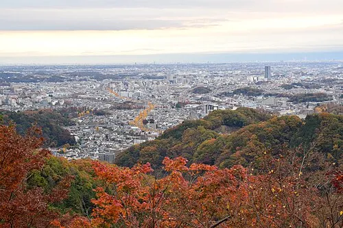 Hachiōji City, Hachiōji579.4K
-
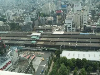 Nakano City City, Nakano-ku344.9K
-
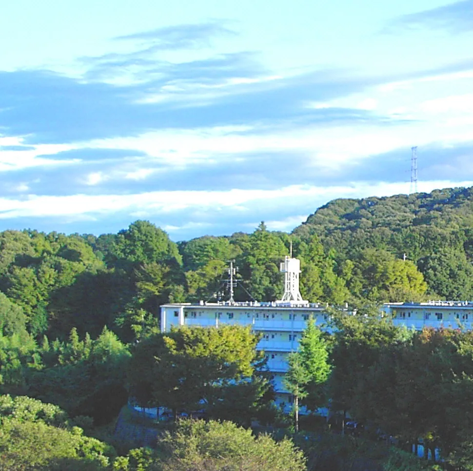 Machida City, Machida Shi431.1K
-
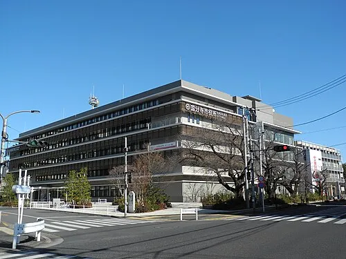 Kokubunji City, Kokubunji129.2K
-
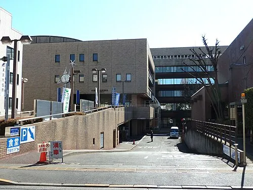 Nishi-Tokyo-shi City, Nishitōkyō-shi207.4K
-
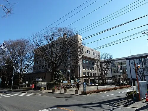 Higashimurayama City, Higashi-murayama-shi151.8K
-
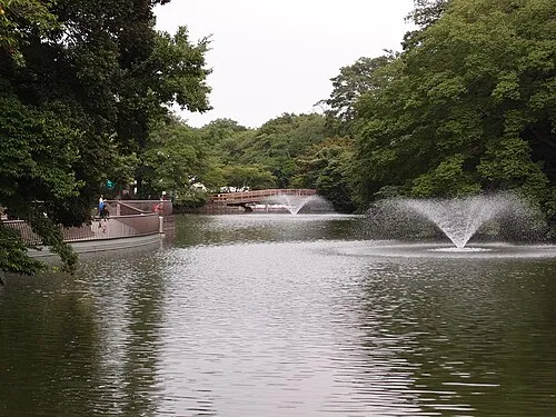 Musashino City, Musashino-shi150.1K
-
Shinjuku Neighbourhood, Shinjuku349.4K
Nature and heritage in Tokyo
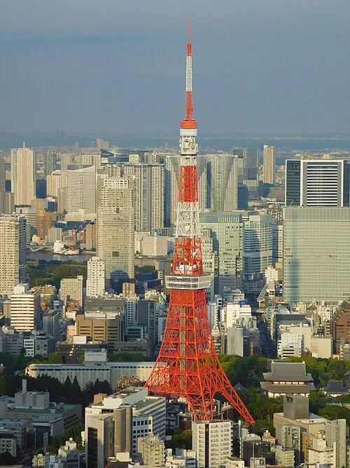
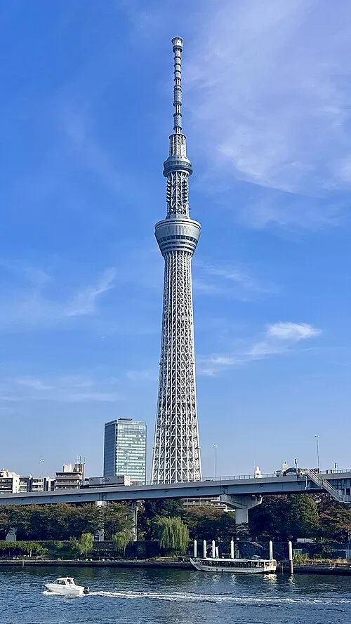
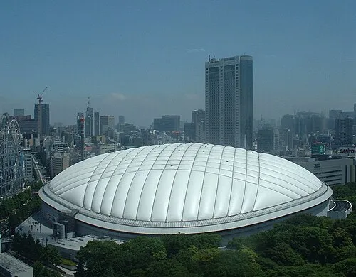
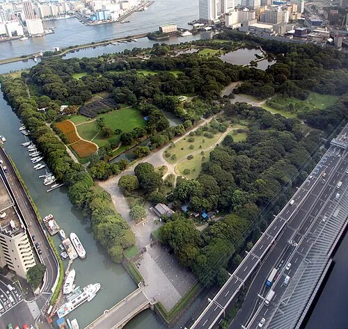
Sources & licences
Data last updated: · 2 independent sources