Nishi-Tokyo-shi
Local name: 西東京市
Located in Nishitōkyō-shi, Tokyo Coordinates: 35°43′31″ N 139°32′18″ E
- Population
- 207,388
- 207.4K
- Elevation
- 58 m
- above sea level
- Local time
- UTC+09:00
- Asia/Tokyo · UTC+09:00
- Airports
- HND Tokyo Haneda International Airport30 km
- NRT Narita International Airport77 km
About Nishi-Tokyo-shi
Nishi-Tokyo-shi is a city. Location: Nishitōkyō-shi, Tokyo. Population: 207,388. Elevation: 58 m.
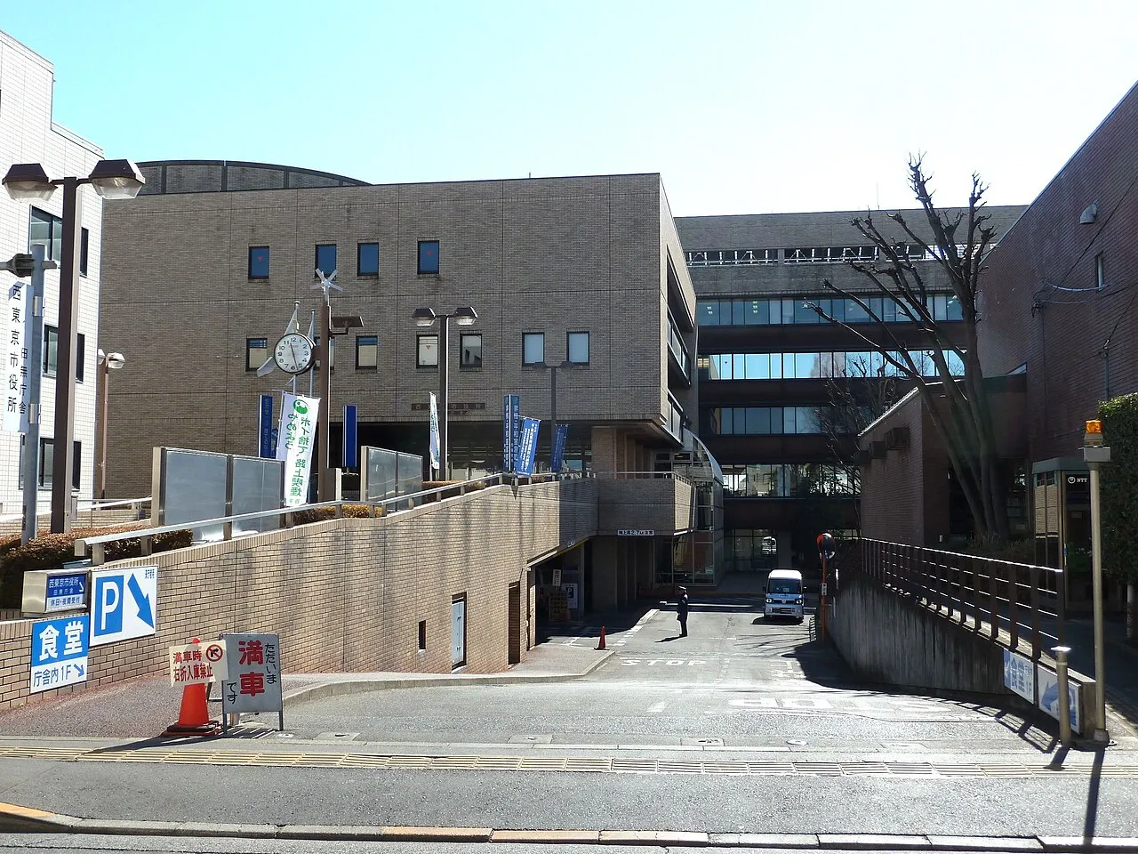
Nishitokyo (西東京市, Nishitōkyō-shi; "City of West Tokyo") (Japanese pronunciation: [ɲiɕi̥toꜜːkʲoː]) is a city located in the western portion of Tokyo Metropolis, Japan. As of 1 January 2021, the city had an estimated population of 206,047, and a population density of 13,000 persons per km2. The total area of the city is 15.75 square kilometres (6.08 sq mi).
Source: Wikipedia · CC BY-SA 4.0
Photos of Nishi-Tokyo-shi
-

Mikagekawase · CC BY 4.0 -

Mikagekawase · CC BY 4.0 -

Douglas P. Perkins · CC BY 3.0 -

Douglas P. Perkins · CC BY 3.0 -
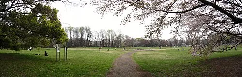
Koganei park Itasan · CC BY 3.0


Travel notes for Nishi-Tokyo-shi
From Wikivoyage
Nishitokyo (西東京市 Nishitōkyō-shi) is a city in western Tokyo.
Understand+
Nishitokyo is located in western Tokyo, about 30 minutes by train from Shinjuku. Like much of western Tokyo, it's largely residential, with businesses concentrated around the train stations. The area has a lot of small parks and trees, in contrast with central Tokyo, which has skyscrapers and a lot more concrete.
Get in+
The only train line running through the city is the Seibu Shinjuku Line (西武新宿線), which ends in Shinjuku to the east and Hon-Kawagoe to the west.
Source: Wikivoyage · CC BY-SA 4.0 · abridged
Places bordering Nishi-Tokyo-shi
- Nerima-ku
- Higashikurume
- Kodaira
- Koganei
- Musashino
- Niiza
Twin towns and sister cities of Nishi-Tokyo-shi
- Shimogō Machi· Japan
Source: Wikidata. Only places with a page on this site are shown.
Population of Nishi-Tokyo-shi over time
| 2010 | 196,511 | |
|---|---|---|
| 2015 | 200,012 | |
| 2021 | 207,436 |
Censuses and official estimates; source: Wikidata.
Climate of Nishi-Tokyo-shi
Best months for sightseeingBest months for sightseeing: May–June, October.
This month · November
Outside the best season
Day 16° · Night 7° · Rain 80 mm
Better nearby cities in November
- Isehara · 42 km southwest18°
- Odawara · 62 km southwest19°
- Kofu · 88 km west17°
- Hottest month
- August (day 30°)
- Coldest month
- January (night -1°)
- Wettest month
- September (205 mm)
- Driest month
- January (41 mm)
Bars: average monthly low and high temperature. Below: precipitation. Monthly averages for 1970–2000 at about 18 km resolution, adjusted for elevation. Highlighted months are mild and relatively dry. Source: WorldClim 2.1 (CC BY 4.0).
Show values as a table
| Month | Jan | Feb | Mar | Apr | May | Jun | Jul | Aug | Sep | Oct | Nov | Dec |
|---|---|---|---|---|---|---|---|---|---|---|---|---|
| Average high (°C) | 9° | 10° | 13° | 19° | 23° | 25° | 29° | 30° | 26° | 21° | 16° | 12° |
| Average low (°C) | -1° | 0° | 3° | 9° | 14° | 18° | 21° | 23° | 19° | 13° | 7° | 2° |
| Precipitation (mm) | 41 | 56 | 94 | 114 | 136 | 185 | 162 | 176 | 205 | 171 | 80 | 41 |
How to get to Nishi-Tokyo-shi
The nearest airport is Tokyo Haneda International Airport (HND), 30 km to the southeast as the crow flies. The nearest large city is Musashino, 3 km to the southeast.
Airports
- Tokyo Haneda International Airport (HND) Tokyo 30 kmsoutheast
- Narita International Airport (NRT) Narita 77 kmeast
- Ibaraki Airport (IBR) Omitama 94 kmnortheast
Nearby large cities
- Musashino Population: 150.1K 3 kmsoutheast
- Koganei Population: 126.1K 4 kmsouthwest
- Higashikurume Population: 117K 4 kmnorthwest
- Kodaira Population: 198.7K 5 kmwest
- Kokubunji Population: 129.2K 6 kmsouthwest
Straight-line distances; road distances are longer. Airport data: OurAirports.
Day trips from Nishi-Tokyo-shi
Within 100 km: 51 historic and cultural sites, 45 natural sites, 47 lakes, rivers and coasts.
0–25 km41 places
- Saitama Super Arena Landmark 21 kmNE
- Iruma River River 21 kmN
- Ueno Dōbutsuen Attraction 21 kmE
- National Museum of Modern Art Museum 20 kmE
25–60 km58 places
- Enoshima Island 47 kmS
- Mount Bukō Mountain 47 kmNW
- Mount Ōyama Natural site 48 kmS
- Obitsu River River 48 kmSE
60–100 km44 places
- Jōga Shima Island 66 kmS
- Hatsu-shima Island 83 kmSW
- Umeda Ko Lake 84 kmN
- Nagatsuro Saki Lighthouse Landmark 66 kmS
Straight-line distances.
Nishi-Tokyo-shi and similar cities
Side by side with cities of similar size in the same country: population, elevation and climate.
| Measure | Nishi-Tokyo-shi | Kishiwada | Matsue | Isesaki |
|---|---|---|---|---|
| Population | 207.4K | 205.6K | 203.6K | 211.8K |
| Elevation | 58 m | 8 m | 8 m | 62 m |
| Summer day (hottest month) | 30° | 32° | 31° | 31° |
| Winter night (coldest month) | -1° | 2° | 1° | -2° |
| Annual rainfall | 1,461 mm | 1,464 mm | 1,570 mm | 1,256 mm |
| Best months | May–Jun, Oct | May, Oct | May–Jun, Oct | Apr–May, Oct |
| Distance | — | 405 km | 588 km | 72 km |
Climate values are 1970–2000 monthly averages; straight-line distance.
Nearby attractions & nature
Everything nearby-
Koganei park Natural site, Koganei2 km SW
-
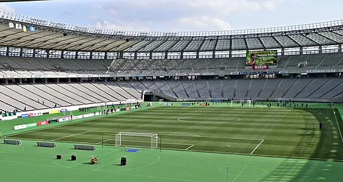 Ajinomoto Stadium Landmark, Chōfu-shi6.8 km S
-
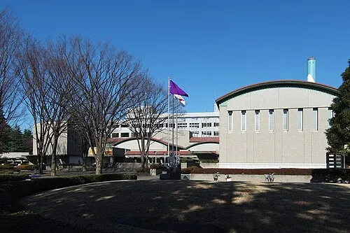 Setagaya Art Museum Museum, Setagaya-ku13 km SE
-
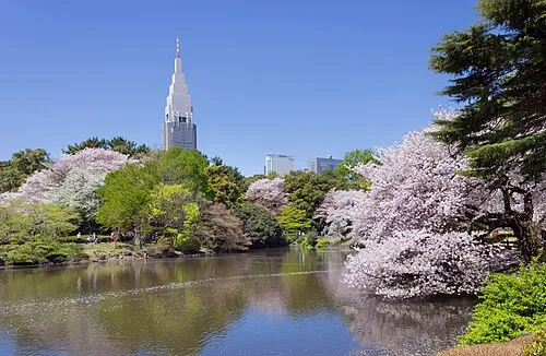 Shinjuku Gyōen Attraction, Shinjuku16 km E
-
 Kinuta Park Natural site, Setagaya-ku13 km SE
-
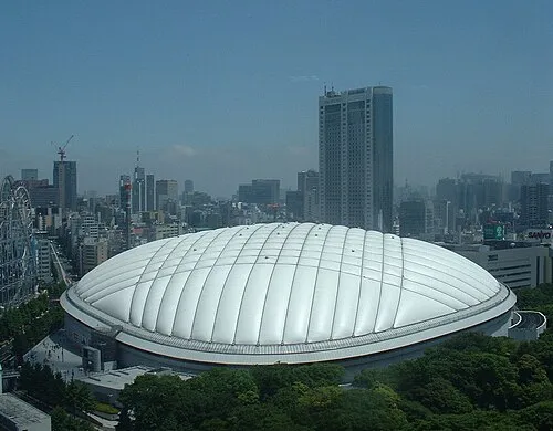 Tokyo Dome Landmark, Bunkyō-ku19 km E
-
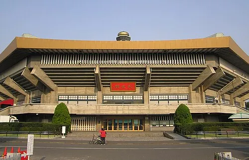 Nippon Budōkan Landmark, Chiyoda-ku19 km E
-
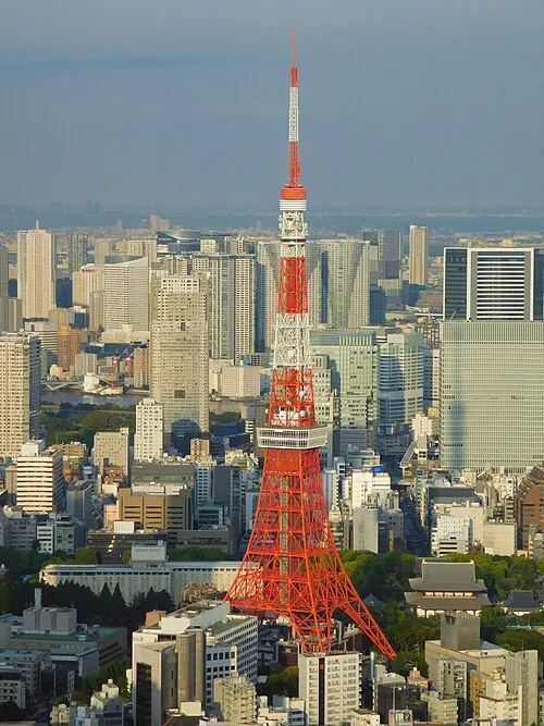 Tokyo Tower Landmark, Minato-ku20 km E
Sources & licences
Data last updated: · 2 independent sources