Tokyo Tower
Local name: 東京タワー
Located in Minato-ku, Tokyo Coordinates: 35°39′31″ N 139°44′43″ E
- Local time
- UTC+09:00
- Asia/Tokyo · UTC+09:00
- Elevation
- 36 m
- above sea level
- Airports
- HND Tokyo Haneda International Airport13 km
- NRT Narita International Airport59 km
About Tokyo Tower
Tokyo Tower is a landmark. Location: Minato-ku, Tokyo.
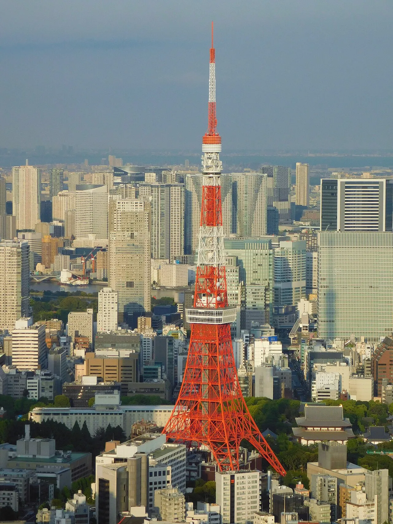
Tokyo Tower (東京タワー, Tōkyō Tawā; pronounced [toːkʲoː taꜜɰᵝaː] ), also known by its official name Japan Radio Tower (日本電波塔, Nippon denpatō) is a communications and observation tower in the district of Shiba-koen in Minato, Tokyo, Japan, completed in 1958. At 332.9 meters (1,092 feet), it was the tallest tower in Japan until the construction of Tokyo Skytree in 2012. It is a lattice tower inspired by the Eiffel Tower, and is painted white and international orange to comply with air safety regulations.
Source: Wikipedia · CC BY-SA 4.0
At a glance
- Built
- 1957
- Opened
- 1958
- Architect
- Tachū Naitō
- Heritage designation
- Registered Tangible Cultural Property of Japan
- Height
- 333 m
- Official website
- en.tokyotower.co.jp
Source: Wikidata
Climate of Tokyo Tower
Best months for sightseeingBest months for sightseeing: May–June, September–October.
This month · November
Outside the best season
Day 17° · Night 9° · Rain 95 mm
Better nearby cities in November
- Isehara · 49 km southwest18°
- Odawara · 69 km southwest19°
- Mishima · 96 km southwest18°
- Hottest month
- August (day 30°)
- Coldest month
- January (night 1°)
- Wettest month
- September (206 mm)
- Driest month
- December (44 mm)
Bars: average monthly low and high temperature. Below: precipitation. Monthly averages for 1970–2000 at about 18 km resolution, adjusted for elevation. Highlighted months are mild and relatively dry. Source: WorldClim 2.1 (CC BY 4.0).
Show values as a table
| Month | Jan | Feb | Mar | Apr | May | Jun | Jul | Aug | Sep | Oct | Nov | Dec |
|---|---|---|---|---|---|---|---|---|---|---|---|---|
| Average high (°C) | 10° | 10° | 13° | 18° | 23° | 25° | 28° | 30° | 26° | 21° | 17° | 12° |
| Average low (°C) | 1° | 2° | 5° | 10° | 14° | 18° | 22° | 23° | 20° | 14° | 9° | 4° |
| Precipitation (mm) | 49 | 63 | 113 | 129 | 137 | 184 | 156 | 157 | 206 | 179 | 95 | 44 |
Other places to visit in this season: May June September October
How to get to Tokyo Tower
The nearest airport is Tokyo Haneda International Airport (HND), 13 km to the south as the crow flies. The nearest large city is Minato, 1 km to the east.
Airports
- Tokyo Haneda International Airport (HND) Tokyo 13 kmsouth
- Narita International Airport (NRT) Narita 59 kmeast
- Ibaraki Airport (IBR) Omitama 84 kmnortheast
Nearby large cities
- Minato Population: 260.5K 1 kmeast
- Chuo Population: 169.2K 3 kmnortheast
- Nakano City Population: 344.9K 9 kmnorthwest
- Kita-ku Population: 332.1K 10 kmnorth
- Ōta-ku Population: 748.1K 11 kmsouth
Straight-line distances; road distances are longer. Airport data: OurAirports.
Nearby attractions & nature
Everything nearby-
 Zōjō Ji Attraction, Minato-ku0.3 km SE
-
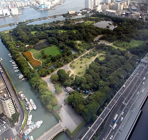 Hamarikyu Gardens Attraction, Chuo1.6 km E
-
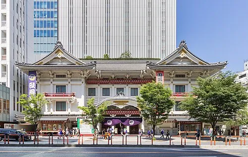 Kabuki-za 歌舞伎座 Attraction, Chuo2.4 km NE
-
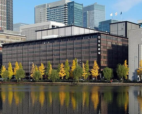 Teikoku Gekijō Attraction, Chiyoda-ku2.4 km NE
-
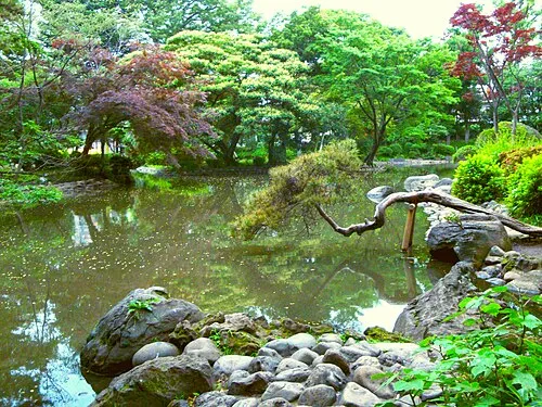 Arisugawa-no-miya Memorial Park Natural site, Minato-ku1.9 km W
-
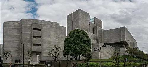 Saikō Saibansho Attraction, Chiyoda-ku2.4 km N
-
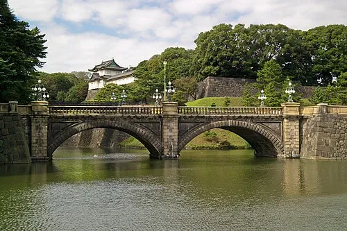 Tokyo Imperial Palace Historic site, Chiyoda-ku3.1 km N
-
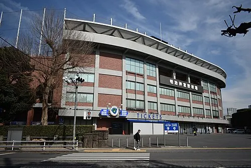 Meiji Jingu Stadium Landmark, Shinjuku3.1 km NW
Nearest towns and villages
-
Minato City, Minato-ku0.6 km E
-
Roppongi Neighbourhood, Minato-ku1.3 km NW
-
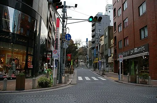 Azabu-jūban Town, Minato-ku1 km W
-
Akasaka Neighbourhood, Minato-ku1.7 km NW
Sources & licences
Data last updated: · 2 independent sources