Tokyo Imperial Palace
Local name: 皇居
Located in Chiyoda-ku, Tokyo Coordinates: 35°41′07″ N 139°45′12″ E
- Local time
- UTC+09:00
- Asia/Tokyo · UTC+09:00
- Elevation
- 19 m
- above sea level
- Airports
- HND Tokyo Haneda International Airport15 km
- NRT Narita International Airport58 km
About Tokyo Imperial Palace
Tokyo Imperial Palace is a historic site. Location: Chiyoda-ku, Tokyo.
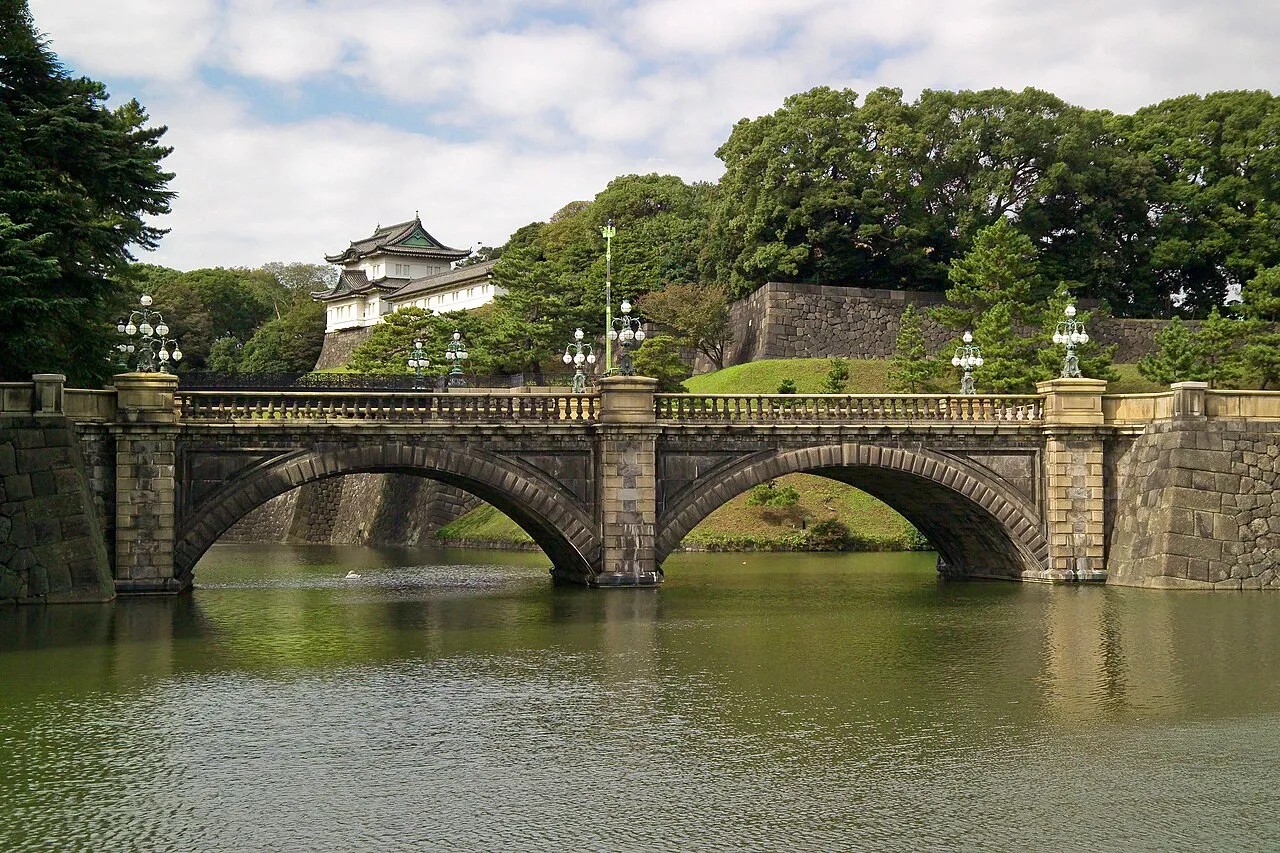
The Imperial Palace (皇居, Kōkyo; lit. 'Imperial Residence') is the main residence of the emperor of Japan. It is a large park-like area located in the Chiyoda district of the Chiyoda ward of Tokyo and contains several buildings, including the Fukiage Palace (吹上御所, Fukiage gosho), where the emperor has his living quarters; the main palace (宮殿, Kyūden), where various ceremonies and receptions take place; some residences of the Imperial Family; an archive; and museums and administrative offices.
Source: Wikipedia · CC BY-SA 4.0
Photos of Tokyo Imperial Palace
-

LizardJedi · CC BY-SA 2.0 -

SeptmberSamurai · CC BY 2.0 -

Stefano Vigorelli · CC BY-SA 4.0 -
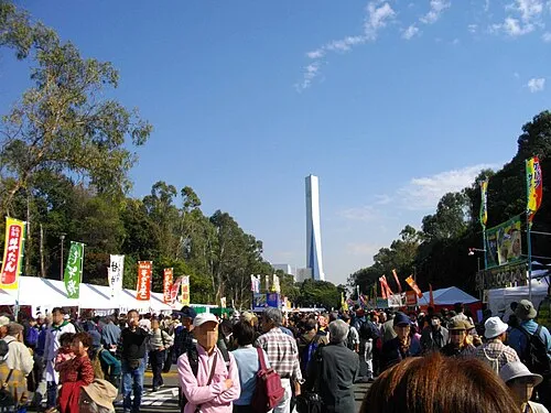
Yumenoshima Park 保守 · Public domain -
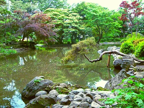
Arisugawa-no-miya Memorial Park Irina Gelbukh · CC BY-SA 3.0


Climate of Tokyo Imperial Palace
Best months for sightseeingBest months for sightseeing: May–June, October.
This month · November
Outside the best season
Day 17° · Night 8° · Rain 85 mm
Better nearby cities in November
- Isehara · 51 km southwest18°
- Odawara · 72 km southwest19°
- Mishima · 99 km southwest18°
- Hottest month
- August (day 31°)
- Coldest month
- January (night 1°)
- Wettest month
- September (202 mm)
- Driest month
- December (40 mm)
Bars: average monthly low and high temperature. Below: precipitation. Monthly averages for 1970–2000 at about 18 km resolution, adjusted for elevation. Highlighted months are mild and relatively dry. Source: WorldClim 2.1 (CC BY 4.0).
Show values as a table
| Month | Jan | Feb | Mar | Apr | May | Jun | Jul | Aug | Sep | Oct | Nov | Dec |
|---|---|---|---|---|---|---|---|---|---|---|---|---|
| Average high (°C) | 10° | 10° | 13° | 19° | 23° | 25° | 29° | 31° | 27° | 22° | 17° | 12° |
| Average low (°C) | 1° | 1° | 4° | 10° | 14° | 18° | 22° | 23° | 20° | 14° | 8° | 3° |
| Precipitation (mm) | 43 | 58 | 101 | 119 | 129 | 174 | 157 | 157 | 202 | 167 | 85 | 40 |
How to get to Tokyo Imperial Palace
The nearest airport is Tokyo Haneda International Airport (HND), 15 km to the south as the crow flies. The nearest large city is Chuo, 3 km to the southeast.
Airports
- Tokyo Haneda International Airport (HND) Tokyo 15 kmsouth
- Narita International Airport (NRT) Narita 58 kmeast
- Ibaraki Airport (IBR) Omitama 81 kmnortheast
Nearby large cities
- Chuo Population: 169.2K 3 kmsoutheast
- Minato Population: 260.5K 3 kmsouth
- Kita-ku Population: 332.1K 8 kmnorth
- Nakano City Population: 344.9K 8 kmwest
- Katsushika-ku Population: 453.1K 10 kmnortheast
Straight-line distances; road distances are longer. Airport data: OurAirports.
Day trips from Tokyo Imperial Palace
Within 100 km: 49 historic and cultural sites, 38 natural sites, 43 lakes, rivers and coasts.
0–25 km48 places
- Ueno Dōbutsuen Attraction 4 kmNE
- National Museum of Modern Art Museum 1 kmN
- Arisugawa-no-miya Memorial Park Natural site 4 kmSW
- Saikō Saibansho Attraction 1 kmSW
25–60 km47 places
- Enoshima Island 49 kmSW
- Ai River River 54 kmS
- Nokogiri Yama Mountain 59 kmS
- Saitama Super Arena Landmark 26 kmNW
60–100 km35 places
- Jōga Shima Island 62 kmS
- Hatsu-shima Island 89 kmSW
- Mount Atago Mountain 67 kmS
- Karasuba Yama Mountain 71 kmS
Straight-line distances.
Nearby attractions & nature
Everything nearby-
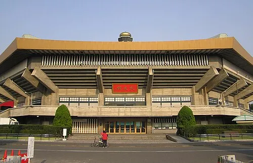 Nippon Budōkan Landmark, Chiyoda-ku1 km N
-
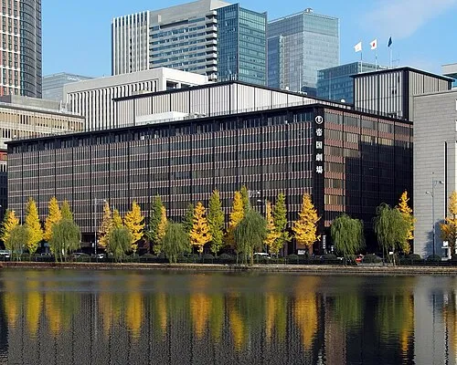 Teikoku Gekijō Attraction, Chiyoda-ku1.2 km SE
-
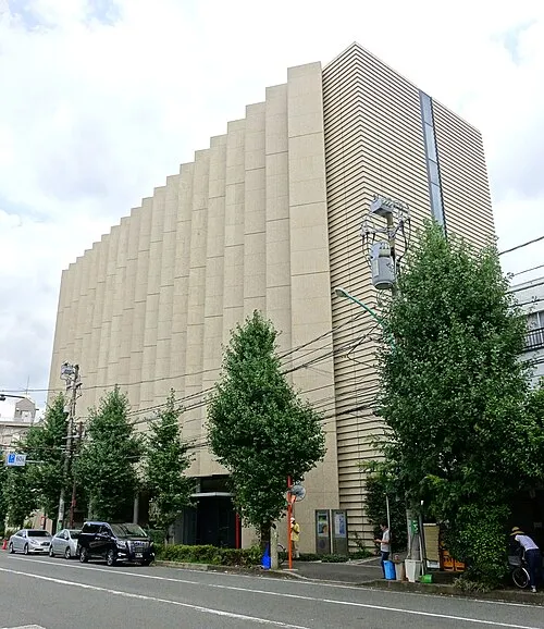 Yamatane Museum of Art Museum, Chiyoda-ku0.9 km NW
-
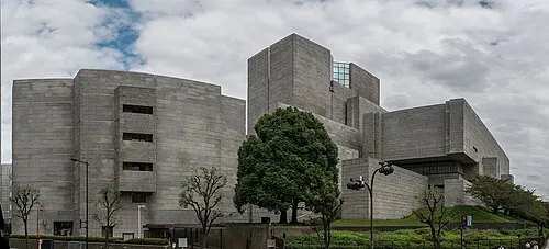 Saikō Saibansho Attraction, Chiyoda-ku1 km SW
-
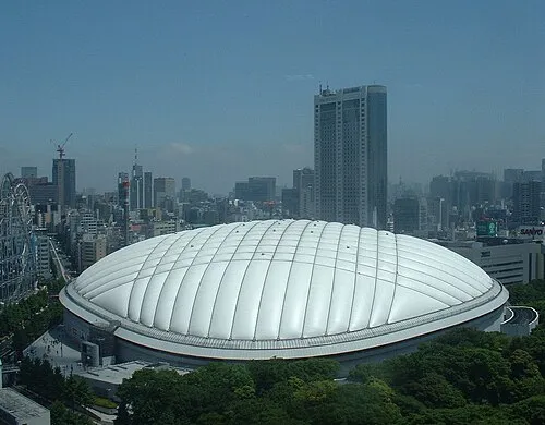 Tokyo Dome Landmark, Bunkyō-ku2.2 km N
-
National Museum of Modern Art Museum, Chiyoda-ku0.6 km N
-
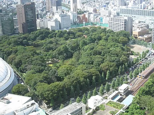 Koishikawa Kōraku En Attraction, Bunkyō-ku2.2 km N
-
 Yushima Seidō Attraction, Bunkyō-ku2.1 km NE
Nearest towns and villages
-
Chiyoda City Neighbourhood, Chiyoda-ku0.3 km W
-
Akihabara Neighbourhood, Chiyoda-ku2.3 km NE
-
Nagatachō Neighbourhood, Chiyoda-ku1.4 km SW
-
Akasaka Neighbourhood, Minato-ku2.3 km SW
Sources & licences
Data last updated: · 2 independent sources