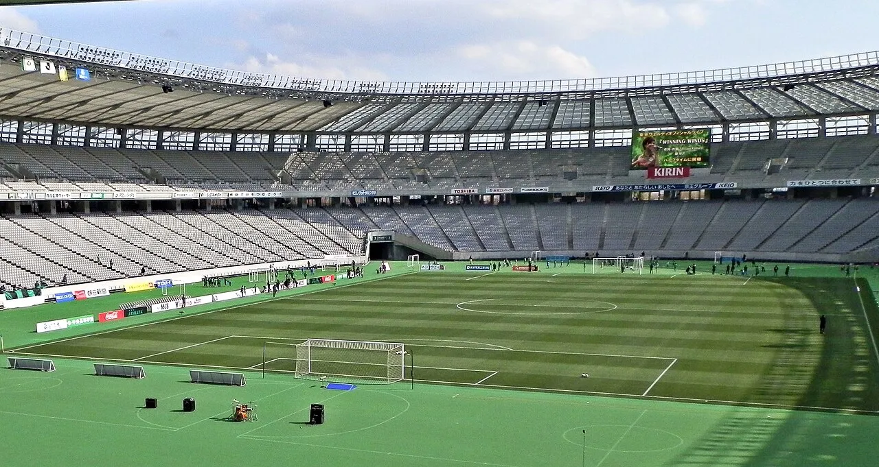
- Local time
- UTC+09:00
- Asia/Tokyo · UTC+09:00
- Elevation
- 47 m
- above sea level
- Airports
- HND Tokyo Haneda International Airport27 km
- NRT Narita International Airport79 km
About Ajinomoto Stadium
Ajinomoto Stadium is a landmark. Location: Chōfu-shi, Tokyo.
The Tokyo Stadium (東京スタジアム, Tōkyō Sutajiamu), currently known as Ajinomoto Stadium (味の素スタジアム, Ajinomoto Sutajiamu; or simply Ajisuta) for sponsorship reasons, is a multi-purpose stadium in Chōfu, Tokyo, Japan. The stadium was founded at Kantō Mura, the redevelopment area formerly used by United States Forces Japan, in March 2001. It was the first stadium in Japan that sold its naming rights, which went to Ajinomoto Co., Inc. on a five-year, 1.2 billion yen (about 10 million U.S.
Source: Wikipedia · CC BY-SA 4.0
At a glance
- Built
- 1999
- Opened
- 2001
- Architect
- Nihon Sekkei
- Official website
- ajinomotostadium.com
Source: Wikidata
Photos of Ajinomoto Stadium
-

vil · CC BY-SA 3.0 -

江戸村のとくぞう · CC BY-SA 4.0 -

江戸村のとくぞう · CC BY-SA 4.0 -

江戸村のとくぞう · CC BY-SA 4.0 -

江戸村のとくぞう · CC BY-SA 4.0


Climate of Ajinomoto Stadium
Best months for sightseeingBest months for sightseeing: May–June, October.
This month · November
Outside the best season
Day 17° · Night 8° · Rain 91 mm
Better nearby cities in November
- Isehara · 35 km southwest18°
- Odawara · 56 km southwest19°
- Mishima · 82 km southwest18°
- Hottest month
- August (day 30°)
- Coldest month
- January (night 0°)
- Wettest month
- September (209 mm)
- Driest month
- December (45 mm)
Bars: average monthly low and high temperature. Below: precipitation. Monthly averages for 1970–2000 at about 18 km resolution, adjusted for elevation. Highlighted months are mild and relatively dry. Source: WorldClim 2.1 (CC BY 4.0).
Show values as a table
| Month | Jan | Feb | Mar | Apr | May | Jun | Jul | Aug | Sep | Oct | Nov | Dec |
|---|---|---|---|---|---|---|---|---|---|---|---|---|
| Average high (°C) | 9° | 10° | 13° | 19° | 23° | 25° | 29° | 30° | 27° | 21° | 17° | 12° |
| Average low (°C) | 0° | 1° | 4° | 9° | 14° | 18° | 22° | 23° | 20° | 14° | 8° | 3° |
| Precipitation (mm) | 47 | 61 | 108 | 126 | 145 | 196 | 160 | 175 | 209 | 182 | 91 | 45 |
How to get to Ajinomoto Stadium
The nearest airport is Tokyo Haneda International Airport (HND), 27 km to the southeast as the crow flies. The nearest large city is Chōfu, 2 km to the east.
Airports
- Tokyo Haneda International Airport (HND) Tokyo 27 kmsoutheast
- Narita International Airport (NRT) Narita 79 kmeast
- Ibaraki Airport (IBR) Omitama 99 kmnortheast
Nearby large cities
- Chōfu Population: 242.6K 2 kmeast
- Fuchū Population: 262.8K 4 kmwest
- Koganei Population: 126.1K 4 kmnorth
- Musashino Population: 150.1K 5 kmnortheast
- Tama Population: 148.3K 6 kmsouthwest
Straight-line distances; road distances are longer. Airport data: OurAirports.
Day trips from Ajinomoto Stadium
Within 100 km: 50 historic and cultural sites, 44 natural sites, 46 lakes, rivers and coasts.
0–25 km38 places
- Ueno Dōbutsuen Attraction 23 kmE
- National Museum of Modern Art Museum 21 kmE
- Arisugawa-no-miya Memorial Park Natural site 18 kmE
- Saikō Saibansho Attraction 20 kmE
25–60 km65 places
- Jōga Shima Island 59 kmS
- Enoshima Island 41 kmS
- Saitama Super Arena Landmark 27 kmN
- Mount Bukō Mountain 50 kmNW
60–100 km37 places
- Hatsu-shima Island 76 kmSW
- Umeda Ko Lake 91 kmN
- Lake Shoji Lake 86 kmW
- Mount Echizen-dake Mountain 82 kmSW
Straight-line distances.
Nearby attractions & nature
Everything nearby-
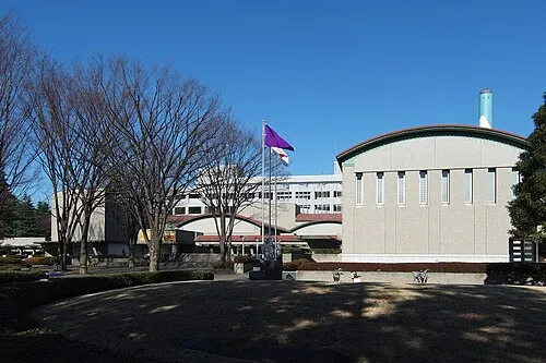 Setagaya Art Museum Museum, Setagaya-ku9.3 km SE
-
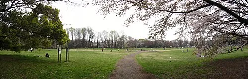 Koganei park Natural site, Koganei5.7 km N
-
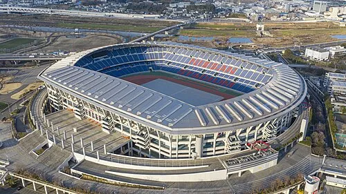 Nissan Stadium Landmark, Kōhoku-ku19 km SE
-
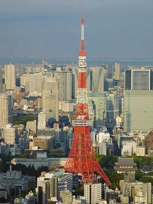 Tokyo Tower Landmark, Minato-ku20 km E
-
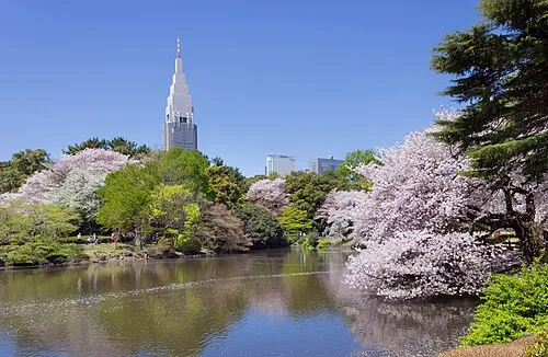 Shinjuku Gyōen Attraction, Shinjuku17 km E
-
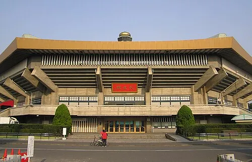 Nippon Budōkan Landmark, Chiyoda-ku20 km E
-
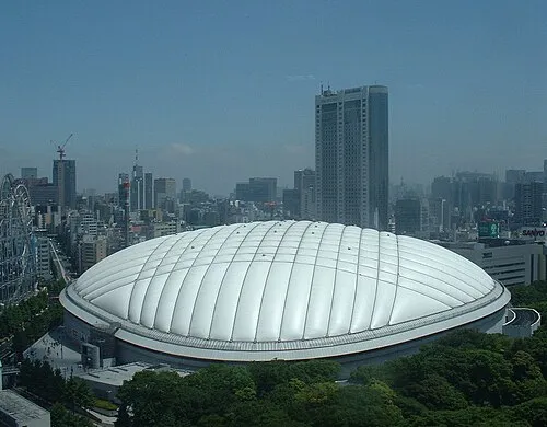 Tokyo Dome Landmark, Bunkyō-ku21 km E
-
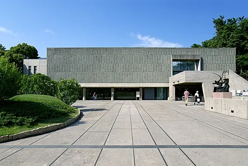 National Museum of Western Art Museum, Taito23 km E
Nearest towns and villages
Sources & licences
Data last updated: · 2 independent sources