Musashino
Local name: 武蔵野市
Located in Musashino-shi, Tokyo Coordinates: 35°42′22″ N 139°33′34″ E
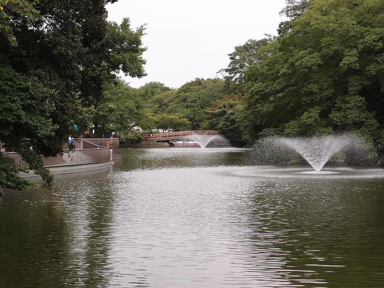
- Population
- 150,149
- 150.1K
- Elevation
- 62 m
- above sea level
- Local time
- UTC+09:00
- Asia/Tokyo · UTC+09:00
- Airports
- HND Tokyo Haneda International Airport27 km
- NRT Narita International Airport75 km
About Musashino
Musashino is a city. Location: Musashino-shi, Tokyo. Population: 150,149. Elevation: 62 m.
Musashino (武蔵野市, Musashino-shi; Japanese pronunciation: [mɯ̈̀.sä́.ɕí.nó̞(.ɕì)]) is a city located in the western portion of the Tokyo Metropolis, Japan. As of 1 February 2024, the city had an estimated population of 147,754 in 78,614 households, and a population density of 13,000 persons per km2. The total area of the city is 10.98 square kilometres (4.24 sq mi). Based on the 2019 survey by SUUMO, the Kichijoji neighborhood of Musashino was the third most desirable place to live in central Japan.
Source: Wikipedia · CC BY-SA 4.0
Photos of Musashino
-

運転太郎 · CC BY 3.0 -
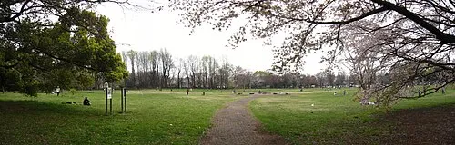
Koganei park Itasan · CC BY 3.0 -

Kinuta Park koji_h · CC BY-SA 3.0 -
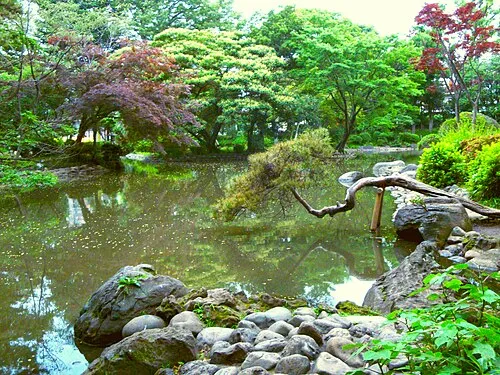
Arisugawa-no-miya Memorial Park Irina Gelbukh · CC BY-SA 3.0 -
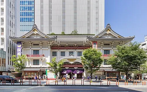
Kabuki-za 歌舞伎座 Kakidai · CC BY-SA 4.0


Travel notes for Musashino
From Wikivoyage
Musashino (武蔵野市 Musashino-shi) is a city in western Tokyo.
Understand+
Musashino was formed as the result of a merger of several nearby neighborhoods. The most notable of these, Kichijoji is in itself a destination, and has its own article. Train travel is ubiquitous, so the second hub of the city is the area near Musashisakai Station. The remainder of the city is largely residential. There are several universities in the area, including Asia University and Musashino University.
The city is roughly squarish in shape, except that the south central part of the square is a part of Mitaka, the neighboring city to the south. The JR Chūō Line, which runs east-west through Musashino, has two stops in the city: Musashisakai (武蔵境, in the west) and Kichijoji (吉祥寺, in the east). Between those is Mitaka.
Tourist information:
The local tourist association has a multilingual guide site (switch to English using the drop-down menu in the upper right-hand corner).
Get in+
By train:
The JR Chūō Line (中央本線) connects Musashino with Shinjuku and Tokyo Station to the east. Mitaka, one stop east of Musashisakai, is a transfer point for several other train lines.
Source: Wikivoyage · CC BY-SA 4.0 · abridged
Places bordering Musashino
- Suginami-ku
- Mitaka-shi
- Koganei
- Nishi-Tokyo-shi
- Nerima-ku
Twin towns and sister cities of Musashino
- Azumino· Japan
- Tōno· Japan
- Nanto-shi· Japan
- Sakata· Japan
- Ōsakikamijima· Japan
- Nagaoka Shi· Japan
- Minamibōsō Shi· Japan
- Lubbock· United States
- Kawakami Mura· Japan
- Iwami Chō· Japan
Source: Wikidata. Only places with a page on this site are shown.
Population of Musashino over time
| 2010 | 138,734 | |
|---|---|---|
| 2015 | 144,730 | |
| 2021 | 148,971 |
Censuses and official estimates; source: Wikidata.
Climate of Musashino
Best months for sightseeingBest months for sightseeing: May–June, October.
This month · November
Outside the best season
Day 16° · Night 7° · Rain 80 mm
Better nearby cities in November
- Isehara · 41 km southwest18°
- Odawara · 62 km southwest19°
- Mishima · 88 km southwest18°
- Hottest month
- August (day 30°)
- Coldest month
- January (night -1°)
- Wettest month
- September (205 mm)
- Driest month
- January (41 mm)
Bars: average monthly low and high temperature. Below: precipitation. Monthly averages for 1970–2000 at about 18 km resolution, adjusted for elevation. Highlighted months are mild and relatively dry. Source: WorldClim 2.1 (CC BY 4.0).
Show values as a table
| Month | Jan | Feb | Mar | Apr | May | Jun | Jul | Aug | Sep | Oct | Nov | Dec |
|---|---|---|---|---|---|---|---|---|---|---|---|---|
| Average high (°C) | 9° | 10° | 13° | 19° | 23° | 25° | 29° | 30° | 26° | 21° | 16° | 12° |
| Average low (°C) | -1° | 0° | 3° | 9° | 14° | 18° | 21° | 23° | 19° | 13° | 7° | 2° |
| Precipitation (mm) | 41 | 56 | 94 | 114 | 136 | 185 | 162 | 176 | 205 | 171 | 80 | 41 |
How to get to Musashino
The nearest airport is Tokyo Haneda International Airport (HND), 27 km to the southeast as the crow flies. The nearest large city is Nishi-Tokyo-shi, 3 km to the northwest.
Airports
- Tokyo Haneda International Airport (HND) Tokyo 27 kmsoutheast
- Narita International Airport (NRT) Narita 75 kmeast
- Ibaraki Airport (IBR) Omitama 93 kmnortheast
Nearby large cities
- Nishi-Tokyo-shi Population: 207.4K 3 kmnorthwest
- Koganei Population: 126.1K 4 kmwest
- Chōfu Population: 242.6K 5 kmsouth
- Higashikurume Population: 117K 7 kmnorthwest
- Kodaira Population: 198.7K 7 kmwest
Straight-line distances; road distances are longer. Airport data: OurAirports.
Day trips from Musashino
Within 100 km: 50 historic and cultural sites, 45 natural sites, 46 lakes, rivers and coasts.
0–25 km44 places
- Saitama Super Arena Landmark 22 kmN
- Iruma River River 23 kmN
- Ueno Dōbutsuen Attraction 19 kmE
- National Museum of Modern Art Museum 18 kmE
25–60 km55 places
- Enoshima Island 46 kmS
- Mount Bukō Mountain 50 kmNW
- Mount Ōyama Natural site 45 kmS
- Obitsu River River 45 kmSE
60–100 km42 places
- Jōga Shima Island 64 kmS
- Hatsu-shima Island 82 kmSW
- Umeda Ko Lake 87 kmN
- Nagatsuro Saki Lighthouse Landmark 64 kmS
Straight-line distances.
Musashino and similar cities
Side by side with cities of similar size in the same country: population, elevation and climate.
| Measure | Musashino | Kukichūō | Shūnan | Komaki |
|---|---|---|---|---|
| Population | 150.1K | 150.6K | 149.6K | 148.9K |
| Elevation | 62 m | 14 m | 316 m | 17 m |
| Summer day (hottest month) | 30° | 30° | 29° | 32° |
| Winter night (coldest month) | -1° | -2° | 0° | 0° |
| Annual rainfall | 1,461 mm | 1,303 mm | 1,869 mm | 1,974 mm |
| Best months | May–Jun, Oct | May–Jun, Sep–Oct | May–Jun, Sep–Oct | Apr–Jun, Oct |
| Distance | — | 41 km | 729 km | 244 km |
Climate values are 1970–2000 monthly averages; straight-line distance.
Nearby attractions & nature
Everything nearby-
Koganei park Natural site, Koganei3.8 km W
-
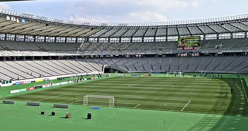 Ajinomoto Stadium Landmark, Chōfu-shi5.5 km SW
-
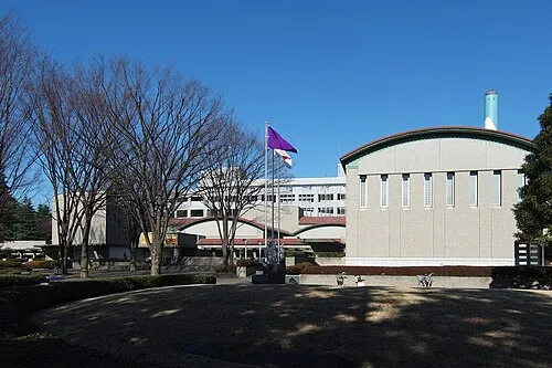 Setagaya Art Museum Museum, Setagaya-ku10 km SE
-
Kinuta Park Natural site, Setagaya-ku10 km SE
-
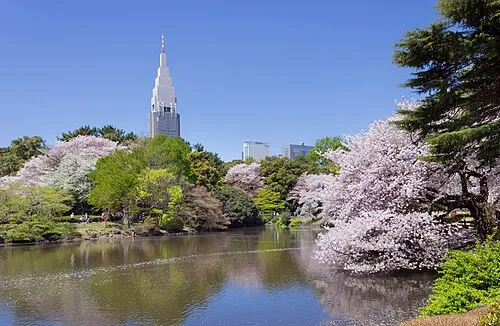 Shinjuku Gyōen Attraction, Shinjuku14 km E
-
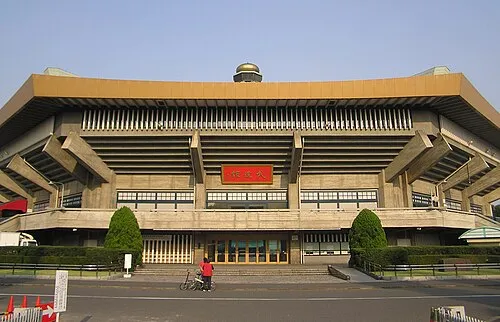 Nippon Budōkan Landmark, Chiyoda-ku17 km E
-
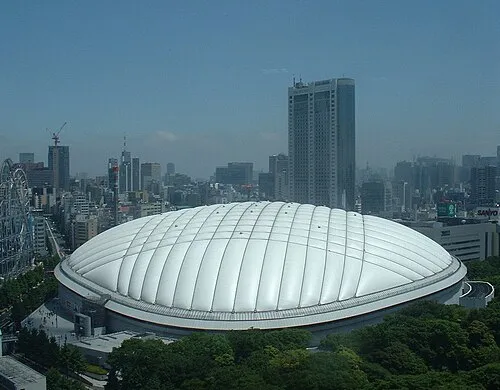 Tokyo Dome Landmark, Bunkyō-ku17 km E
-
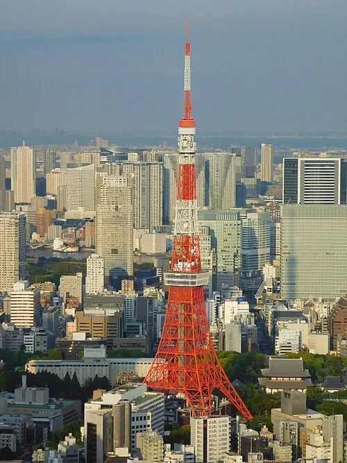 Tokyo Tower Landmark, Minato-ku18 km E
Sources & licences
Data last updated: · 2 independent sources