Tokyo Sky Tree
Local name: 東京スカイツリー
Located in Sumida, Tokyo Coordinates: 35°42′36″ N 139°48′39″ E
- Local time
- UTC+09:00
- Asia/Tokyo · UTC+09:00
- Elevation
- 634 m
- above sea level
- Airports
- HND Tokyo Haneda International Airport18 km
- NRT Narita International Airport53 km
About Tokyo Sky Tree
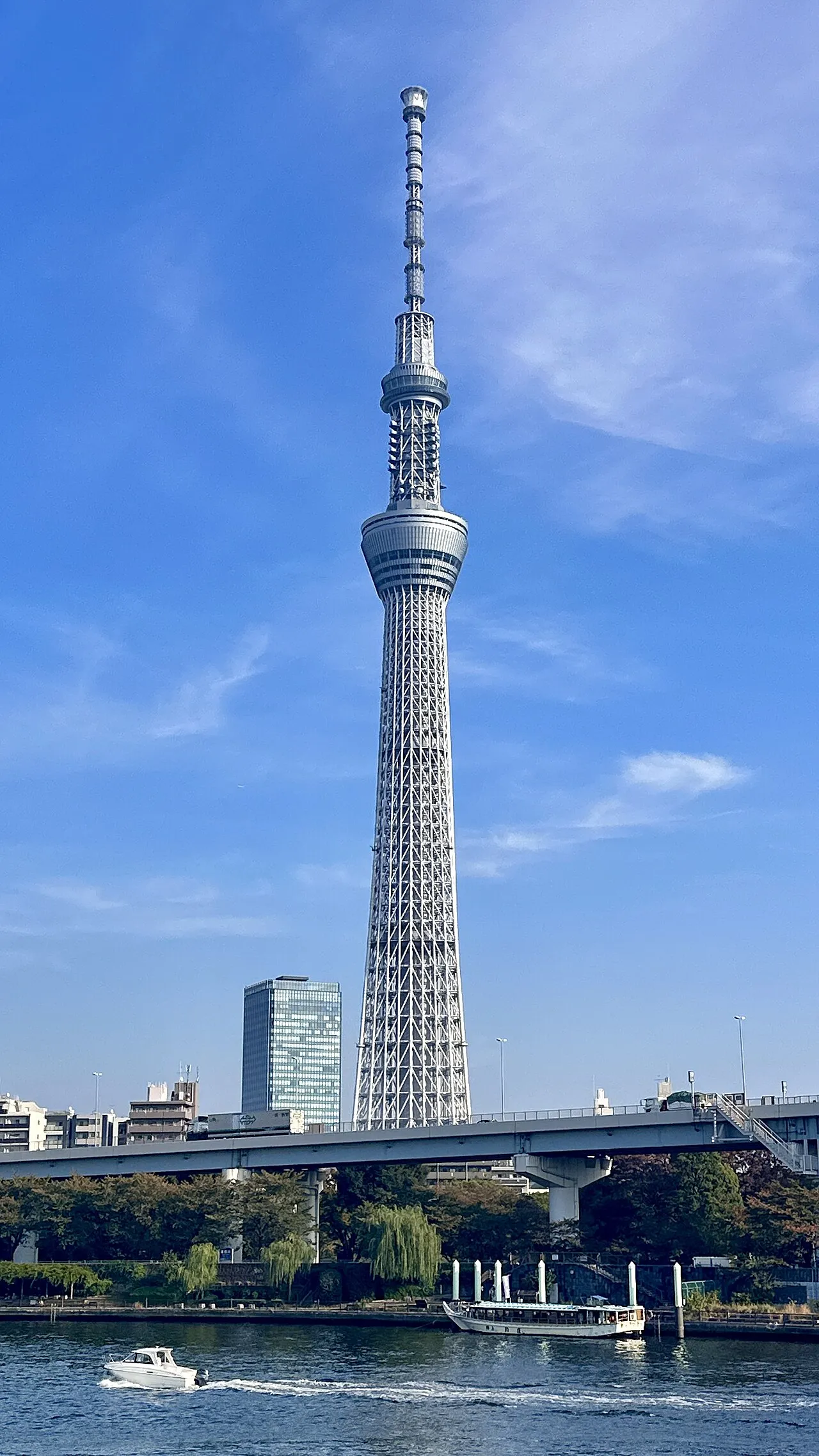
Tokyo Sky Tree is a landmark. Location: Sumida, Tokyo.
Tokyo Skytree (東京スカイツリー, Tōkyō Sukaitsurī; [tò̞ó̞.kʲjó̞ó̞ (|) sɯ̥̈.kä́í.t͡sɯ̈́.ɾʲíì, tó̞ó̞.-] ), a.k.a Tokyo Sky Tree, is a broadcasting and observation tower, located in Sumida, Tokyo, Japan. It has been the tallest tower in Japan since opening in 2012, and reached its full height of 634 m (2,080 ft) in early 2011, making it the tallest tower in the world, displacing the Canton Tower, and the third tallest structure in the world behind Merdeka 118 (678.9 m (2,227 ft) and Burj Khalifa (829.8 m or 2,722 ft).
Read more on Wikipedia Text: Wikipedia contributors · CC BY-SA 4.0 · shortened
At a glance
- Built
- 2012
- Opened
- 2012
- Architect
- Nikken Sekkei
- Architectural style
- neo-futurism
- Height
- 634 m
- Official website
- tokyo-skytree.jp
Source: Wikidata
Climate of Tokyo Sky Tree
Best months for sightseeingBest months for sightseeing: May–September.
Bars: average monthly low and high temperature. Below: precipitation. Monthly averages for 1970–2000 at about 18 km resolution, adjusted for elevation. Highlighted months are mild and relatively dry. Source: WorldClim 2.1 (CC BY 4.0).
Show values as a table
| Month | Jan | Feb | Mar | Apr | May | Jun | Jul | Aug | Sep | Oct | Nov | Dec |
|---|---|---|---|---|---|---|---|---|---|---|---|---|
| Average high (°C) | 6° | 6° | 9° | 15° | 19° | 21° | 25° | 27° | 23° | 18° | 13° | 8° |
| Average low (°C) | -3° | -3° | 0° | 6° | 10° | 14° | 18° | 19° | 16° | 10° | 4° | -1° |
| Precipitation (mm) | 43 | 58 | 101 | 119 | 129 | 174 | 157 | 157 | 202 | 167 | 85 | 40 |
Other places to visit in this season: May June July August September
Airports nearest to Tokyo Sky Tree
- Tokyo Haneda International Airport (HND) Tokyo 18 km
- Narita International Airport (NRT) Narita 53 km
- Ibaraki Airport (IBR) Omitama 76 km
Straight-line distance; airports with scheduled flights only. Source: OurAirports (public domain).
Nearby attractions & nature
Everything nearby-
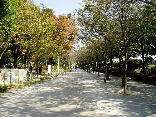 Sumida Kōen Natural site, Sumida0.7 km W
-
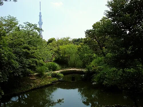 Mukōjima Hyakkaen Attraction, Sumida1.6 km N
-
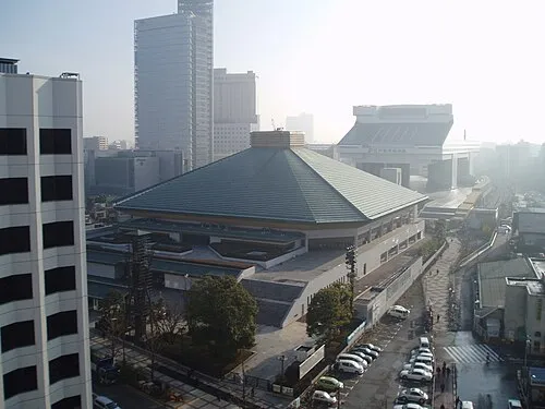 Ryōgoku Kokugikan Landmark, Sumida2.1 km SW
-
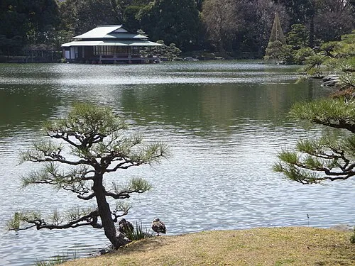 Kiyosumi Teien Attraction, Koto-ku3.5 km S
-
 Kan’ei Ji Attraction, Taito3.5 km W
-
 Yushima Seidō Attraction, Bunkyō-ku4.1 km W
-
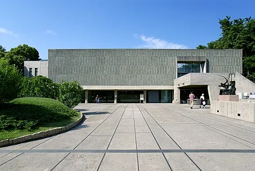 National Museum of Western Art Museum, Taito3.2 km W
-
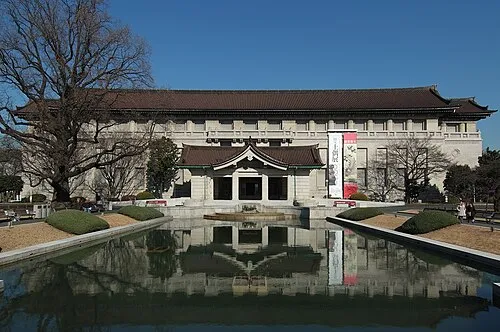 Tokyo National Museum Museum, Taito3.3 km W
Nearest towns and villages
-
Asakusa Neighbourhood, Taito1.6 km NW
-
Sumida City Neighbourhood, Sumida2.7 km N
-
Hirai Neighbourhood, Edogawa-ku2.9 km E
-
Taitō City Neighbourhood, Taito2.9 km W
Sources & licences
Data last updated: · 2 independent sources