Sumida Kōen
Local name: 隅田公園
Located in Sumida, Tokyo Coordinates: 35°42′43″ N 139°48′14″ E
- Elevation
- 7 m
- above sea level
- Local time
- UTC+09:00
- Asia/Tokyo · UTC+09:00
- Airports
- HND Tokyo Haneda International Airport18 km
- NRT Narita International Airport53 km
About Sumida Kōen
Sumida Kōen is a natural site. Location: Sumida, Tokyo.
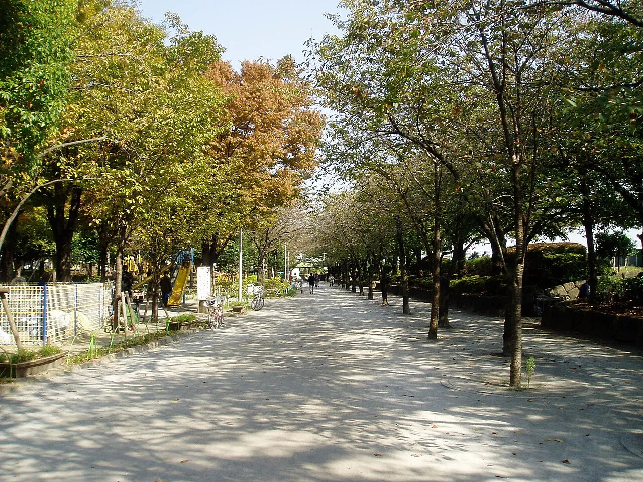
Sumida Park (隅田公園, Sumida Kōen) is a public park in Sumida and Taitō, Tokyo, Japan. Cherry blossoms can be seen in spring, and the Sumidagawa Fireworks Festival is held in July. There are about 700 cherry trees in Sumida Park on both sides of the Sumida River, and they were planted by Tokugawa Yoshimune.
Read more on Wikipedia Text: Wikipedia contributors · CC BY-SA 4.0 · shortened
At a glance
- Built
- 1931
- Opened
- 1931
Source: Wikidata
Climate of Sumida Kōen
Best months for sightseeingBest months for sightseeing: May–June, October.
Bars: average monthly low and high temperature. Below: precipitation. Monthly averages for 1970–2000 at about 18 km resolution, adjusted for elevation. Highlighted months are mild and relatively dry. Source: WorldClim 2.1 (CC BY 4.0).
Show values as a table
| Month | Jan | Feb | Mar | Apr | May | Jun | Jul | Aug | Sep | Oct | Nov | Dec |
|---|---|---|---|---|---|---|---|---|---|---|---|---|
| Average high (°C) | 10° | 10° | 13° | 19° | 23° | 25° | 29° | 31° | 27° | 22° | 17° | 12° |
| Average low (°C) | 1° | 1° | 4° | 10° | 14° | 18° | 22° | 24° | 20° | 14° | 8° | 3° |
| Precipitation (mm) | 43 | 58 | 101 | 119 | 129 | 174 | 157 | 157 | 202 | 167 | 85 | 40 |
Airports nearest to Sumida Kōen
- Tokyo Haneda International Airport (HND) Tokyo 18 km
- Narita International Airport (NRT) Narita 53 km
- Ibaraki Airport (IBR) Omitama 76 km
Straight-line distance; airports with scheduled flights only. Source: OurAirports (public domain).
Nearest towns and villages
-
Asakusa Neighbourhood, Taito0.9 km NW
-
Sumida City Neighbourhood, Sumida2.8 km NE
-
Taitō City Neighbourhood, Taito2.3 km W
-
Akihabara Neighbourhood, Chiyoda-ku3.2 km SW
-
Hirai Neighbourhood, Edogawa-ku3.5 km E
-
Arakawa City Neighbourhood, Arakawa-ku3.6 km NW
Nearby attractions & nature
Everything nearby-
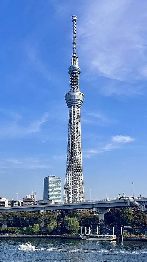 Tokyo Sky Tree Landmark, Sumida0.7 km E
-
Kanda River River, Tokyo2.4 km SW
-
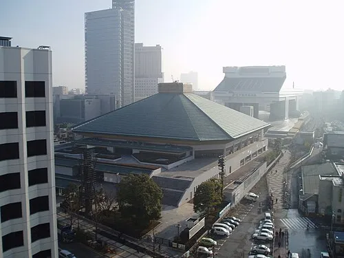 Ryōgoku Kokugikan Landmark, Sumida1.9 km SW
-
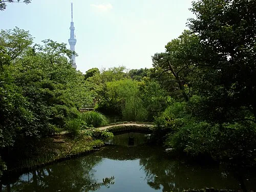 Mukōjima Hyakkaen Attraction, Sumida1.7 km NE
-
Ayase River River, Tokyo3.7 km E
-
 Kan’ei Ji Attraction, Taito2.9 km NW
-
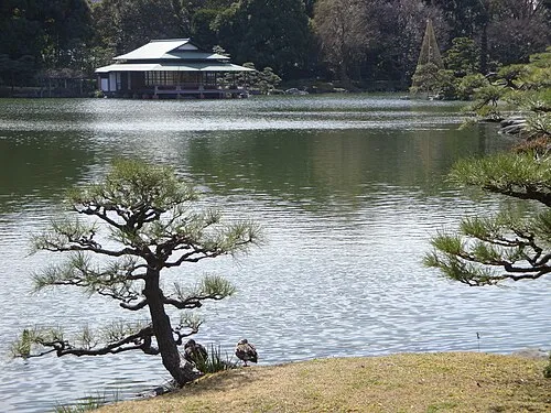 Kiyosumi Teien Attraction, Koto-ku3.6 km S
-
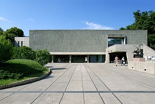 National Museum of Western Art Museum, Taito2.6 km W
Sources & licences
Data last updated: · 2 independent sources