Kiyosumi Teien
Local name: 清澄庭園
Located in Koto-ku, Tokyo Coordinates: 35°40′48″ N 139°47′50″ E
- Local time
- UTC+09:00
- Asia/Tokyo · UTC+09:00
- Elevation
- 6 m
- above sea level
- Airports
- HND Tokyo Haneda International Airport14 km
- NRT Narita International Airport54 km
About Kiyosumi Teien
Kiyosumi Teien is a tourist attraction. Location: Koto-ku, Tokyo.
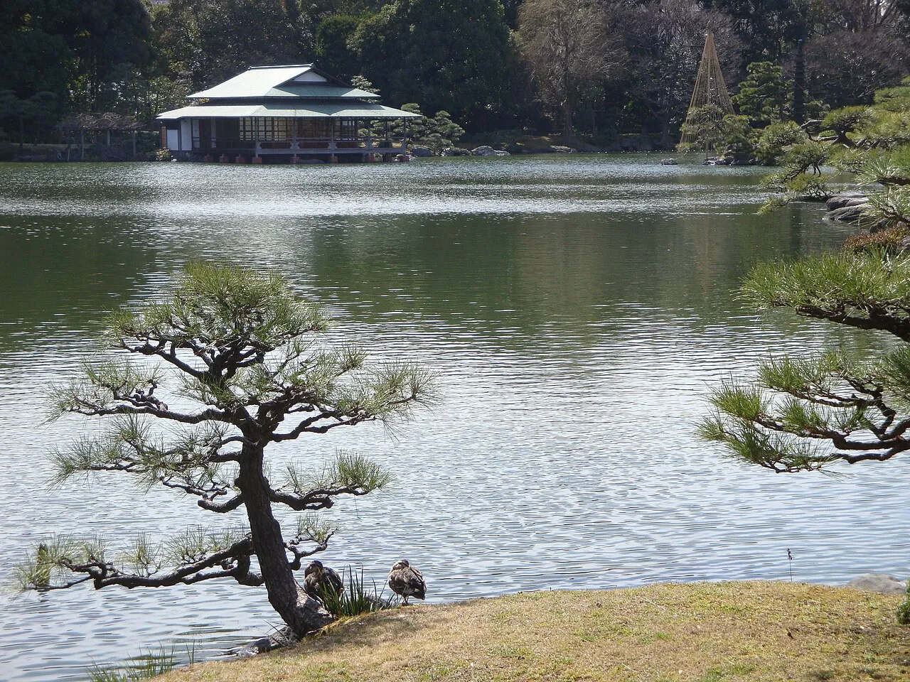
Kiyosumi Garden (清澄庭園, Kiyosumi Teien) is a traditional Japanese stroll garden located in Fukagawa, Tokyo. It was constructed along classic principles in 1878–85, during the Meiji Period, by the shipping financier and industrialist Iwasaki Yatarō. By subtle hints in path construction and placement the visitor is led on a walk around the lake.
Source: Wikipedia · CC BY-SA 4.0
At a glance
- Built
- 1880
- Opened
- 1932
- Heritage designation
- Place of Scenic Beauty, Tokyo Metropolitan Government-designated architectural structure of historic value
- Area
- 8.1 ha
- Official website
- tokyo-park.or.jp
Source: Wikidata
Photos of Kiyosumi Teien
-

Guilhem Vellut from Annecy, France · CC BY 2.0 -

Guilhem Vellut from Annecy, France · CC BY 2.0 -
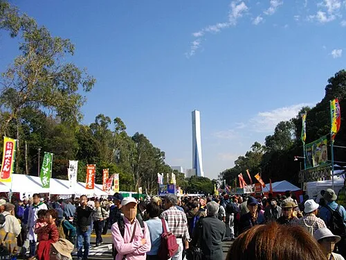
Yumenoshima Park 保守 · Public domain -
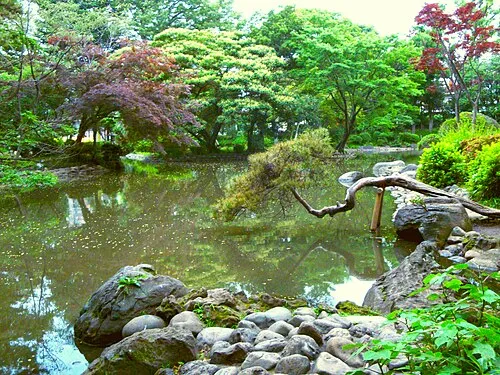
Arisugawa-no-miya Memorial Park Irina Gelbukh · CC BY-SA 3.0 -
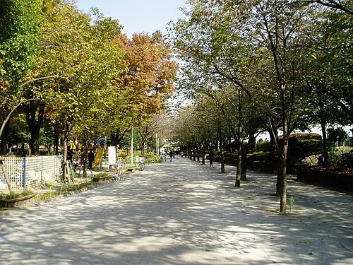
Sumida Kōen Mnd · CC BY-SA 3.0


Climate of Kiyosumi Teien
Best months for sightseeingBest months for sightseeing: May–June, October.
This month · November
Outside the best season
Day 17° · Night 8° · Rain 85 mm
Better nearby cities in November
- Isehara · 54 km southwest18°
- Odawara · 75 km southwest19°
- Mishima · 101 km southwest18°
- Hottest month
- August (day 31°)
- Coldest month
- January (night 1°)
- Wettest month
- September (202 mm)
- Driest month
- December (40 mm)
Bars: average monthly low and high temperature. Below: precipitation. Monthly averages for 1970–2000 at about 18 km resolution, adjusted for elevation. Highlighted months are mild and relatively dry. Source: WorldClim 2.1 (CC BY 4.0).
Show values as a table
| Month | Jan | Feb | Mar | Apr | May | Jun | Jul | Aug | Sep | Oct | Nov | Dec |
|---|---|---|---|---|---|---|---|---|---|---|---|---|
| Average high (°C) | 10° | 10° | 13° | 19° | 23° | 25° | 29° | 31° | 27° | 22° | 17° | 12° |
| Average low (°C) | 1° | 1° | 4° | 10° | 14° | 18° | 22° | 24° | 20° | 14° | 8° | 3° |
| Precipitation (mm) | 43 | 58 | 101 | 119 | 129 | 174 | 157 | 157 | 202 | 167 | 85 | 40 |
How to get to Kiyosumi Teien
The nearest airport is Tokyo Haneda International Airport (HND), 14 km to the south as the crow flies. The nearest large city is Chuo, 2 km to the southwest.
Airports
- Tokyo Haneda International Airport (HND) Tokyo 14 kmsouth
- Narita International Airport (NRT) Narita 54 kmeast
- Ibaraki Airport (IBR) Omitama 79 kmnortheast
Nearby large cities
- Chuo Population: 169.2K 2 kmsouthwest
- Minato Population: 260.5K 5 kmsouthwest
- Katsushika-ku Population: 453.1K 8 kmnortheast
- Urayasu Population: 171.4K 10 kmeast
- Kita-ku Population: 332.1K 10 kmnorthwest
Straight-line distances; road distances are longer. Airport data: OurAirports.
Day trips from Kiyosumi Teien
Within 100 km: 49 historic and cultural sites, 39 natural sites, 42 lakes, rivers and coasts.
0–25 km46 places
- Rokugi En Attraction 7 kmNW
- Shinjuku Gyōen Attraction 8 kmW
- Gokoku Ji Attraction 8 kmNW
- Setagaya Art Museum Museum 17 kmW
25–60 km44 places
- Enoshima Island 51 kmSW
- Sagami River River 56 kmSW
- Mount Ōyama Natural site 44 kmS
- Obitsu River River 31 kmS
60–100 km40 places
- Jōga Shima Island 63 kmS
- Hatsu-shima Island 91 kmSW
- Mount_Tsukuba Mountain 67 kmNE
- Mount Kaba Mountain 76 kmNE
Straight-line distances.
Nearby attractions & nature
Everything nearby-
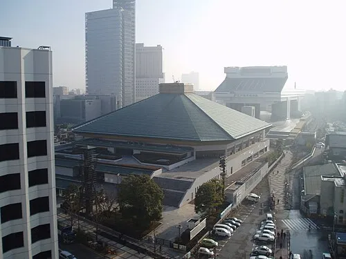 Ryōgoku Kokugikan Landmark, Sumida1.9 km N
-
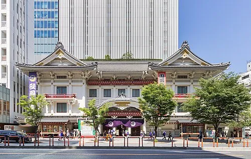 Kabuki-za 歌舞伎座 Attraction, Chuo2.9 km SW
-
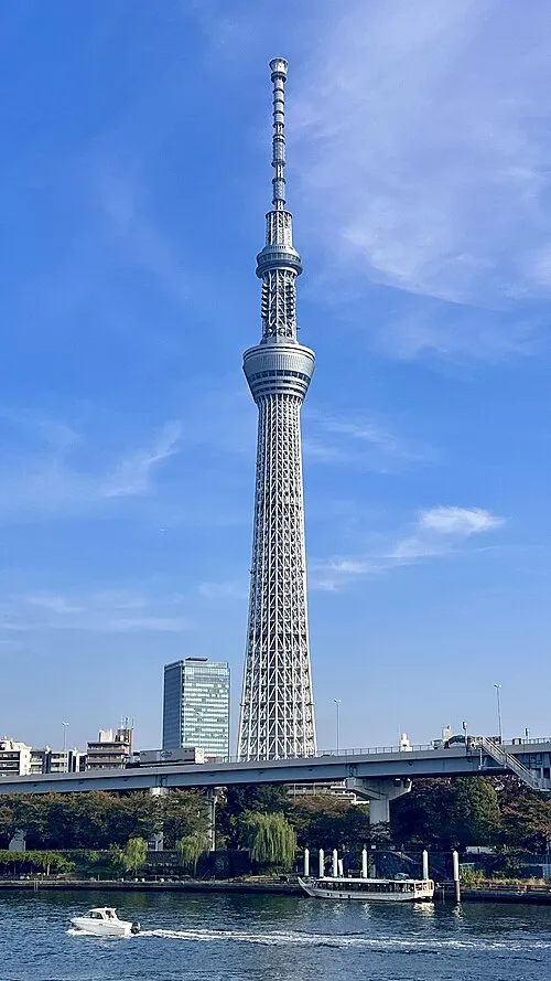 Tokyo Sky Tree Landmark, Sumida3.5 km N
-
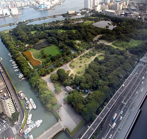 Hamarikyu Gardens Attraction, Chuo3.8 km SW
-
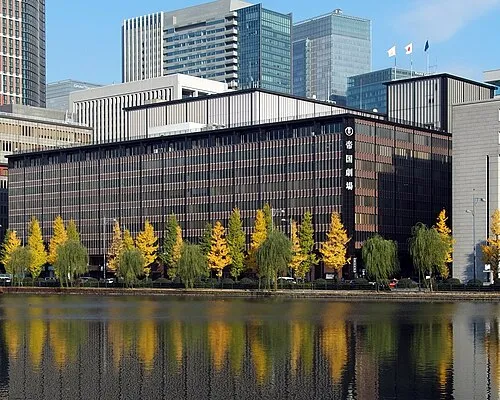 Teikoku Gekijō Attraction, Chiyoda-ku3.3 km W
-
 Yushima Seidō Attraction, Bunkyō-ku3.6 km NW
-
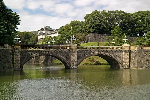 Tokyo Imperial Palace Historic site, Chiyoda-ku4 km W
-
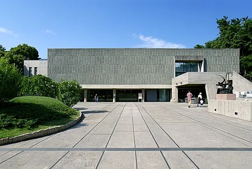 National Museum of Western Art Museum, Taito4.4 km NW
Nearest towns and villages


Sources & licences
Data last updated: · 2 independent sources