- Elevation
- 11 m
- above sea level
- Local time
- UTC+09:00
- Asia/Tokyo · UTC+09:00
- Airports
- HND Tokyo Haneda International Airport16 km
- NRT Narita International Airport55 km
About Kanda River
Kanda River is a river. Location: Tokyo, Japan.
The Kanda River (神田川, Kandagawa) stretches 24.6 km (15.3 mi) from Inokashira Park in Mitaka to the Sumida River under the Ryōgoku Bridge at the boundary of Taitō, Chūō, and Sumida. Its entire length lies within Tokyo, Japan. It drains an area of 105.0 km2 (40.5 sq mi). The government of Japan classifies it as a Class A river.
Read more on Wikipedia Text: Wikipedia contributors · CC BY-SA 4.0 · shortened
At a glance
- Length
- 25 km
Source: Wikidata
Climate of Kanda River
Best months for sightseeingBest months for sightseeing: May–June, October.
Bars: average monthly low and high temperature. Below: precipitation. Monthly averages for 1970–2000 at about 18 km resolution, adjusted for elevation. Highlighted months are mild and relatively dry. Source: WorldClim 2.1 (CC BY 4.0).
Show values as a table
| Month | Jan | Feb | Mar | Apr | May | Jun | Jul | Aug | Sep | Oct | Nov | Dec |
|---|---|---|---|---|---|---|---|---|---|---|---|---|
| Average high (°C) | 10° | 10° | 13° | 19° | 23° | 25° | 29° | 31° | 27° | 22° | 17° | 12° |
| Average low (°C) | 1° | 1° | 4° | 10° | 14° | 18° | 22° | 23° | 20° | 14° | 8° | 3° |
| Precipitation (mm) | 43 | 58 | 101 | 119 | 129 | 174 | 157 | 157 | 202 | 167 | 85 | 40 |
Airports nearest to Kanda River
- Tokyo Haneda International Airport (HND) Tokyo 16 km
- Narita International Airport (NRT) Narita 55 km
- Ibaraki Airport (IBR) Omitama 78 km
Straight-line distance; airports with scheduled flights only. Source: OurAirports (public domain).
Nearest towns and villages
-
Taitō City Neighbourhood, Taito1.6 km NW
-
Akihabara Neighbourhood, Chiyoda-ku1.4 km W
-
Iwamotochō Neighbourhood, Chiyoda-ku1 km W
-
Asakusa Neighbourhood, Taito2.5 km N
-
Chuo City, Chuo3 km S
-
Ueno Neighbourhood, Taito1.7 km NW
Nearby attractions & nature
Everything nearby-
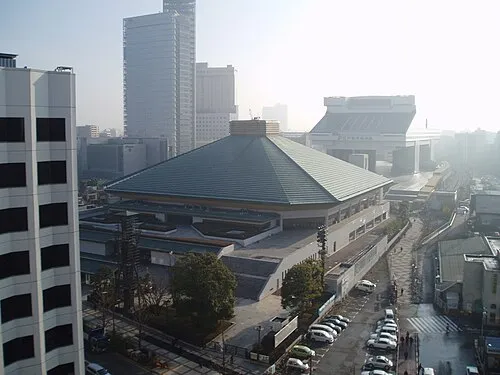 Ryōgoku Kokugikan Landmark, Sumida0.6 km E
-
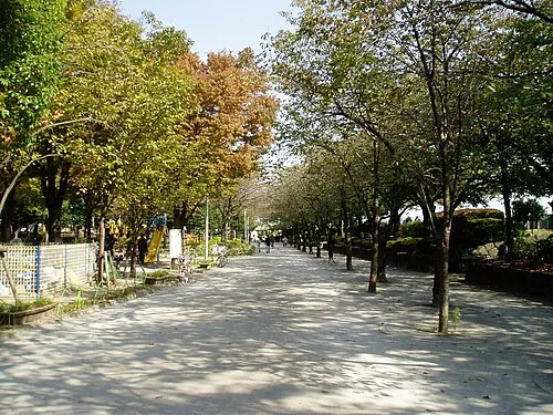 Sumida Kōen Natural site, Sumida2.4 km NE
-
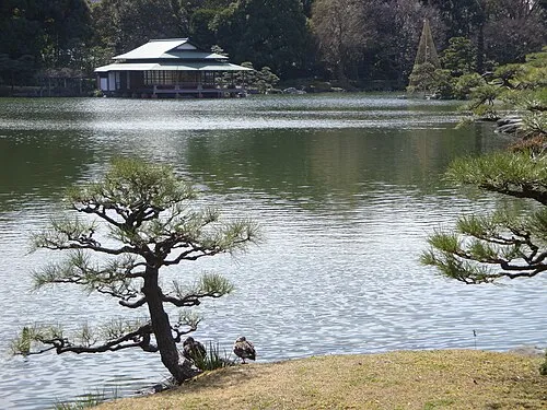 Kiyosumi Teien Attraction, Koto-ku1.9 km SE
-
 Yushima Seidō Attraction, Bunkyō-ku2 km W
-
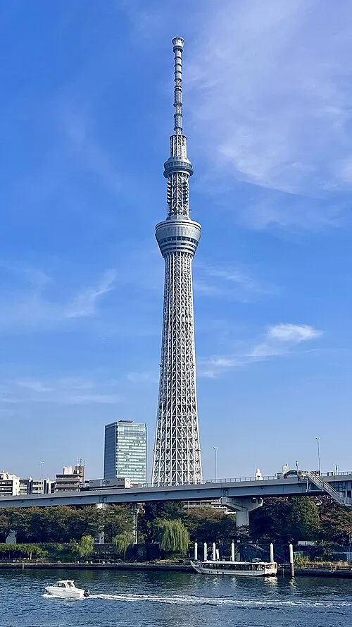 Tokyo Sky Tree Landmark, Sumida2.7 km NE
-
Sumida River River, Tokyo5.3 km SW
-
Ayase River River, Tokyo5.8 km NE
-
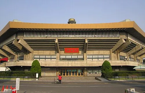 Nippon Budōkan Landmark, Chiyoda-ku3.4 km W
More lakes, rivers and coasts in Japan
-
Meguro River River, Tokyo9.1 km S
-
 Ō Shima Island, Ōshima-machi112 km S
-
 To Shima Island, Tokyo138 km S
-
 Okutama-ko Lake, Tokyo69 km W
-
 Udone Island Island, Tokyo143 km S
Sources & licences
Data last updated: · 2 independent sources