Ō Shima
Local name: 伊豆大島
Located in Ōshima-machi, Ōshima Shichō Coordinates: 34°44′09″ N 139°24′10″ E

- Elevation
- 523 m
- above sea level
- Local time
- UTC+09:00
- Asia/Tokyo · UTC+09:00
- Population
- 8,514
- 8.5K
- Airports
- OIM Oshima Airport6 km
- MYE Miyakejima Airport75 km
About Ō Shima
Ō Shima is an island. Location: Ōshima-machi, Ōshima Shichō. Population: 8,514.
Izu Ōshima (伊豆大島, Izu-ōshima) is an inhabited volcanic island in the Izu archipelago and borders Sagami Bay and the Pacific Ocean, off the coast of Honshu, Japan, 22 km (14 mi) east of the Izu Peninsula and 36 km (22 mi) southwest of Bōsō Peninsula. As with the other islands in the Izu Island group, Izu Ōshima forms part of the Fuji-Hakone-Izu National Park. Izu Ōshima, at 91.06 km2 (35.16 sq mi) is the largest and closest of Tokyo's outlying islands, which also include the Ogasawara Islands.
Source: Wikipedia · CC BY-SA 4.0
At a glance
- Length
- 13 km
- Area
- 90.7 km²
Source: Wikidata
Climate of Ō Shima
Best months for sightseeingBest months for sightseeing: June–September.
This month · November
A wet month
Day 15° · Night 8° · Rain 149 mm
Better nearby cities in November
- Mishima · 61 km northwest18°
- Odawara · 62 km north19°
- Numazu · 63 km northwest18°
- Hottest month
- August (day 26°)
- Coldest month
- February (night 1°)
- Wettest month
- June (261 mm)
- Driest month
- December (80 mm)
Bars: average monthly low and high temperature. Below: precipitation. Monthly averages for 1970–2000 at about 18 km resolution, adjusted for elevation. Highlighted months are mild and relatively dry. Source: WorldClim 2.1 (CC BY 4.0).
Show values as a table
| Month | Jan | Feb | Mar | Apr | May | Jun | Jul | Aug | Sep | Oct | Nov | Dec |
|---|---|---|---|---|---|---|---|---|---|---|---|---|
| Average high (°C) | 9° | 9° | 11° | 15° | 19° | 21° | 24° | 26° | 23° | 19° | 15° | 11° |
| Average low (°C) | 1° | 1° | 3° | 8° | 12° | 15° | 19° | 20° | 18° | 13° | 8° | 4° |
| Precipitation (mm) | 85 | 104 | 170 | 178 | 189 | 261 | 182 | 213 | 253 | 230 | 149 | 80 |
Other places to visit in this season: June July August September
How to get to Ō Shima
The nearest airport is Oshima Airport (OIM), 6 km to the northwest as the crow flies. For international flights: Tokyo Haneda International Airport (HND) (97 km). The nearest large city is Mishima, 61 km to the northwest.
Airports
- Oshima Airport (OIM) Izu Oshima 6 kmnorthwest
- Miyakejima Airport (MYE) Miyakejima 75 kmsouth
- Tokyo Haneda International Airport (HND) Tokyo 97 kmnorth
Nearby large cities
- Mishima Population: 107.9K 61 kmnorthwest
- Odawara Population: 188.9K 62 kmnorth
- Numazu Population: 189.5K 63 kmnorthwest
- Kamakura Population: 172.9K 65 kmnorth
- Yokosuka Population: 409.5K 65 kmnorth
Straight-line distances; road distances are longer. Airport data: OurAirports.
Nearest towns and villages
-
Toshima Mura Municipality, Ōshima Shichō26 km SW
-
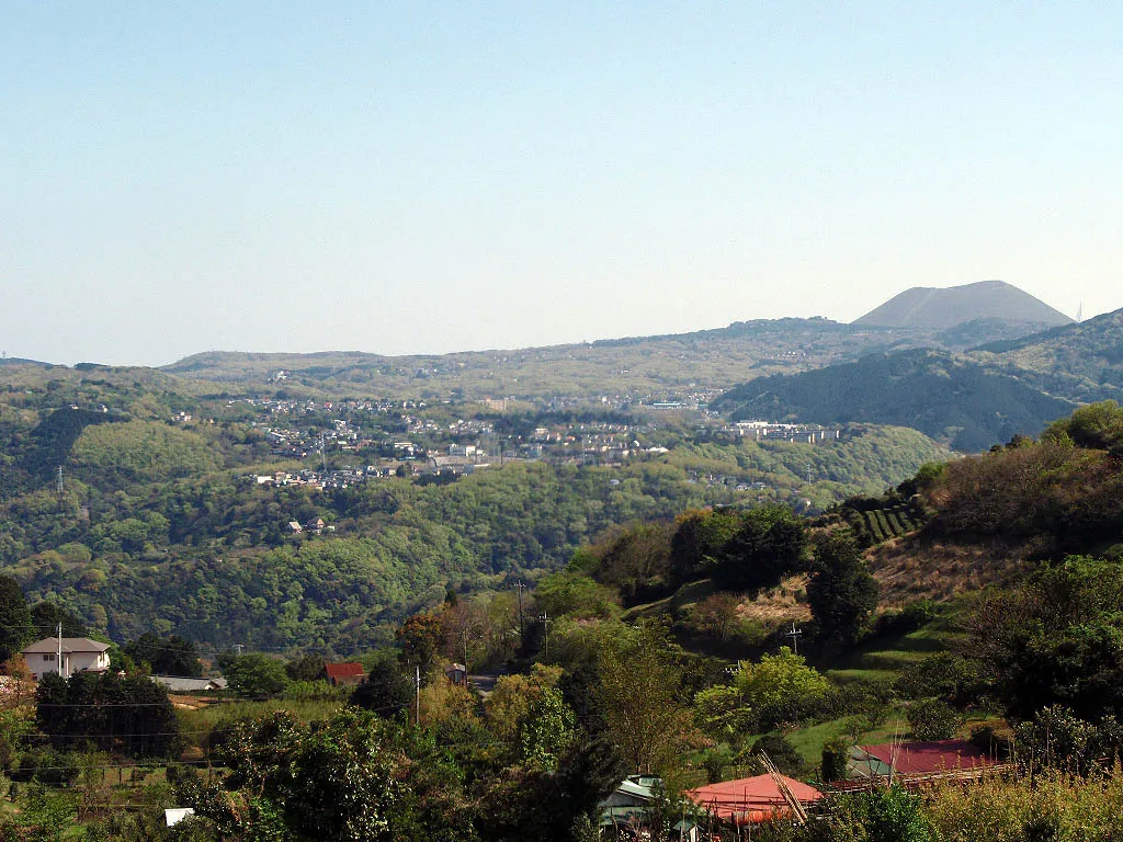 Itō City, Itō Shi39 km NW
-
Higashiizu Chō Municipality, Kamo36 km W
-
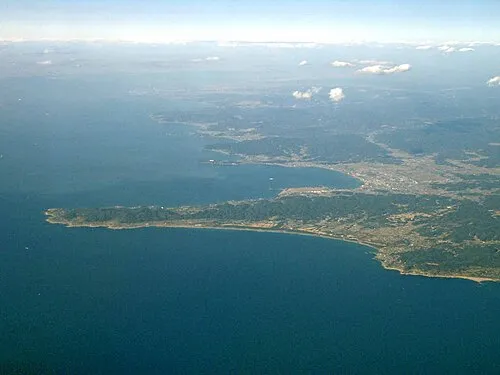 Tateyama City, Tateyama Shi51 km NE
-
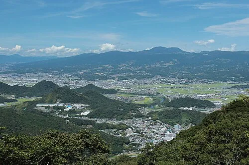 Izunokuni City, Izunokuni-shi53 km NW
-
Kannami Chō Municipality, Tagata56 km NW
Sources & licences
Data last updated: · 2 independent sources