Izunokuni
Local name: 伊豆の国市
Located in Izunokuni-shi, Shizuoka Coordinates: 35°02′21″ N 138°57′05″ E
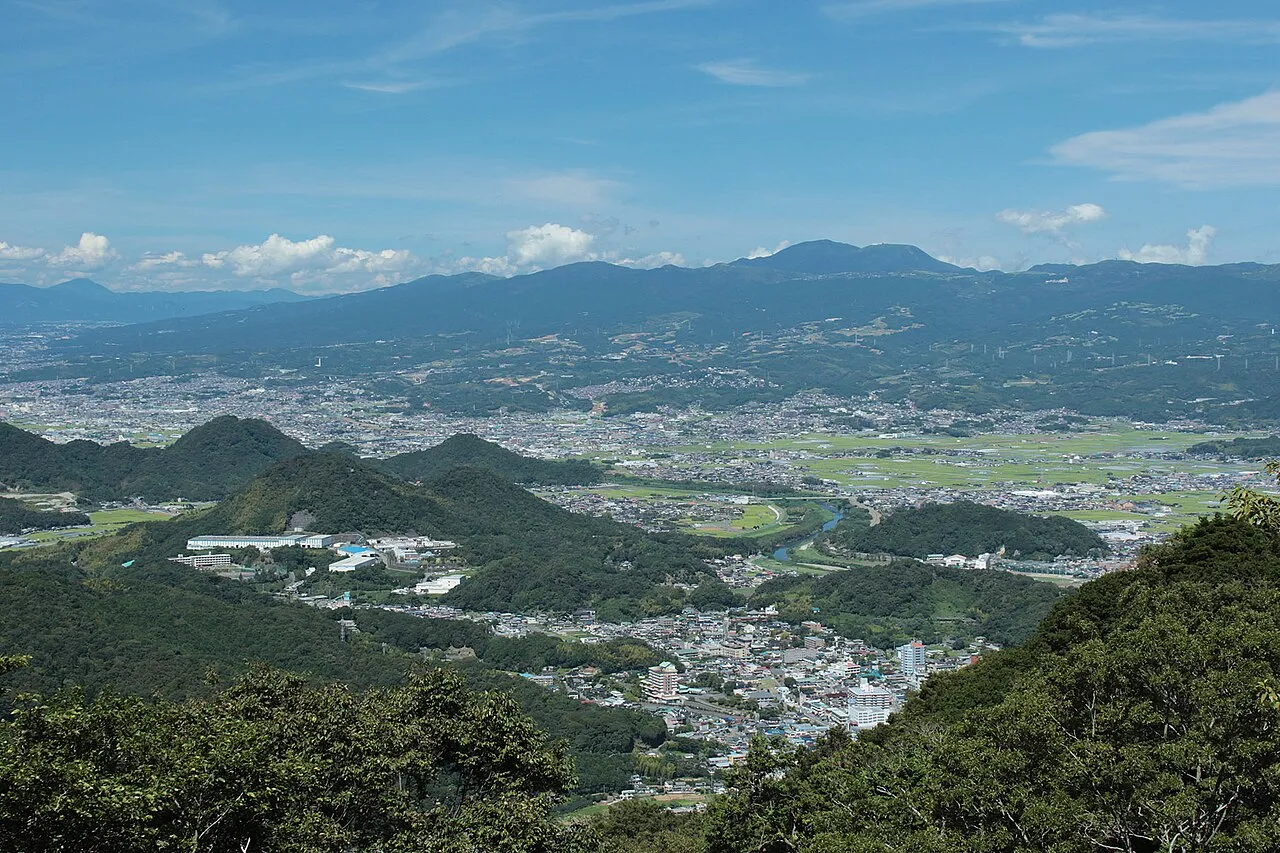
- Population
- 48,579
- 48.6K
- Elevation
- 17 m
- above sea level
- Local time
- UTC+09:00
- Asia/Tokyo · UTC+09:00
- Airports
- OIM Oshima Airport47 km
- FSZ Mount Fuji Shizuoka Airport75 km
About Izunokuni
Izunokuni is a city. Location: Izunokuni-shi, Shizuoka. Population: 48,579. Elevation: 17 m.
Izunokuni (伊豆の国市, Izunokuni-shi; Japanese pronunciation: [ì.(d͡)zɨ́.nó̞.kɯ̈́.ɲ̟í(.ɕì)]) is a city located in Shizuoka Prefecture, Japan. As of 10 July 2019, the city had an estimated population of 48,579 in 21,257 households and a population density of 506 persons per km2. The total area of the city is 94.62 square kilometres (36.53 sq mi).
Source: Wikipedia · CC BY-SA 4.0
Photos of Izunokuni
-

pcs34560 · Public domain -

ブルーノ · CC BY-SA 4.0 -

Katorisi · CC BY-SA 4.0 -

Katorisi · CC BY-SA 4.0 -
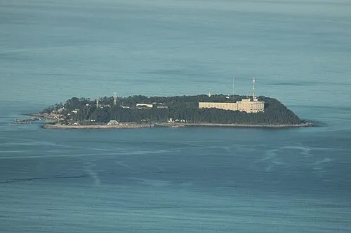
Hatsu-shima Batholith · Public domain


Travel notes for Izunokuni
From Wikivoyage
Izunokuni (伊豆の国) is a city in Shizuoka.
Understand+
Tourist information site:
The local tourist association has a Japanese-only guide site with integrated Google Translate.
Get in+
Izunokuni is the city by merger of 3 towns, Nirayama, Izu-Nagaoka, and Ohito.
This city is located on the Izu-Hakone Line and has some railway stations. The base station of the city center is Izu-Nagaoka (伊豆長岡).
Izu-Hakone Line is linking on Mishima on the JR Tokaido Line.If you are coming from Tokyo, you can also get here by taking Tokkyu Odoriko Express train. The express train stops at Izu-Nagaoka station.
Source: Wikivoyage · CC BY-SA 4.0 · abridged
Places bordering Izunokuni
- Atami
- Izu
- Itō
- Numazu
- Kannami Chō
Population of Izunokuni over time
| 2010 | 49,269 | |
|---|---|---|
| 2015 | 48,152 | |
| 2021 | 46,212 |
Censuses and official estimates; source: Wikidata.
Climate of Izunokuni
Best months for sightseeingBest months for sightseeing: May–June, October–November.
This month · November
A good month to visit
Day 18° · Night 9° · Rain 106 mm
- Hottest month
- August (day 31°)
- Coldest month
- January (night 1°)
- Wettest month
- June (240 mm)
- Driest month
- December (60 mm)
Bars: average monthly low and high temperature. Below: precipitation. Monthly averages for 1970–2000 at about 18 km resolution, adjusted for elevation. Highlighted months are mild and relatively dry. Source: WorldClim 2.1 (CC BY 4.0).
Show values as a table
| Month | Jan | Feb | Mar | Apr | May | Jun | Jul | Aug | Sep | Oct | Nov | Dec |
|---|---|---|---|---|---|---|---|---|---|---|---|---|
| Average high (°C) | 11° | 12° | 14° | 19° | 23° | 26° | 29° | 31° | 27° | 22° | 18° | 14° |
| Average low (°C) | 1° | 2° | 5° | 10° | 14° | 18° | 22° | 23° | 20° | 14° | 9° | 4° |
| Precipitation (mm) | 65 | 83 | 142 | 162 | 165 | 240 | 194 | 222 | 225 | 162 | 106 | 60 |
Other places to visit in this season: May June October November
How to get to Izunokuni
The nearest airport is Oshima Airport (OIM), 47 km to the southeast as the crow flies. For international flights: Mount Fuji Shizuoka Airport (FSZ) (75 km). The nearest large city is Mishima, 9 km to the north.
Airports
- Oshima Airport (OIM) Izu Oshima 47 kmsoutheast
- Mount Fuji Shizuoka Airport (FSZ) Makinohara / Shimada 75 kmwest
- Tokyo Haneda International Airport (HND) Tokyo 95 kmnortheast
Nearby large cities
- Mishima Population: 107.9K 9 kmnorth
- Numazu Population: 189.5K 10 kmnorthwest
- Fuji Population: 245.4K 28 kmnorthwest
- Odawara Population: 188.9K 31 kmnortheast
- Fujinomiya Population: 132.5K 36 kmnorthwest
Straight-line distances; road distances are longer. Airport data: OurAirports.
Day trips from Izunokuni
Within 100 km: 26 historic and cultural sites, 46 natural sites, 39 lakes, rivers and coasts.
0–25 km7 places
- Hatsu-shima Island 20 kmE
- Mount Ashitaka Mountain 22 kmNW
- Banzaburō Dake Mountain 20 kmS
- Hakone Yama Mountain 23 kmN
25–60 km34 places
- Ō Shima Island 53 kmSE
- Enoshima Island 56 kmNE
- Lake Shoji Lake 59 kmNW
- Mount Echizen-dake Mountain 26 kmNW
60–100 km70 places
- Nii-jima Island 79 kmS
- Kōzu Shima Island 93 kmS
- Shikine-jima Island 83 kmS
- Jōga Shima Island 62 kmE
Straight-line distances.
Nearby attractions & nature
Everything nearby-
Kano River River, Shizuoka9.8 km NW
-
 Banzaburō Dake Mountain, Izu-shi20 km S
-
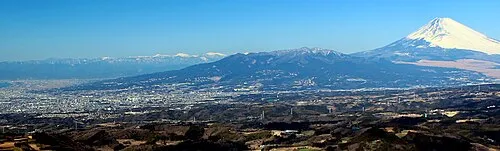 Mount Ashitaka Mountain, Numazu-shi22 km NW
-
 Izu Hantō Natural site, Shizuoka20 km S
-
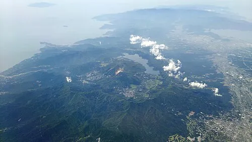 Hakone Yama Mountain, Japan23 km N
-
Nangō San Mountain, Yugawara Machi21 km NE
-
Hatsu-shima Island, Shizuoka20 km E
Sources & licences
Data last updated: · 2 independent sources