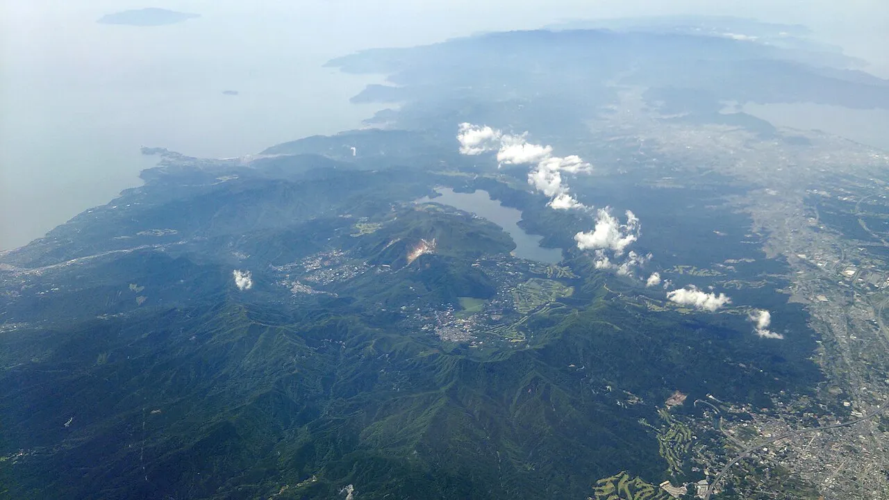
- Elevation
- 1,004 m
- above sea level
- Local time
- UTC+09:00
- Asia/Tokyo · UTC+09:00
- Airports
- OIM Oshima Airport58 km
- HND Tokyo Haneda International Airport77 km
About Hakone Yama
Hakone Yama is a mountain. Location: Japan. Elevation: 1,004 m.
Mount Hakone (箱根山, Hakoneyama), with its highest peak Mount Kami (1,438 meters), is a complex volcano in Kanagawa Prefecture, Japan that is truncated by two overlapping calderas, the largest of which is 10 × 11 km wide. The calderas were formed as a result of two major explosive eruptions about 180,000 and 49,000–60,000 years ago. Lake Ashi lies between the southwestern caldera wall and a half dozen post-caldera lava domes that arose along a southwest–northeastern trend cutting through the center of the calderas.
Read more on Wikipedia Text: Wikipedia contributors · CC BY-SA 4.0 · shortened
Climate of Hakone Yama
Best months for sightseeingBest months for sightseeing: July–September.
Bars: average monthly low and high temperature. Below: precipitation. Monthly averages for 1970–2000 at about 18 km resolution, adjusted for elevation. Highlighted months are mild and relatively dry. Source: WorldClim 2.1 (CC BY 4.0).
Show values as a table
| Month | Jan | Feb | Mar | Apr | May | Jun | Jul | Aug | Sep | Oct | Nov | Dec |
|---|---|---|---|---|---|---|---|---|---|---|---|---|
| Average high (°C) | 5° | 5° | 8° | 13° | 17° | 19° | 23° | 25° | 21° | 16° | 12° | 8° |
| Average low (°C) | -4° | -4° | -2° | 4° | 8° | 12° | 16° | 17° | 14° | 9° | 3° | -2° |
| Precipitation (mm) | 58 | 72 | 123 | 141 | 156 | 222 | 175 | 232 | 232 | 179 | 98 | 52 |
Airports nearest to Hakone Yama
- Oshima Airport (OIM) Izu Oshima 58 km
- Tokyo Haneda International Airport (HND) Tokyo 77 km
- Mount Fuji Shizuoka Airport (FSZ) Makinohara / Shimada 91 km
Straight-line distance; airports with scheduled flights only. Source: OurAirports (public domain).
Nearest towns and villages
-
Hakone-machi Municipality, Ashigarashimo-gun0.2 km SW
-
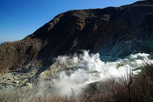 Hakone Town, Hakone-machi4.9 km S
-
Yugawara Machi Municipality, Ashigarashimo-gun8.5 km SE
-
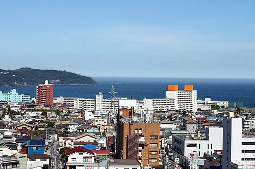 Yugawara Town, Yugawara Machi9.7 km S
-
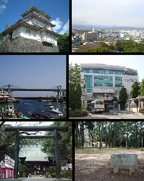 Odawara City, Odawara-shi12 km E
-
Minamiashigara City, Minamiashigara12 km NE
Nearby attractions & nature
Everything nearby-
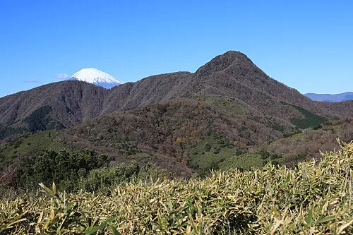 Kintoki Zan Mountain, Hakone-machi6.8 km N
-
Nangō San Mountain, Yugawara Machi9 km SE
-
Tama Gawa River, Kanagawa9.9 km E
-
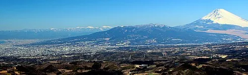 Mount Ashitaka Mountain, Numazu-shi21 km W
-
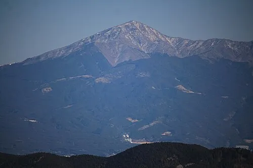 Mount Echizen-dake Mountain, Fuji Shi22 km W
-
Lake Yamanaka Lake, Yamanashi25 km NW
-
Sakawa River River, Kanagawa14 km E
-
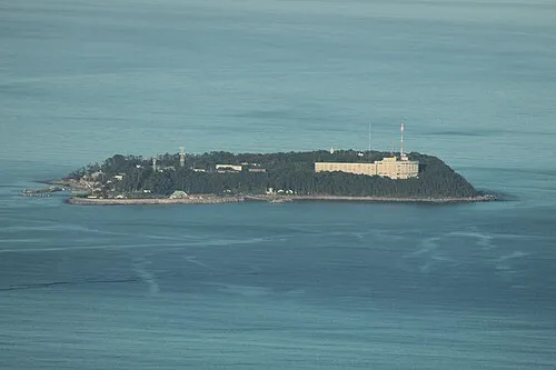 Hatsu-shima Island, Shizuoka25 km SE
More nature in Japan
-
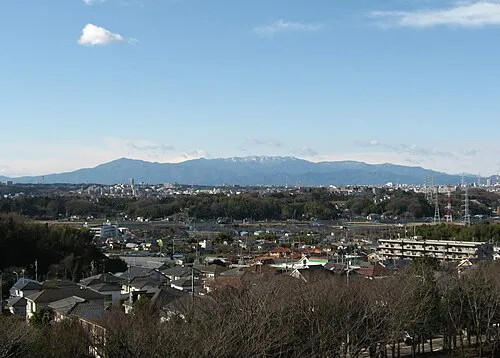 Tanzawa Sanchi Mountain, Kanagawa27 km N
-
Mount Tō Mountain, Ashigarakami-gun27 km NE
-
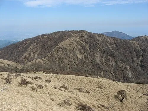 Mount Tanzawa Mountain, Ashigarakami-gun29 km NE
-
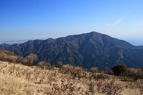 Ō Yama Mountain, Isehara29 km NE
-
Mount Shindainichi Mountain, Kiyokawa Mura28 km NE
-
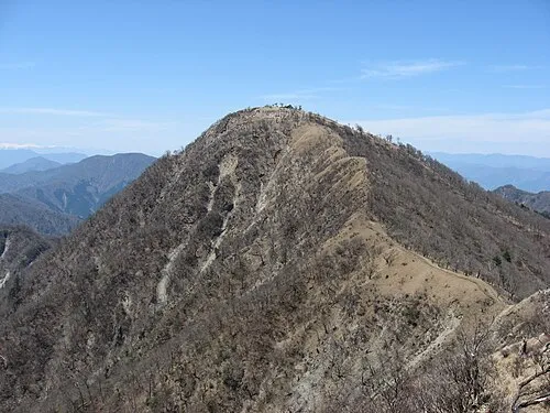 Mount Hiru Mountain, Midori-ku30 km N
Sources & licences
Data last updated: · 2 independent sources