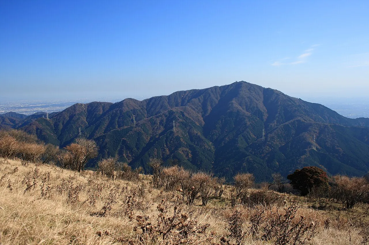
- Elevation
- 1,245 m
- above sea level
- Local time
- UTC+09:00
- Asia/Tokyo · UTC+09:00
- Airports
- HND Tokyo Haneda International Airport52 km
- OIM Oshima Airport74 km
About Ō Yama
Ō Yama is a mountain. Location: Isehara, Kanagawa. Elevation: 1,245 m.
Mount Ōyama (大山, Ō-yama), also Mount Afuri (阿夫利山 or 雨降り山, Afuri-yama) or Mount Kunimi (Kunimi-yama), is a 1,252-metre-high (4,108 ft) mountain situated on the border of Isehara, Hadano and Atsugi in Kanagawa Prefecture, Japan. Together with Mount Tanzawa and other mountains in the Tanzawa Mountains it forms the Tanzawa-Ōyama Quasi-National Park. Mount Ōyama is a popular sightseeing spot in Kanagawa Prefecture.
Source: Wikipedia · CC BY-SA 4.0
At a glance
- Topographic prominence
- 491 m
Source: Wikidata
Climate of Ō Yama
Best months for sightseeingBest months for sightseeing: July–August.
This month · November
A cold month
Day 10° · Night 1° · Rain 93 mm
Better nearby cities in November
- Isehara · 8 km southeast18°
- Odawara · 22 km south19°
- Mishima · 46 km southwest18°
- Hottest month
- August (day 23°)
- Coldest month
- January (night -7°)
- Wettest month
- September (222 mm)
- Driest month
- December (49 mm)
Bars: average monthly low and high temperature. Below: precipitation. Monthly averages for 1970–2000 at about 18 km resolution, adjusted for elevation. Highlighted months are mild and relatively dry. Source: WorldClim 2.1 (CC BY 4.0).
Show values as a table
| Month | Jan | Feb | Mar | Apr | May | Jun | Jul | Aug | Sep | Oct | Nov | Dec |
|---|---|---|---|---|---|---|---|---|---|---|---|---|
| Average high (°C) | 3° | 3° | 6° | 11° | 16° | 18° | 21° | 23° | 19° | 14° | 10° | 6° |
| Average low (°C) | -7° | -7° | -4° | 2° | 6° | 10° | 14° | 15° | 12° | 6° | 1° | -5° |
| Precipitation (mm) | 52 | 65 | 113 | 131 | 152 | 214 | 166 | 213 | 222 | 180 | 93 | 49 |
How to get to Ō Yama
The nearest airport is Tokyo Haneda International Airport (HND), 52 km to the east as the crow flies. The nearest large city is Hadano, 8 km to the south.
Airports
- Tokyo Haneda International Airport (HND) Tokyo 52 kmeast
- Oshima Airport (OIM) Izu Oshima 74 kmsouth
- Narita International Airport (NRT) Narita 111 kmeast
Nearby large cities
- Hadano Population: 163.8K 8 kmsouth
- Isehara Population: 103.4K 8 kmsoutheast
- Atsugi Population: 224K 12 kmeast
- Zama Population: 132.3K 15 kmeast
- Hiratsuka Population: 258.4K 16 kmsoutheast
Straight-line distances; road distances are longer. Airport data: OurAirports.
Nearest towns and villages
-
Kiyokawa Mura Municipality, Aikō-gun5.2 km N
-
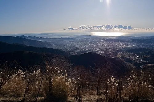 Hadano City, Hadano-shi7.7 km S
-
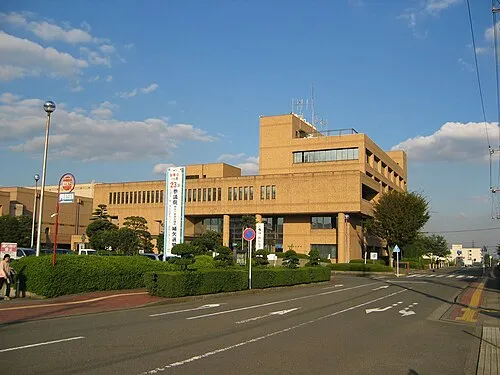 Isehara City, Isehara8.5 km SE
-
Ōyama Village, Isehara3.1 km SE
-
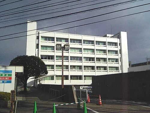 Atsugi City, Atsugi12 km E
-
Aikawa Machi Municipality, Aikō-gun12 km NE
Nearby attractions & nature
Everything nearby-
Mount Shindainichi Mountain, Kiyokawa Mura5.1 km W
-
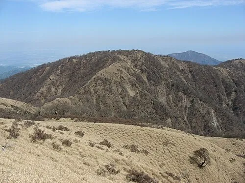 Mount Tanzawa Mountain, Ashigarakami-gun7.3 km NW
-
Mount Tō Mountain, Ashigarakami-gun6.4 km W
-
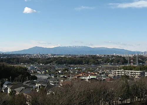 Tanzawa Sanchi Mountain, Kanagawa9.4 km W
-
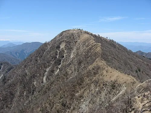 Mount Hiru Mountain, Midori-ku9.8 km NW
-
Mount Kōbō Mountain, Hadano-shi7.5 km S
-
Tanzawa Ōyama Kokutei Kōen Natural site, Ashigarakami-gun9.4 km W
-
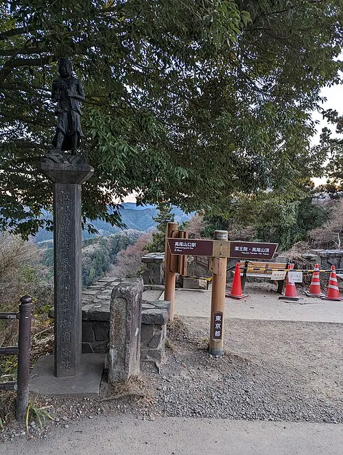 Mount Takao Mountain, Hachiōji20 km N
Sources & licences
Data last updated: · 2 independent sources