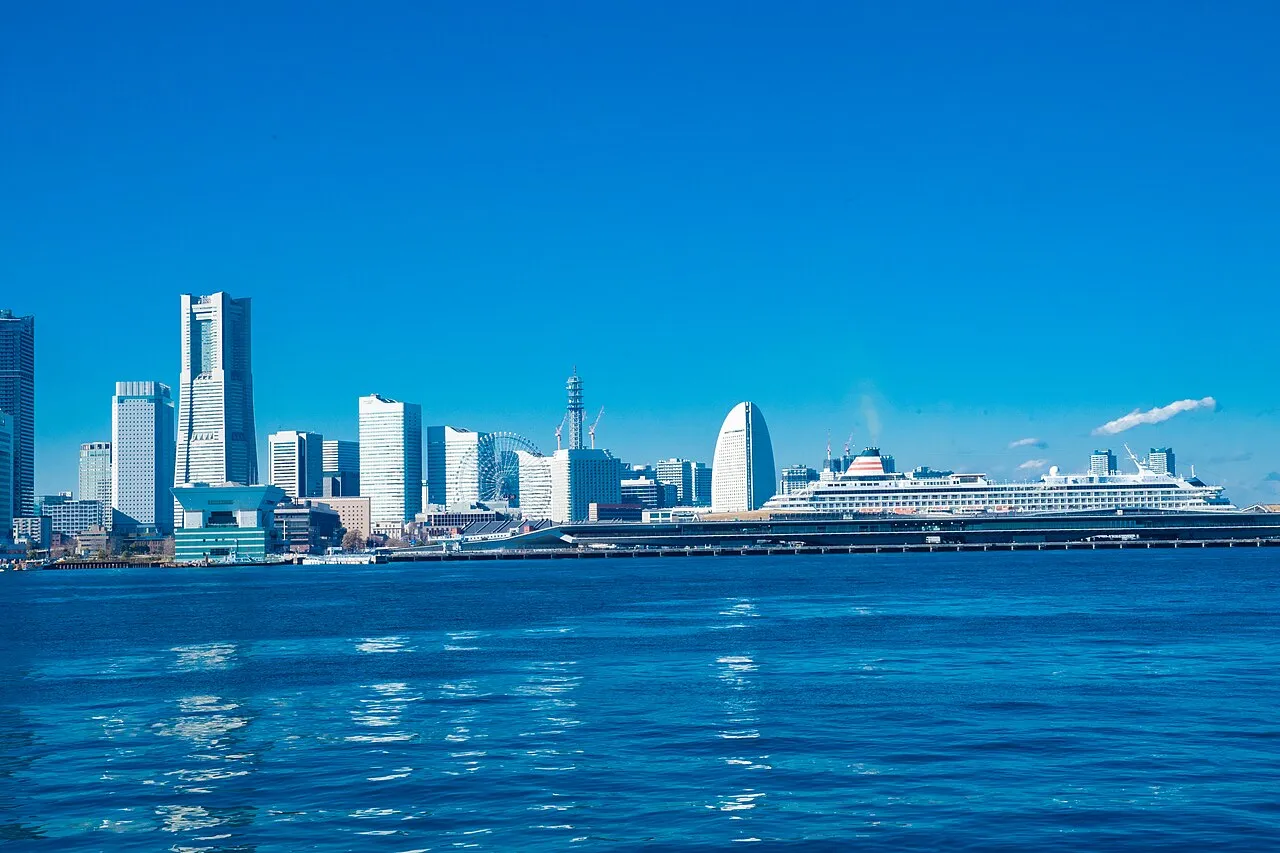
- Population
- 9,097,401
- 9.1M
- Elevation
- 22 m
- above sea level
- Local time
- UTC+09:00
- Asia/Tokyo · UTC+09:00
- Places inside
- 42
- listed under Kanagawa
- Airports
- HND Tokyo Haneda International Airport44 km
- OIM Oshima Airport70 km
About Kanagawa
Kanagawa is a region. Location: Japan. Population: 9,097,401.
Kanagawa Prefecture (神奈川県, Kanagawa-ken; Japanese pronunciation: [kä̀.nä́.ɡä̀.β̞ä̀, -ŋä̀.β̞ä̀, -ɡä́.β̞ä́, -ŋä́.β̞ä́, -ɡä́.β̞ä́.kè̞ɴ, -ŋä́.β̞ä́-]) is a prefecture of Japan located in the Kantō region of Honshu. Kanagawa Prefecture is the second-most populous prefecture of Japan at 9,221,129 (1 April 2022) and third-densest at 3,800 inhabitants per square kilometre (9,800/sq mi). Its geographic area of 2,415 km2 (932 sq mi) makes it fifth-smallest.
Read more on Wikipedia Text: Wikipedia contributors · CC BY-SA 4.0 · shortened
Places bordering Kanagawa
Twin towns and sister cities of Kanagawa
- Maryland· United States
- Baden-Wurttemberg· Germany
- Västra Götaland County· Sweden
- Toyama· Japan
Source: Wikidata. Only places with a page on this site are shown.
Population of Kanagawa over time
| 2005 | 8,791,587 | |
|---|---|---|
| 2010 | 9,048,331 | |
| 2020 | 9,216,009 |
Censuses and official estimates; source: Wikidata.
Climate of Kanagawa
Best months for sightseeingBest months for sightseeing: April–June, October–November.
Bars: average monthly low and high temperature. Below: precipitation. Monthly averages for 1970–2000 at about 18 km resolution, adjusted for elevation. Highlighted months are mild and relatively dry. Source: WorldClim 2.1 (CC BY 4.0).
Show values as a table
| Month | Jan | Feb | Mar | Apr | May | Jun | Jul | Aug | Sep | Oct | Nov | Dec |
|---|---|---|---|---|---|---|---|---|---|---|---|---|
| Average high (°C) | 11° | 11° | 14° | 19° | 24° | 26° | 29° | 31° | 27° | 22° | 18° | 14° |
| Average low (°C) | 1° | 1° | 4° | 10° | 14° | 18° | 22° | 23° | 20° | 14° | 9° | 3° |
| Precipitation (mm) | 52 | 65 | 113 | 131 | 152 | 214 | 166 | 213 | 222 | 180 | 93 | 49 |
Other places to visit in this season: April May June October November
Airports nearest to Kanagawa
- Tokyo Haneda International Airport (HND) Tokyo 44 km
- Oshima Airport (OIM) Izu Oshima 70 km
- Narita International Airport (NRT) Narita 103 km
Straight-line distance; airports with scheduled flights only. Source: OurAirports (public domain).
Places in Kanagawa
42 places- 1 Yokohama 3.8M
- 2 Sagamihara-shi 720.8K
- 3 Fujisawa 421.3K
- 4 Yokosuka 421K
- 5 Hiratsuka 259.2K
- 6 Chigasaki 239.8K
- 7 Yamato-shi 233K
- 8 Atsugi 225.2K
- 9 Odawara-shi 196.5K
- 10 Kamakura 177.7K
- 11 Hadano-shi 165K
- 12 Ebina 136.3K
- 13 Zama Shi 130.3K
- 14 Isehara 99.4K
- 15 Ayase 85.3K
- 16 Zushi 60.3K
- 17 Miura 47.2K
- 18 Minamiashigara 44.2K
- 19 Jōga Shima 579
- 20 Enoshima 354
Bar: population relative to the most populous place in this list.
-
Sarushima Island
-
Aikō-gun District
-
Ashigarakami-gun District
-
Ashigarashimo-gun District
-
Hikiji River River
-
Kashio River River
-
Kawasaki District
-
Kōza-gun District
-
Miura-gun District
-
Miura Hantō Natural site
-
Naka-gun District
-
Nameri Kawa River
-
Negishi Bay Natural site
-
Ōoka River River
-
Sagami-ko Lake
-
Sakai Gawa River
-
Sakawa River River
-
Tama Gawa River
-
Tanzawa Sanchi Mountain
-
Tokyo Bay Natural site
-
Tsurumi River River
-
Yokohama Bay Bridge Landmark
Largest cities and towns
-
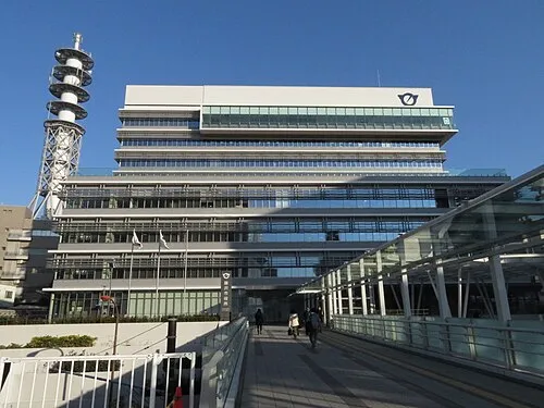 Fujisawa City, Fujisawa439.7K
-
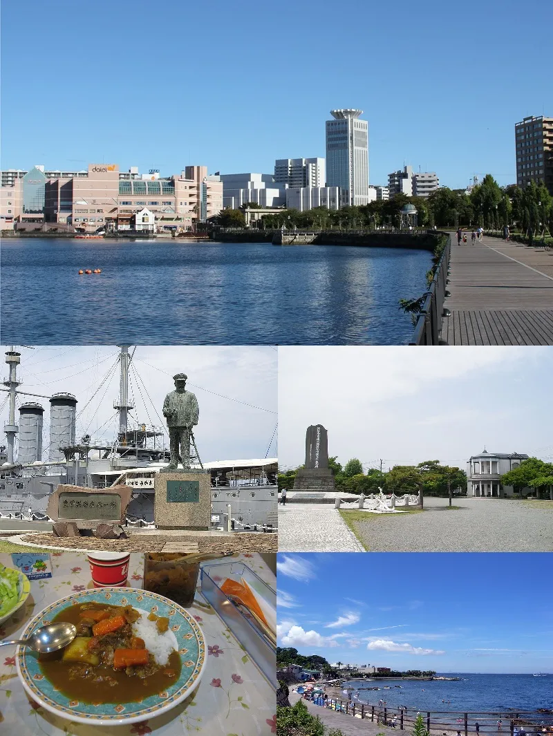 Yokosuka City, Yokosuka409.5K
-
Kōhoku-ku Municipality, Yokohama356.4K
-
Naka Ku Municipality, Yokohama151.2K
-
Tsurumi Ku Municipality, Yokohama293.7K
-
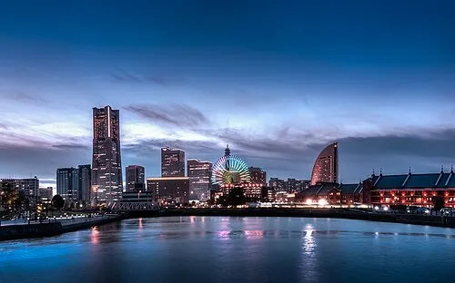 Yokohama City, Yokohama3.8M
-
Tama Ku Municipality, Kawasaki221.8K
-
Kawasaki Ku Municipality, Kawasaki233.4K
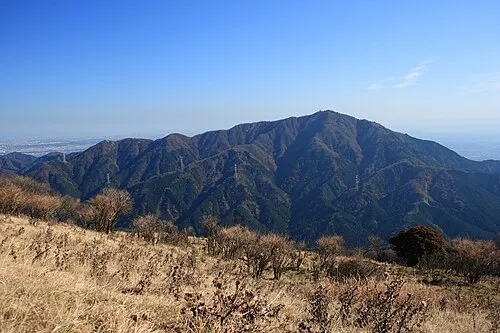
Nature and heritage in Kanagawa

Sources & licences
Data last updated: · 2 independent sources