Kōtoku In
Local name: 高徳院
Located in Kamakura, Kanagawa Coordinates: 35°19′00″ N 139°32′10″ E
- Local time
- UTC+09:00
- Asia/Tokyo · UTC+09:00
- Elevation
- 19 m
- above sea level
- Airports
- HND Tokyo Haneda International Airport34 km
- OIM Oshima Airport61 km
About Kōtoku In
Kōtoku In is a tourist attraction. Location: Kamakura, Kanagawa.
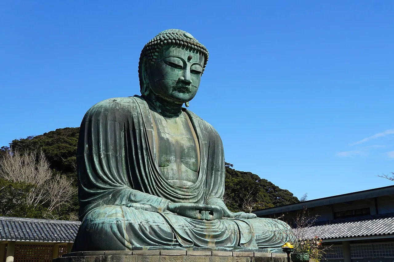
Kōtoku-in (高徳院) is a Buddhist temple of the Jōdo-shū sect in the city of Kamakura in Kanagawa Prefecture, Japan. Its mountain name is Daii-zan (大異山), and its common temple name is Shōjōsen-ji (清浄泉寺). The temple is renowned for The Great Buddha of Kamakura (鎌倉大仏, Kamakura Daibutsu), a monumental outdoor bronze statue of Amitābha, which is one of the most famous icons of Japan.
Source: Wikipedia · CC BY-SA 4.0
At a glance
- Built
- 1252
- Heritage designation
- Historic Site of Japan, National Treasure of Japan
- Official website
- kotoku-in.jp
Source: Wikidata
Climate of Kōtoku In
Best months for sightseeingBest months for sightseeing: May–June, September–October.
This month · November
A wet month
Day 17° · Night 9° · Rain 120 mm
Better nearby cities in November
- Isehara · 22 km northwest18°
- Odawara · 35 km west19°
- Mishima · 61 km west18°
- Hottest month
- August (day 30°)
- Coldest month
- January (night 2°)
- Wettest month
- June (224 mm)
- Driest month
- December (59 mm)
Bars: average monthly low and high temperature. Below: precipitation. Monthly averages for 1970–2000 at about 18 km resolution, adjusted for elevation. Highlighted months are mild and relatively dry. Source: WorldClim 2.1 (CC BY 4.0).
Show values as a table
| Month | Jan | Feb | Mar | Apr | May | Jun | Jul | Aug | Sep | Oct | Nov | Dec |
|---|---|---|---|---|---|---|---|---|---|---|---|---|
| Average high (°C) | 10° | 10° | 13° | 18° | 22° | 24° | 28° | 30° | 26° | 21° | 17° | 13° |
| Average low (°C) | 2° | 2° | 5° | 10° | 14° | 18° | 22° | 23° | 20° | 14° | 9° | 4° |
| Precipitation (mm) | 65 | 83 | 142 | 153 | 165 | 224 | 158 | 166 | 219 | 205 | 120 | 59 |
Other places to visit in this season: May June September October
How to get to Kōtoku In
The nearest airport is Tokyo Haneda International Airport (HND), 34 km to the northeast as the crow flies. The nearest large city is Kamakura, 1 km to the southeast.
Airports
- Tokyo Haneda International Airport (HND) Tokyo 34 kmnortheast
- Oshima Airport (OIM) Izu Oshima 61 kmsouth
- Narita International Airport (NRT) Narita 92 kmnortheast
Nearby large cities
- Kamakura Population: 172.9K 1 kmsoutheast
- Fujisawa Population: 439.7K 7 kmnorthwest
- Chigasaki Population: 242.8K 12 kmwest
- Yokosuka Population: 409.5K 12 kmeast
- Yokohama Population: 3.8M 17 kmnortheast
Straight-line distances; road distances are longer. Airport data: OurAirports.
Nearby attractions & nature
Everything nearby-
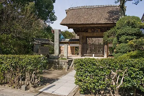 Gokuraku Ji Attraction, Kamakura1 km SW
-
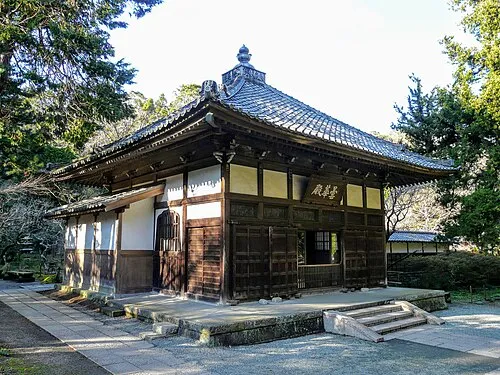 Jōchi Ji Attraction, Kamakura2.1 km NE
-
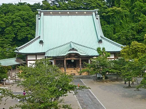 Kōmyō Ji Attraction, Kamakura2.2 km SE
-
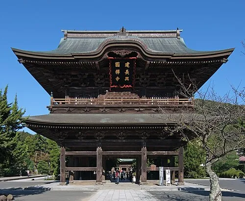 Kenchō Ji Attraction, Kamakura2.4 km NE
-
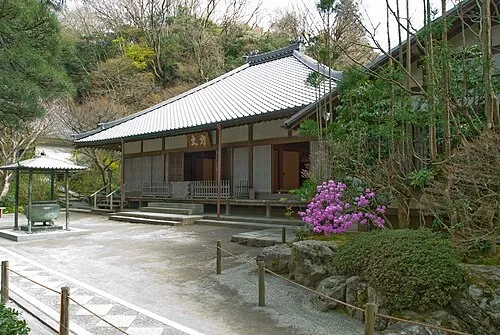 Meigetsu In Attraction, Kamakura2.5 km NE
-
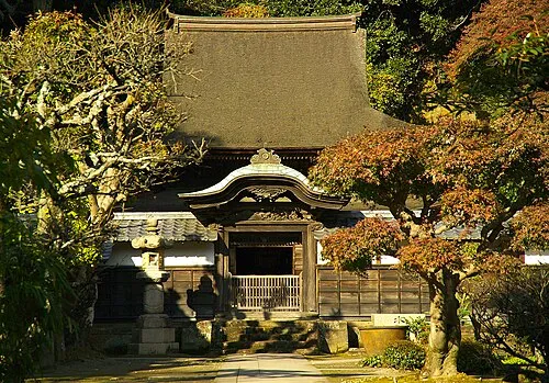 Engaku Ji Attraction, Kamakura2.6 km NE
-
Nameri Kawa River, Kanagawa1.2 km SE
-
Jōmyō Ji Attraction, Kamakura3.3 km E
Nearest towns and villages
Sources & licences
Data last updated: · 2 independent sources