- Elevation
- 7 m
- above sea level
- Local time
- UTC+09:00
- Asia/Tokyo · UTC+09:00
- Airports
- HND Tokyo Haneda International Airport35 km
- OIM Oshima Airport61 km
About Nameri Kawa
Nameri Kawa is a river. Location: Kanagawa, Japan.
The Nameri River (滑川, Nameri-gawa) is a river that goes from the Asaina Pass in northern Kamakura, Kanagawa, Japan, to the beach in Yuigahama, for a total length of about 8 km. Although Yuigahama is in fact the name of the entire 3.2 km beach that goes from Inamuragasaki to Zaimokuza's Iijima cape, the name is usually used just for its half west of the Namerigawa river's estuary, while the eastern half is called Zaimokuza Beach (材木座海岸).
Read more on Wikipedia Text: Wikipedia contributors · CC BY-SA 4.0 · shortened
At a glance
- Length
- 6.3 km
Source: Wikidata
Climate of Nameri Kawa
Best months for sightseeingBest months for sightseeing: May–June, September–October.
Bars: average monthly low and high temperature. Below: precipitation. Monthly averages for 1970–2000 at about 18 km resolution, adjusted for elevation. Highlighted months are mild and relatively dry. Source: WorldClim 2.1 (CC BY 4.0).
Show values as a table
| Month | Jan | Feb | Mar | Apr | May | Jun | Jul | Aug | Sep | Oct | Nov | Dec |
|---|---|---|---|---|---|---|---|---|---|---|---|---|
| Average high (°C) | 10° | 10° | 13° | 18° | 22° | 24° | 28° | 30° | 26° | 21° | 17° | 13° |
| Average low (°C) | 2° | 2° | 5° | 10° | 14° | 18° | 22° | 23° | 20° | 14° | 9° | 4° |
| Precipitation (mm) | 65 | 83 | 142 | 153 | 165 | 224 | 158 | 166 | 219 | 205 | 120 | 59 |
Other places to visit in this season: May June September October
Airports nearest to Nameri Kawa
- Tokyo Haneda International Airport (HND) Tokyo 35 km
- Oshima Airport (OIM) Izu Oshima 61 km
- Narita International Airport (NRT) Narita 92 km
Straight-line distance; airports with scheduled flights only. Source: OurAirports (public domain).
Nearest towns and villages
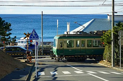
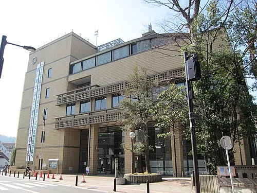
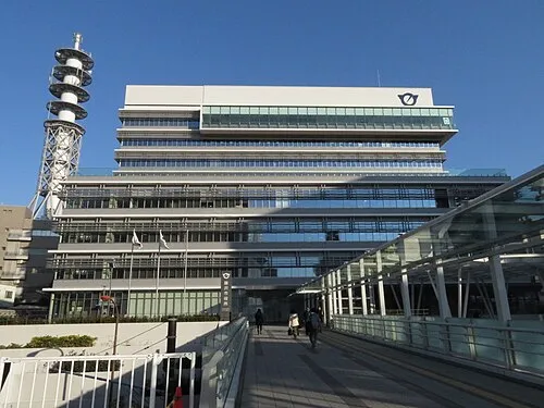
Nearby attractions & nature
Everything nearby-
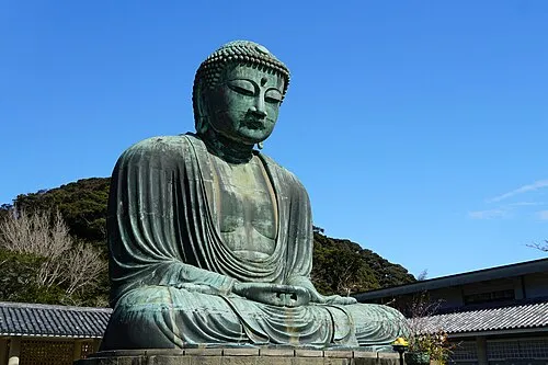 Kōtoku In Attraction, Kamakura1.2 km NW
-
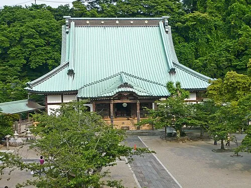 Kōmyō Ji Attraction, Kamakura1.1 km SE
-
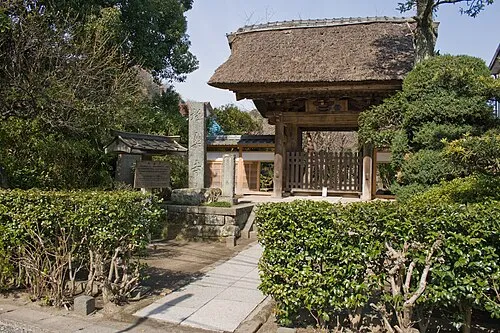 Gokuraku Ji Attraction, Kamakura1.4 km W
-
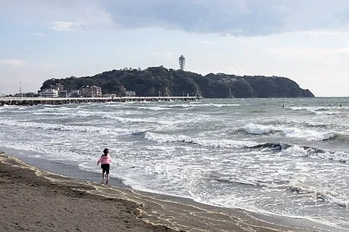 Enoshima Island, Kanagawa5.9 km W
-
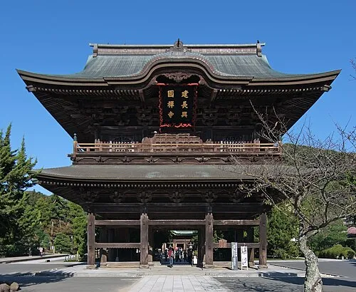 Kenchō Ji Attraction, Kamakura2.8 km N
-
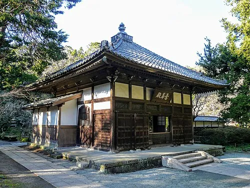 Jōchi Ji Attraction, Kamakura2.8 km N
-
Kashio River River, Kanagawa5.5 km NW
-
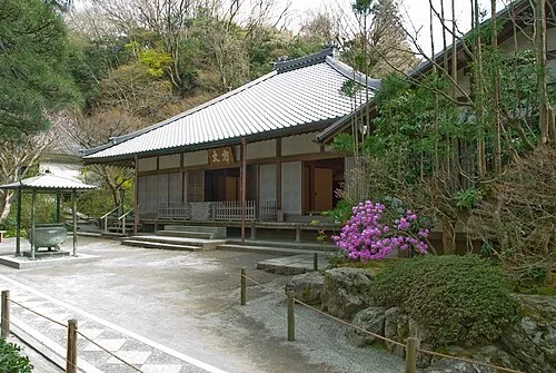 Meigetsu In Attraction, Kamakura3 km N
More lakes, rivers and coasts in Japan
-
Sakai Gawa River, Kanagawa5.7 km W
-
Hikiji River River, Kanagawa6.9 km W
-
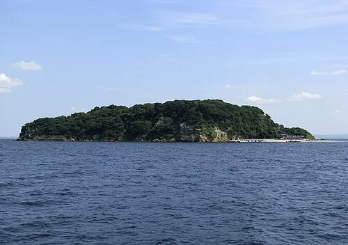 Sarushima Island, Kanagawa14 km E
-
Jōga Shima Island, Kanagawa21 km S
-
Tsurumi River River, Kanagawa23 km NE
-
Ōoka River River, Kanagawa18 km NE
Sources & licences
Data last updated: · 2 independent sources