- Elevation
- 38 m
- above sea level
- Local time
- UTC+09:00
- Asia/Tokyo · UTC+09:00
- Population
- 354
- 354
- Airports
- HND Tokyo Haneda International Airport39 km
- OIM Oshima Airport59 km
About Enoshima
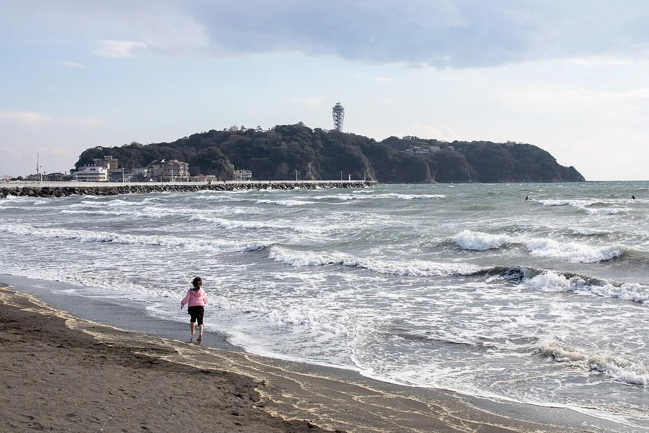
Enoshima is an island. Location: Kanagawa, Japan. Population: 354.
Enoshima (Japanese: 江の島) is a small offshore island, about 4 km (2.5 mi) in circumference, at the mouth of the Katase River which flows into the Sagami Bay of Kanagawa Prefecture, Japan. Administratively, Enoshima is part of the mainland city of Fujisawa, and is linked to the Katase section of that city by a 389-metre-long (1,276 ft) bridge. Home to some of the closest sandy beaches to Tokyo and Yokohama, the island and adjacent coastline are the hub of a local resort area.
Read more on Wikipedia Text: Wikipedia contributors · CC BY-SA 4.0 · shortened
At a glance
- Heritage designation
- Place of Scenic Beauty, Historic Site of Japan
- Length
- 1.2 km
- Area
- 38 ha
Source: Wikidata
Climate of Enoshima
Best months for sightseeingBest months for sightseeing: May–June, September–October.
Bars: average monthly low and high temperature. Below: precipitation. Monthly averages for 1970–2000 at about 18 km resolution, adjusted for elevation. Highlighted months are mild and relatively dry. Source: WorldClim 2.1 (CC BY 4.0).
Show values as a table
| Month | Jan | Feb | Mar | Apr | May | Jun | Jul | Aug | Sep | Oct | Nov | Dec |
|---|---|---|---|---|---|---|---|---|---|---|---|---|
| Average high (°C) | 10° | 11° | 13° | 19° | 23° | 25° | 28° | 30° | 27° | 22° | 17° | 13° |
| Average low (°C) | 1° | 1° | 4° | 9° | 14° | 18° | 21° | 23° | 19° | 14° | 8° | 3° |
| Precipitation (mm) | 62 | 76 | 131 | 145 | 162 | 225 | 168 | 184 | 218 | 192 | 109 | 57 |
Other places to visit in this season: May June September October
Airports nearest to Enoshima
- Tokyo Haneda International Airport (HND) Tokyo 39 km
- Oshima Airport (OIM) Izu Oshima 59 km
- Narita International Airport (NRT) Narita 97 km
Straight-line distance; airports with scheduled flights only. Source: OurAirports (public domain).
Nearest towns and villages
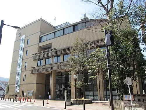
Nearby attractions & nature
Everything nearby-
Sakai Gawa River, Kanagawa0.6 km N
-
Hikiji River River, Kanagawa2 km NW
-
Kashio River River, Kanagawa4.1 km N
-
Ryūkō Ji Attraction, Fujisawa1.5 km NE
-
Nameri Kawa River, Kanagawa5.9 km E
-
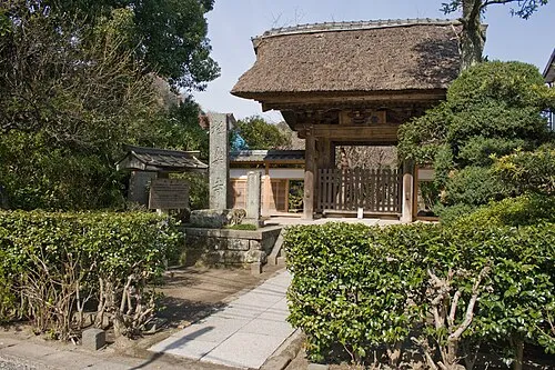 Gokuraku Ji Attraction, Kamakura4.5 km E
-
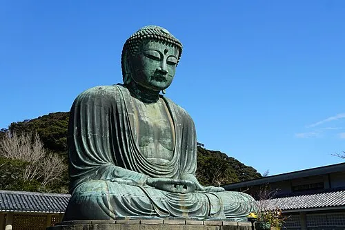 Kōtoku In Attraction, Kamakura5.4 km E
-
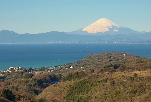 Sagami Bay Natural site, Japan8 km SW
More lakes, rivers and coasts in Japan
-
Jōga Shima Island, Kanagawa22 km SE
-
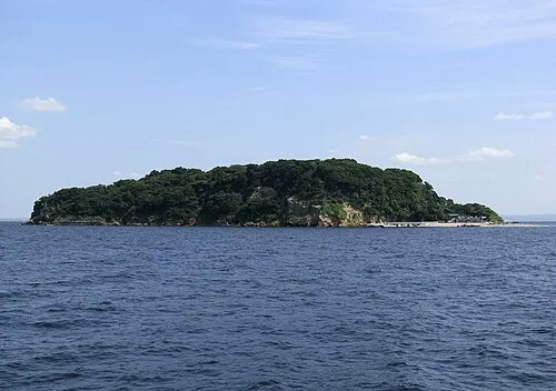 Sarushima Island, Kanagawa20 km E
-
Tsurumi River River, Kanagawa27 km NE
-
Ōoka River River, Kanagawa22 km NE
-
Tama Gawa River, Kanagawa32 km W
-
Sakawa River River, Kanagawa27 km W
Sources & licences
Data last updated: · 2 independent sources