- Elevation
- 16 m
- above sea level
- Local time
- UTC+09:00
- Asia/Tokyo · UTC+09:00
- Population
- 579
- 579
- Airports
- OIM Oshima Airport46 km
- HND Tokyo Haneda International Airport49 km
About Jōga Shima
Jōga Shima is an island. Location: Kanagawa, Japan. Population: 579.
Jōgashima (城ヶ島, Jōgashima) is an island in the municipality of Miura, Kanagawa Prefecture, Japan, off the southernmost tip of Miura Peninsula, facing Sagami Bay. It is home to the Jōgashima Lighthouse, the fourth oldest western style lighthouse to be built in Japan. Jōgashima Park is located on the eastern part of the island. Jōgashima is connected to the mainland by a box-girder bridge since 1959, which was the longest in Asia in 1963.
Read more on Wikipedia Text: Wikipedia contributors · CC BY-SA 4.0 · shortened
At a glance
- Length
- 2 km
- Area
- 99 ha
Source: Wikidata
Climate of Jōga Shima
Best months for sightseeingBest months for sightseeing: May–June, September–October.
Bars: average monthly low and high temperature. Below: precipitation. Monthly averages for 1970–2000 at about 18 km resolution, adjusted for elevation. Highlighted months are mild and relatively dry. Source: WorldClim 2.1 (CC BY 4.0).
Show values as a table
| Month | Jan | Feb | Mar | Apr | May | Jun | Jul | Aug | Sep | Oct | Nov | Dec |
|---|---|---|---|---|---|---|---|---|---|---|---|---|
| Average high (°C) | 11° | 11° | 13° | 18° | 22° | 24° | 28° | 30° | 27° | 22° | 18° | 14° |
| Average low (°C) | 3° | 3° | 5° | 10° | 14° | 18° | 22° | 23° | 20° | 15° | 10° | 5° |
| Precipitation (mm) | 71 | 90 | 150 | 157 | 164 | 225 | 154 | 164 | 220 | 210 | 129 | 63 |
Other places to visit in this season: May June September October
Airports nearest to Jōga Shima
- Oshima Airport (OIM) Izu Oshima 46 km
- Tokyo Haneda International Airport (HND) Tokyo 49 km
- Narita International Airport (NRT) Narita 99 km
Straight-line distance; airports with scheduled flights only. Source: OurAirports (public domain).
Nearest towns and villages
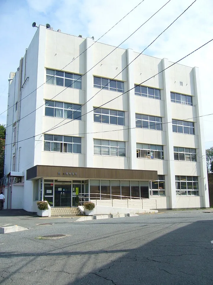
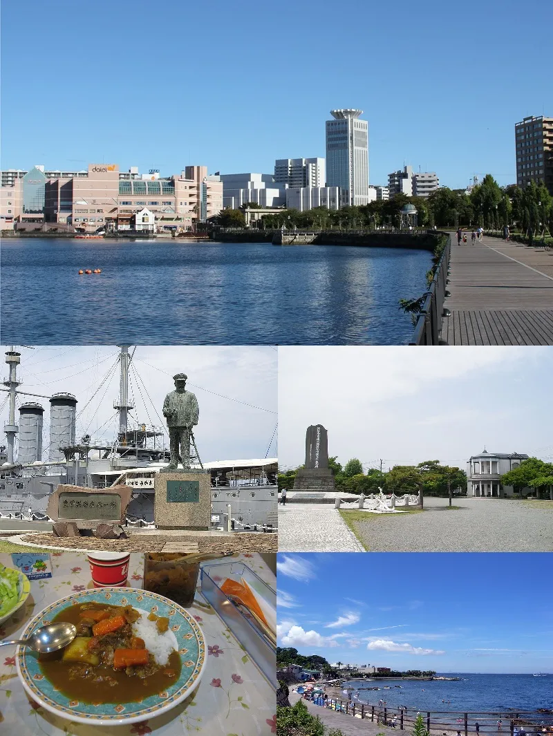
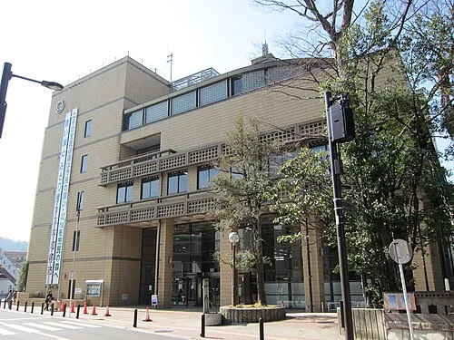
Nearby attractions & nature
Everything nearby-
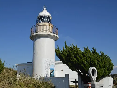 Nagatsuro Saki Lighthouse Landmark, Miura0.7 km W
-
 Miura Hantō Natural site, Kanagawa11 km N
-
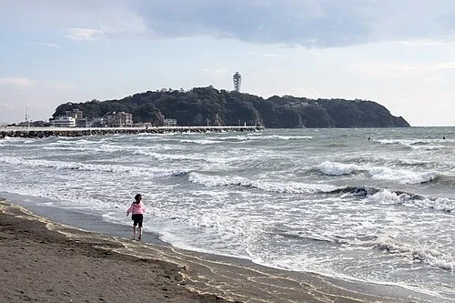 Enoshima Island, Kanagawa22 km NW
-
Nameri Kawa River, Kanagawa21 km N
-
Sakai Gawa River, Kanagawa23 km NW
-
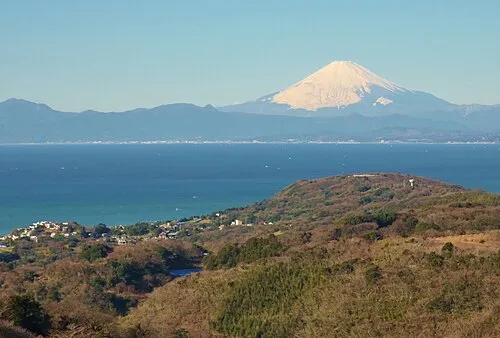 Sagami Bay Natural site, Japan22 km NW
-
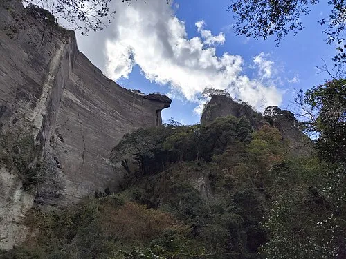 Nokogiri Yama Mountain, Futtsu Shi20 km E
-
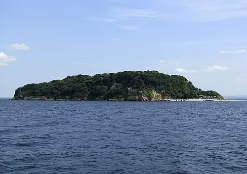 Sarushima Island, Kanagawa18 km N
Sources & licences
Data last updated: · 2 independent sources