Nokogiri Yama
Local name: 鋸山
Located in Futtsu Shi, Chiba Coordinates: 35°09′37″ N 139°50′27″ E
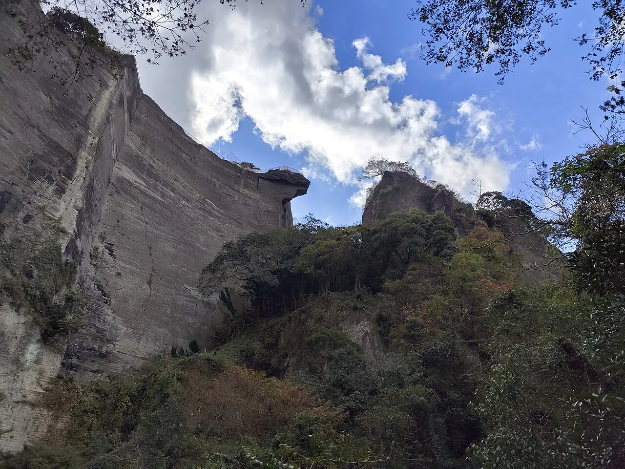
- Elevation
- 330 m
- above sea level
- Local time
- UTC+09:00
- Asia/Tokyo · UTC+09:00
- Airports
- HND Tokyo Haneda International Airport43 km
- OIM Oshima Airport61 km
About Nokogiri Yama
Nokogiri Yama is a mountain. Location: Futtsu Shi, Chiba. Elevation: 330 m.
Mount Nokogiri (鋸山, Nokogiri-yama) literally "saw mountain" is a low mountain on the Bōsō Peninsula on Honshu, Japan. It lies on the southern border of the city of Futtsu and the town Kyonan in Awa District in Chiba Prefecture. The mountain runs east to west, having the characteristic sawtoothed profile of a Japanese saw (鋸, nokogiri). It falls steeply into Tokyo Bay on its western side, where it is pierced by two road tunnels and a rail tunnel, carrying the Uchibo Line south from Futtsu to Tateyama.
Source: Wikipedia · CC BY-SA 4.0
Photos of Nokogiri Yama
-

Mauricio V. Genta · CC BY-SA 4.0 -

Joli Rumi · CC BY-SA 4.0 -

Mauricio V. Genta · CC BY-SA 4.0


Climate of Nokogiri Yama
Best months for sightseeingBest months for sightseeing: May–July, September–October.
This month · November
A wet month
Day 16° · Night 7° · Rain 138 mm
Better nearby cities in November
- Isehara · 55 km northwest18°
- Odawara · 63 km west19°
- Mishima · 84 km west18°
- Hottest month
- August (day 28°)
- Coldest month
- January (night 0°)
- Wettest month
- September (222 mm)
- Driest month
- December (68 mm)
Bars: average monthly low and high temperature. Below: precipitation. Monthly averages for 1970–2000 at about 18 km resolution, adjusted for elevation. Highlighted months are mild and relatively dry. Source: WorldClim 2.1 (CC BY 4.0).
Show values as a table
| Month | Jan | Feb | Mar | Apr | May | Jun | Jul | Aug | Sep | Oct | Nov | Dec |
|---|---|---|---|---|---|---|---|---|---|---|---|---|
| Average high (°C) | 9° | 9° | 11° | 16° | 20° | 22° | 26° | 28° | 25° | 20° | 16° | 11° |
| Average low (°C) | 0° | 0° | 3° | 8° | 12° | 16° | 20° | 21° | 18° | 13° | 7° | 2° |
| Precipitation (mm) | 74 | 95 | 154 | 154 | 157 | 217 | 138 | 152 | 222 | 222 | 138 | 68 |
Other places to visit in this season: May June July September October
How to get to Nokogiri Yama
The nearest airport is Tokyo Haneda International Airport (HND), 43 km to the north as the crow flies. The nearest large city is Yokosuka, 21 km to the northwest.
Airports
- Tokyo Haneda International Airport (HND) Tokyo 43 kmnorth
- Oshima Airport (OIM) Izu Oshima 61 kmsouthwest
- Narita International Airport (NRT) Narita 84 kmnortheast
Nearby large cities
- Yokosuka Population: 409.5K 21 kmnorthwest
- Kisarazu Population: 136.2K 26 kmnorth
- Kamakura Population: 172.9K 32 kmnorthwest
- Yokohama Population: 3.8M 35 kmnorthwest
- Fujisawa Population: 439.7K 39 kmnorthwest
Straight-line distances; road distances are longer. Airport data: OurAirports.
Day trips from Nokogiri Yama
Within 100 km: 49 historic and cultural sites, 34 natural sites, 40 lakes, rivers and coasts.
0–25 km11 places
- Jōga Shima Island 20 kmW
- Mount Ōyama Natural site 24 kmNW
- Koito River River 21 kmN
- Sarushima Island 19 kmNW
25–60 km61 places
- Enoshima Island 36 kmNW
- Mount Kōbō Mountain 59 kmNW
- Obitsu River River 28 kmN
- Tokyo Bay Natural site 29 kmN
60–100 km51 places
- Izu Islands Island 93 kmS
- Ō Shima Island 62 kmSW
- To Shima Island 87 kmSW
- Hatsu-shima Island 63 kmW
Straight-line distances.
Nearest towns and villages
-
Kyonan Machi Municipality, Awa-gun4.2 km SE
-
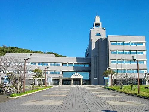 Futtsu City, Futtsu Shi17 km N
-
Kurihama Town, Yokosuka15 km NW
-
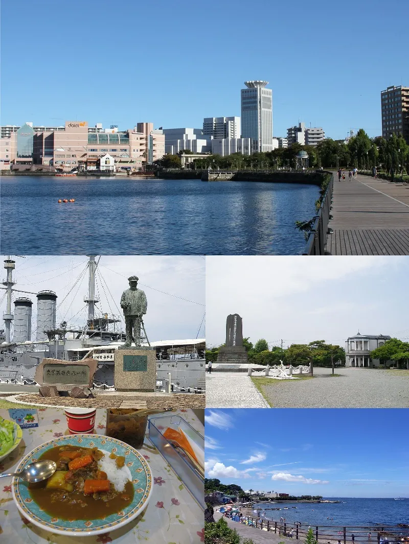 Yokosuka City, Yokosuka21 km NW
-
Minamibōsō City, Minamibōsō Shi16 km SE
-
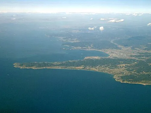 Tateyama City, Tateyama Shi20 km S
Nearby attractions & nature
Everything nearby-
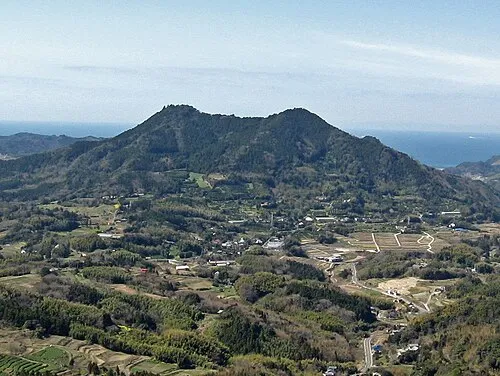 Mount Tomi Mountain, Minamibōsō Shi8.1 km SE
-
Mount Iyogatake Mountain, Minamibōsō Shi8.9 km SE
-
Ai River River, Chiba6.8 km NE
-
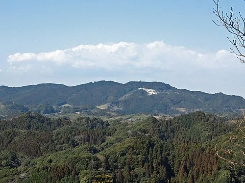 Mount Atago Mountain, Minamibōsō Shi14 km E
-
 Miura Hantō Natural site, Kanagawa19 km NW
-
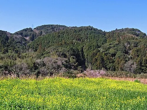 Karasuba Yama Mountain, Minamibōsō Shi19 km SE
-
Mount Ōyama Natural site, Yokosuka24 km NW
-
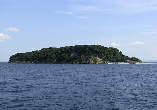 Sarushima Island, Kanagawa19 km NW
Sources & licences
Data last updated: · 2 independent sources