- Population
- 6,278,060
- 6.3M
- Elevation
- 11 m
- above sea level
- Local time
- UTC+09:00
- Asia/Tokyo · UTC+09:00
- Places inside
- 51
- listed under Chiba
- Airports
- NRT Narita International Airport30 km
- HND Tokyo Haneda International Airport31 km
About Chiba
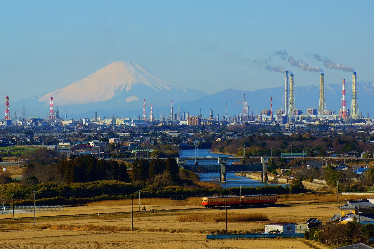
Chiba is a region. Location: Japan. Population: 6,278,060.
Chiba Prefecture (千葉県, Chiba-ken; Japanese pronunciation: [c̟͡ɕí.bä̀, c̟͡ɕì.bä́(.kè̞ɴ̀)]) is a prefecture of Japan located in the Kantō region of Honshu. Chiba Prefecture has a population of 6,278,060 (1 June 2019) and has a geographic area of 5,157 km2 (1,991 sq mi). Chiba Prefecture borders Ibaraki Prefecture to the north, Saitama Prefecture to the northwest, and Tokyo to the west.
Read more on Wikipedia Text: Wikipedia contributors · CC BY-SA 4.0 · shortened
Places bordering Chiba
Twin towns and sister cities of Chiba
- Wisconsin· United States
Source: Wikidata. Only places with a page on this site are shown.
Climate of Chiba
Best months for sightseeingBest months for sightseeing: May–June, October.
Bars: average monthly low and high temperature. Below: precipitation. Monthly averages for 1970–2000 at about 18 km resolution, adjusted for elevation. Highlighted months are mild and relatively dry. Source: WorldClim 2.1 (CC BY 4.0).
Show values as a table
| Month | Jan | Feb | Mar | Apr | May | Jun | Jul | Aug | Sep | Oct | Nov | Dec |
|---|---|---|---|---|---|---|---|---|---|---|---|---|
| Average high (°C) | 10° | 10° | 13° | 18° | 22° | 25° | 28° | 30° | 26° | 22° | 17° | 12° |
| Average low (°C) | 1° | 1° | 4° | 10° | 14° | 18° | 22° | 23° | 20° | 14° | 8° | 3° |
| Precipitation (mm) | 51 | 70 | 106 | 120 | 114 | 160 | 118 | 128 | 189 | 176 | 95 | 49 |
Airports nearest to Chiba
- Narita International Airport (NRT) Narita 30 km
- Tokyo Haneda International Airport (HND) Tokyo 31 km
- Ibaraki Airport (IBR) Omitama 69 km
Straight-line distance; airports with scheduled flights only. Source: OurAirports (public domain).
Places in Chiba
51 places- 1 Chiba Shi 975K
- 2 Funabashi-shi 619.6K
- 3 Matsudo Shi 486K
- 4 Ichikawa 469.1K
- 5 Kashiwa Shi 404.1K
- 6 Ichihara Shi 281K
- 7 Yachiyo 193.3K
- 8 Sakura Shi 177.7K
- 9 Narashino Shi 165.2K
- 10 Urayasu-shi 162.4K
- 11 Noda-shi 156.4K
- 12 Nagareyama-shi 156K
- 13 Abiko Shi 133.7K
- 14 Kisarazu Shi 132.3K
- 15 Narita 131.2K
- 16 Kamagaya Shi 109.7K
- 17 Inzai-shi 93.3K
- 18 Mobara Shi 92.5K
- 19 Yotsukaidō Shi 91.2K
- 20 Kimitsu Shi 88.6K
- 21 Katori-shi 82.1K
- 22 Yachimata Shi 74.3K
- 23 Asahi Shi 68.5K
- 24 Chōshi Shi 68.1K
- 25 Shiroi-shi 62.5K
- 26 Sodegaura-shi 61.9K
- 27 Tōgane Shi 60.8K
- 28 Sanmu Shi 55.8K
- 29 Ōamishirasato-shi 50.1K
- 30 Tomisato-shi 50K
- 31 Sambu-gun 49.5K
- 32 Futtsu Shi 47.6K
- 33 Tateyama Shi 44.9K
- 34 Minamibōsō Shi 41.7K
- 35 Isumi Shi 41K
- 36 Sōsa Shi 39.2K
- 37 Kamogawa-shi 35.3K
- 38 Katsuura-shi 20K
Bar: population relative to the most populous place in this list.
-
Ai River River
-
Awa-gun District
-
Bōsō Peninsula Natural site
-
Chōsei-gun District
-
Ebi River River
-
Ichinomiya River River
-
Imba-gun District
-
Isumi Gawa River
-
Isumi-gun District
-
Katori-gun District
-
Koito River River
-
Obitsu River River
-
Uchiura Wan Natural site
Largest cities and towns
-
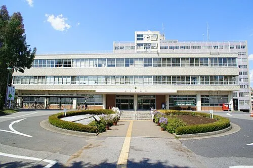 Matsudo City, Matsudo Shi498.6K
-
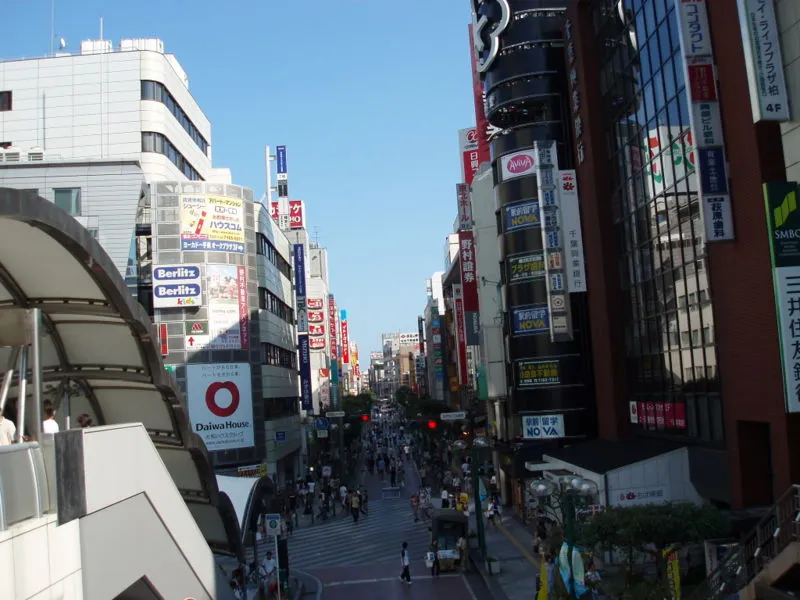 Kashiwa City, Kashiwa Shi433.4K
-
Funabashi Neighbourhood, Funabashi-shi644.7K
-
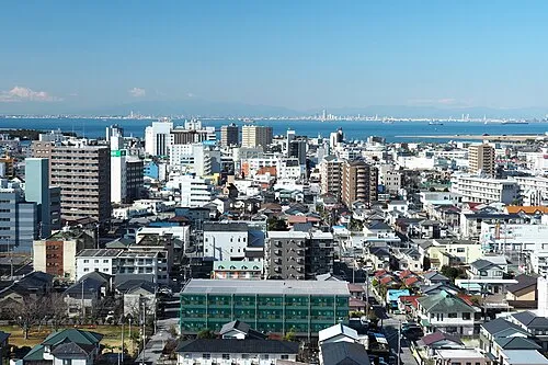 Kisarazu City, Kisarazu Shi136.2K
-
Hanamigawa Ku Municipality, Chiba Shi180.9K
-
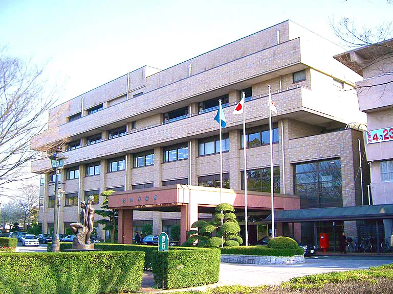 Nagareyama City, Nagareyama-shi200.1K
-
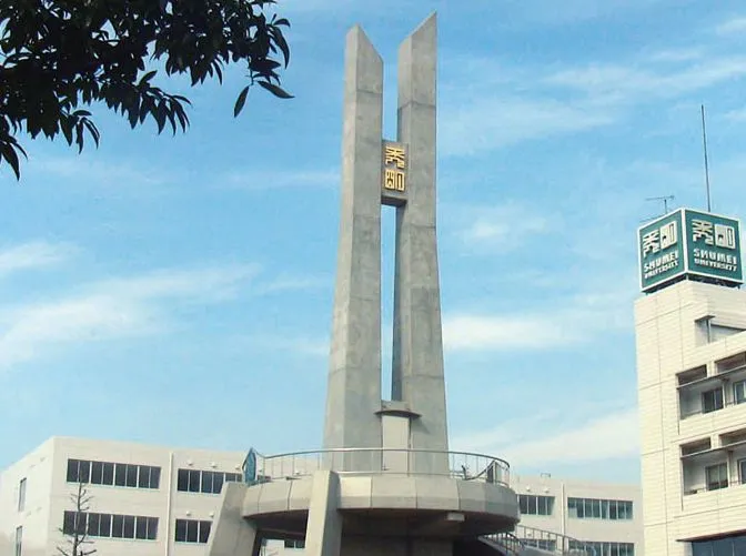 Yachiyo City, Yachiyo199.5K
-
Chūō Ku Municipality, Chiba Shi217.9K
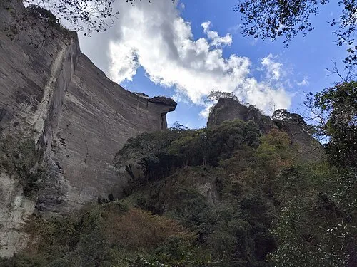
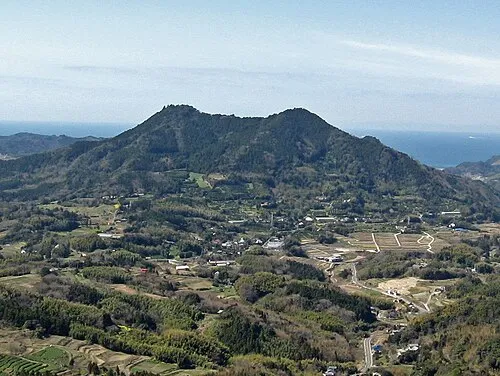
Nature and heritage in Chiba

Sources & licences
Data last updated: · 2 independent sources