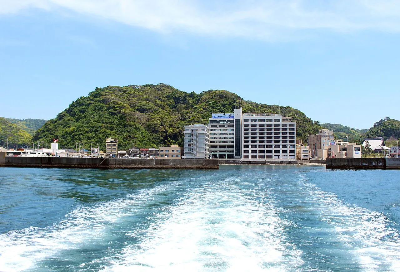
- Elevation
- 1 m
- above sea level
- Local time
- UTC+09:00
- Asia/Tokyo · UTC+09:00
- Airports
- HND Tokyo Haneda International Airport60 km
- NRT Narita International Airport74 km
About Uchiura Wan
Uchiura Wan is a natural site. Location: Chiba, Japan. The best months to visit are May–July, September–October. The nearest airport is Tokyo Haneda International Airport (60 km). Nearby sights include Mount Atago and Karasuba Yama.
Climate of Uchiura Wan
Best months for sightseeingBest months for sightseeing: May–July, September–October.
Bars: average monthly low and high temperature. Below: precipitation. Monthly averages for 1970–2000 at about 18 km resolution, adjusted for elevation. Highlighted months are mild and relatively dry. Source: WorldClim 2.1 (CC BY 4.0).
Show values as a table
| Month | Jan | Feb | Mar | Apr | May | Jun | Jul | Aug | Sep | Oct | Nov | Dec |
|---|---|---|---|---|---|---|---|---|---|---|---|---|
| Average high (°C) | 10° | 11° | 13° | 18° | 21° | 24° | 27° | 29° | 26° | 22° | 18° | 13° |
| Average low (°C) | 2° | 2° | 5° | 10° | 14° | 18° | 22° | 23° | 20° | 15° | 10° | 4° |
| Precipitation (mm) | 76 | 100 | 157 | 150 | 163 | 211 | 133 | 151 | 220 | 231 | 143 | 74 |
Other places to visit in this season: May June July September October
Airports nearest to Uchiura Wan
- Tokyo Haneda International Airport (HND) Tokyo 60 km
- Narita International Airport (NRT) Narita 74 km
- Oshima Airport (OIM) Izu Oshima 85 km
Straight-line distance; airports with scheduled flights only. Source: OurAirports (public domain).
Nearest towns and villages
-
Kamogawa City, Kamogawa-shi8.6 km W
-
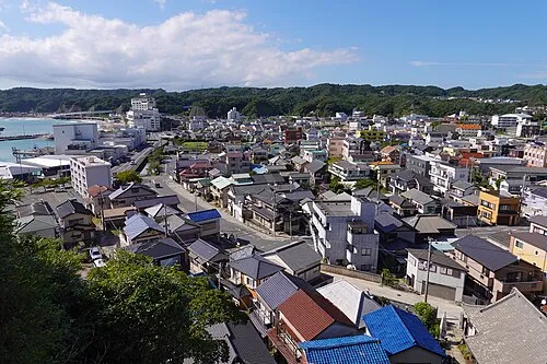 Katsuura City, Katsuura-shi12 km E
-
Ōtaki Machi Municipality, Isumi-gun14 km N
-
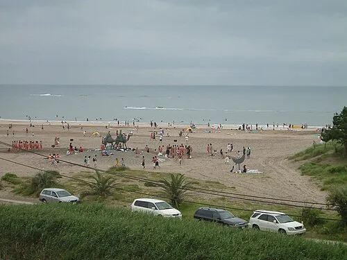 Shinmachi Town, Onjuku Machi17 km NE
-
Onjuku Machi Municipality, Isumi-gun16 km NE
-
Wada Town, Minamibōsō Shi18 km SW
Nearby attractions & nature
Everything nearby-
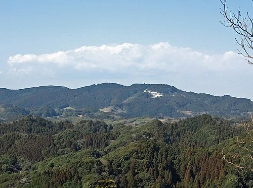 Mount Atago Mountain, Minamibōsō Shi19 km W
-
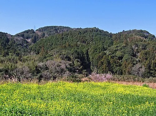 Karasuba Yama Mountain, Minamibōsō Shi16 km W
-
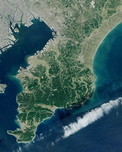 Bōsō Peninsula Natural site, Chiba24 km N
More nature in Japan
-
Mount Iyogatake Mountain, Minamibōsō Shi25 km W
-
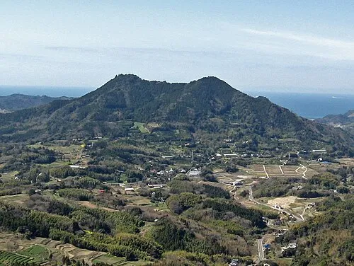 Mount Tomi Mountain, Minamibōsō Shi28 km W
-
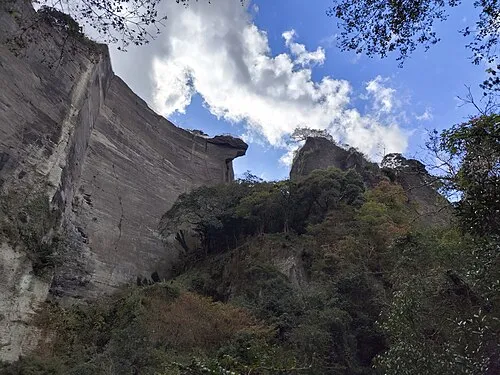 Nokogiri Yama Mountain, Futtsu Shi32 km W
-
 Inubō Saki Natural site, Chōshi Shi90 km NE
Sources & licences
Data last updated: · 2 independent sources