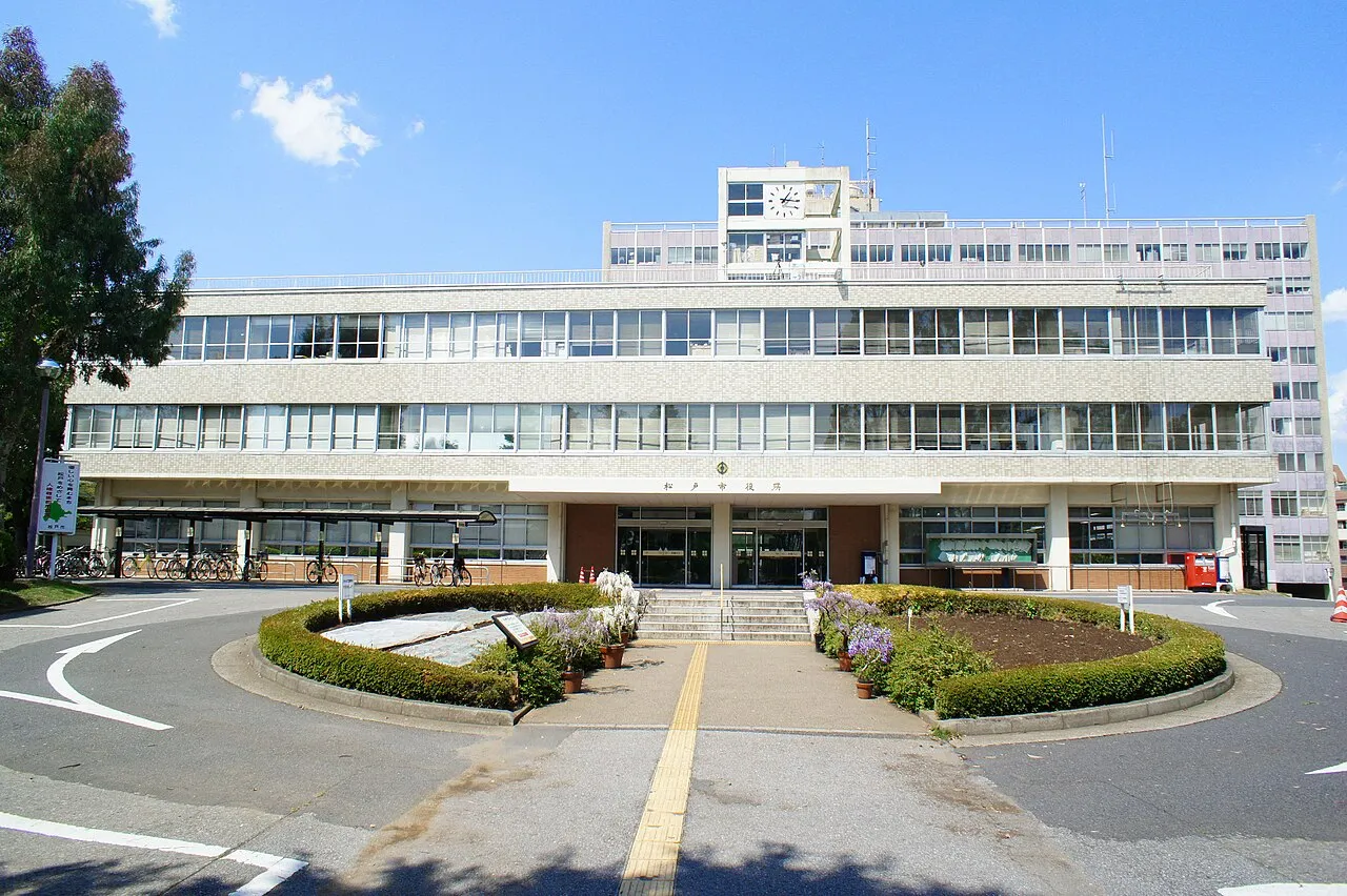
- Population
- 498,575
- 498.6K
- Elevation
- 10 m
- above sea level
- Local time
- UTC+09:00
- Asia/Tokyo · UTC+09:00
- Airports
- HND Tokyo Haneda International Airport28 km
- NRT Narita International Airport44 km
About Matsudo
Matsudo is a city. Location: Matsudo Shi, Chiba. Population: 498,575. Elevation: 10 m.
Matsudo (松戸市, Matsudo-shi) is a city in Chiba Prefecture, Japan. As of 1 October 2024, the city had an estimated population of 499,533 in 242,918 households and a population density of 8,138 persons per km2. The total area of the city is 61.38 square kilometres (23.70 sq mi).
Source: Wikipedia · CC BY-SA 4.0
Photos of Matsudo
-

Ebiebi2 · CC BY-SA 4.0 -

t-mizo from Japan · CC BY 2.0 -

Mozzucu · CC0 -

Mayuno · CC BY-SA 3.0 -

marufuku_sign_collec… · CC BY 3.0


Travel notes for Matsudo
From Wikivoyage
Matsudo (松戸市 Matsudo-shi) is located east of Tokyo, in the northwestern part of Chiba prefecture. It has about 400,000 inhabitants.
Understand+
Tourist information site:
The local tourist association has a bilingual guide site.
Get in+
Matsudo is located on the JR Joban Line. It is linked to Ueno station in Tokyo by rapid trains running at frequent intervals of 10 min or less. The ride from Ueno takes as little as 20 min (on some midday services, 15 min at a cost of ¥290.
Matsudo also serves as the terminating point on the Shin-Keisei Line, which runs to Tsudanuma (45 min, ¥250). If going to Matsudo from Narita airport, take a Narita Sky Access train and change at Shin-Kamagaya for the Shin-Keisei Line (65 min, ¥1,070). Limousine bus service runs from Narita airport to Matsudo, but it takes longer (2 hr 15 min) and costs more (¥1,900).
From Haneda airport, there are several ways you can reach Matsudo by train. One example is to take the Tokyo monorail to Hamamatsucho, then take the JR Yamanote Line to Ueno or Nippori, where you can pick up the Joban Line train to Matsudo (approx. 75 min, ¥850).
Source: Wikivoyage · CC BY-SA 4.0 · abridged
Places bordering Matsudo
- Kamagaya
- Kashiwa
- Nagareyama
- Katsushika-ku
- Edogawa-ku
- Misato Shi
Twin towns and sister cities of Matsudo
- Kurayoshi· Japan
Source: Wikidata. Only places with a page on this site are shown.
Population of Matsudo over time
| 1943 | 40,433 | |
|---|---|---|
| 2010 | 484,457 | |
| 2015 | 483,480 | |
| 2021 | 497,514 |
Censuses and official estimates; source: Wikidata.
Climate of Matsudo
Best months for sightseeingBest months for sightseeing: May–June, October.
This month · November
Outside the best season
Day 17° · Night 8° · Rain 85 mm
Better nearby cities in November
- Isehara · 68 km southwest18°
- Odawara · 89 km southwest19°
- Mishima · 116 km southwest18°
- Hottest month
- August (day 30°)
- Coldest month
- January (night 0°)
- Wettest month
- September (194 mm)
- Driest month
- December (39 mm)
Bars: average monthly low and high temperature. Below: precipitation. Monthly averages for 1970–2000 at about 18 km resolution, adjusted for elevation. Highlighted months are mild and relatively dry. Source: WorldClim 2.1 (CC BY 4.0).
Show values as a table
| Month | Jan | Feb | Mar | Apr | May | Jun | Jul | Aug | Sep | Oct | Nov | Dec |
|---|---|---|---|---|---|---|---|---|---|---|---|---|
| Average high (°C) | 9° | 10° | 13° | 19° | 23° | 25° | 29° | 30° | 27° | 21° | 17° | 12° |
| Average low (°C) | 0° | 1° | 4° | 10° | 14° | 18° | 22° | 23° | 20° | 14° | 8° | 2° |
| Precipitation (mm) | 41 | 58 | 99 | 118 | 120 | 164 | 141 | 142 | 194 | 166 | 85 | 39 |
How to get to Matsudo
The nearest airport is Tokyo Haneda International Airport (HND), 28 km to the south as the crow flies. The nearest large city is Katsushika-ku, 7 km to the southwest.
Airports
- Tokyo Haneda International Airport (HND) Tokyo 28 kmsouth
- Narita International Airport (NRT) Narita 44 kmeast
- Ibaraki Airport (IBR) Omitama 64 kmnortheast
Nearby large cities
- Katsushika-ku Population: 453.1K 7 kmsouthwest
- Misato, Saitama Population: 142.1K 7 kmnorth
- Nagareyama Population: 200.1K 8 kmnorth
- Kamagaya Population: 109.9K 9 kmeast
- Sōka Population: 249.6K 11 kmnorthwest
Straight-line distances; road distances are longer. Airport data: OurAirports.
Day trips from Matsudo
Within 100 km: 50 historic and cultural sites, 39 natural sites, 40 lakes, rivers and coasts.
0–25 km43 places
- Lake Tega Lake 18 kmNE
- Naka River River 14 kmS
- Hanami River River 22 kmSE
- Ebi River River 12 kmSE
25–60 km32 places
- Saitama Super Arena Landmark 28 kmNW
- Iruma River River 35 kmNW
- Mount Ōyama Natural site 58 kmSW
- Obitsu River River 41 kmS
60–100 km54 places
- Jōga Shima Island 76 kmS
- Enoshima Island 66 kmSW
- Umeda Ko Lake 89 kmNW
- Mount Bukō Mountain 75 kmW
Straight-line distances.
Matsudo and similar cities
Side by side with cities of similar size in the same country: population, elevation and climate.
| Measure | Matsudo | Higashiosaka | Matsuyama | Nishinomiya |
|---|---|---|---|---|
| Population | 498.6K | 493.9K | 511.2K | 485.6K |
| Elevation | 10 m | 6 m | 28 m | 5 m |
| Summer day (hottest month) | 30° | 33° | 31° | 32° |
| Winter night (coldest month) | 0° | 1° | 2° | 1° |
| Annual rainfall | 1,367 mm | 1,381 mm | 1,623 mm | 1,449 mm |
| Best months | May–Jun, Oct | May, Oct | May–Jun, Oct | May, Oct |
| Distance | — | 412 km | 687 km | 432 km |
Climate values are 1970–2000 monthly averages; straight-line distance.
Nearby attractions & nature
Everything nearby-
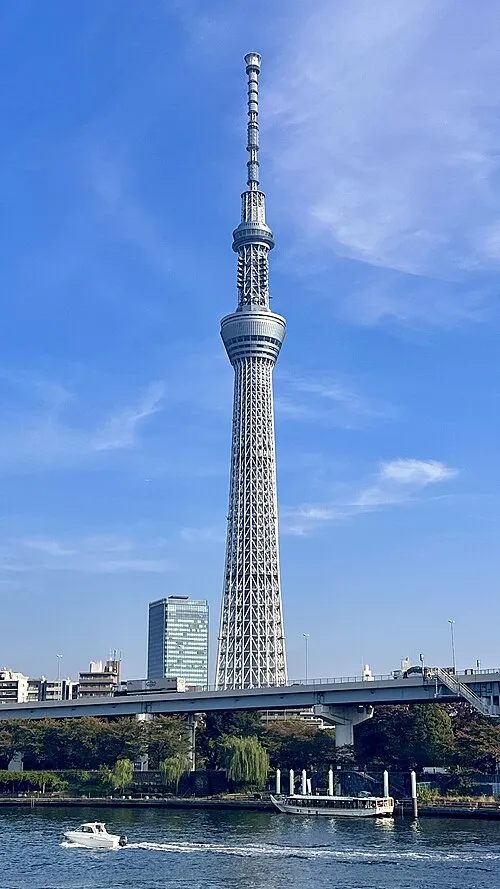 Tokyo Sky Tree Landmark, Sumida11 km SW
-
Ayase River River, Tokyo8.3 km SW
-
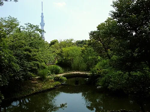 Mukōjima Hyakkaen Attraction, Sumida9.9 km SW
-
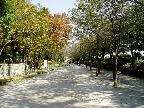 Sumida Kōen Natural site, Sumida12 km SW
-
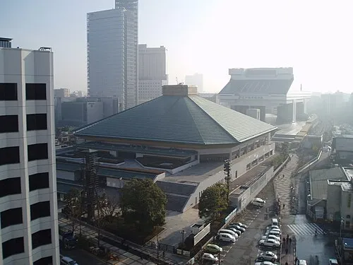 Ryōgoku Kokugikan Landmark, Sumida13 km SW
-
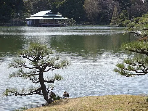 Kiyosumi Teien Attraction, Koto-ku15 km SW
-
 Kan’ei Ji Attraction, Taito13 km SW
-
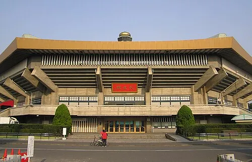 Nippon Budōkan Landmark, Chiyoda-ku17 km SW
Sources & licences
Data last updated: · 2 independent sources