- Population
- 165,190
- 165.2K
- Elevation
- 18 m
- above sea level
- Local time
- UTC+09:00
- Asia/Tokyo · UTC+09:00
- Places inside
- 2
- listed under Narashino Shi
- Airports
- HND Tokyo Haneda International Airport27 km
- NRT Narita International Airport34 km
About Narashino Shi
Narashino Shi is a district. Location: Chiba, Japan. Population: 165,190. The best months to visit are May–June, October. The nearest airport is Tokyo Haneda International Airport (27 km). Nearby sights include Ebi River and Hanami River.
Climate of Narashino Shi
Best months for sightseeingBest months for sightseeing: May–June, October.
Bars: average monthly low and high temperature. Below: precipitation. Monthly averages for 1970–2000 at about 18 km resolution, adjusted for elevation. Highlighted months are mild and relatively dry. Source: WorldClim 2.1 (CC BY 4.0).
Show values as a table
| Month | Jan | Feb | Mar | Apr | May | Jun | Jul | Aug | Sep | Oct | Nov | Dec |
|---|---|---|---|---|---|---|---|---|---|---|---|---|
| Average high (°C) | 9° | 10° | 13° | 18° | 22° | 24° | 28° | 30° | 26° | 21° | 16° | 12° |
| Average low (°C) | 0° | 1° | 4° | 9° | 14° | 18° | 21° | 23° | 19° | 13° | 7° | 2° |
| Precipitation (mm) | 43 | 62 | 97 | 117 | 114 | 157 | 126 | 131 | 187 | 169 | 87 | 43 |
Airports nearest to Narashino Shi
- Tokyo Haneda International Airport (HND) Tokyo 27 km
- Narita International Airport (NRT) Narita 34 km
- Ibaraki Airport (IBR) Omitama 65 km
Straight-line distance; airports with scheduled flights only. Source: OurAirports (public domain).
Places in Narashino Shi
2 placesBar: population relative to the most populous place in this list.
Nearby attractions & nature
Everything nearby-
Ebi River River, Chiba4.3 km W
-
Hanami River River, Japan6.5 km S
-
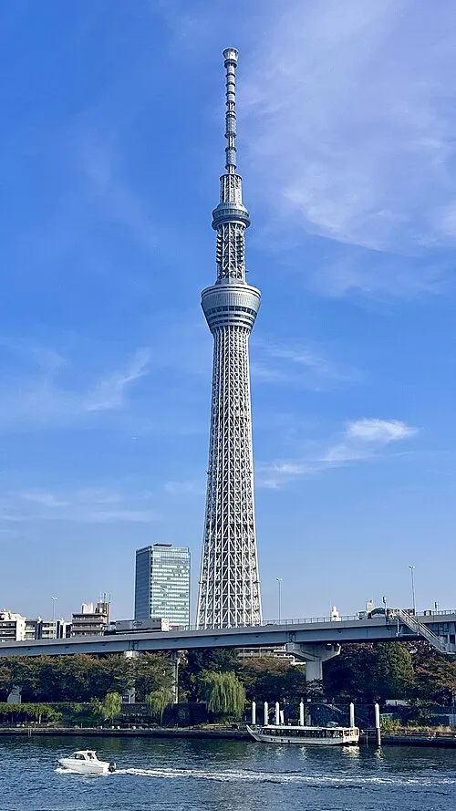 Tokyo Sky Tree Landmark, Sumida20 km W
-
 National Museum of Western Art Museum, Taito24 km W
-
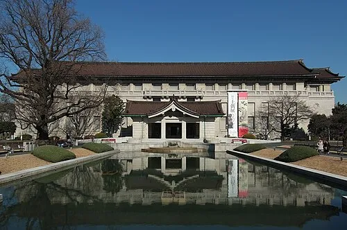 Tokyo National Museum Museum, Taito24 km W
-
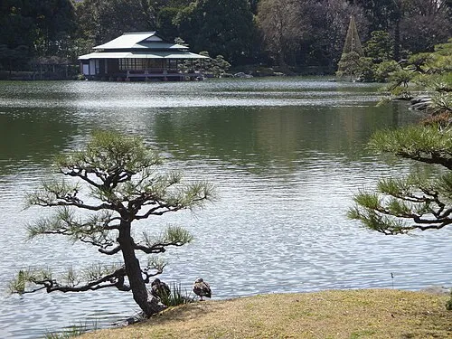 Kiyosumi Teien Attraction, Koto-ku21 km W
Sources & licences
Data last updated: