- Local time
- UTC+09:00
- Asia/Tokyo · UTC+09:00
- Elevation
- 28 m
- above sea level
- Airports
- HND Tokyo Haneda International Airport19 km
- NRT Narita International Airport56 km
About Tokyo National Museum
Tokyo National Museum is a museum. Location: Taito, Tokyo.
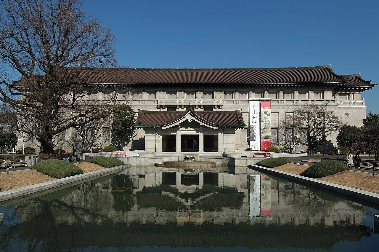
The Tokyo National Museum (東京国立博物館, Tōkyō Kokuritsu Hakubutsukan) or TNM is an art museum in Ueno Park in the Taitō ward of Tokyo, Japan. It is considered the oldest national museum and the largest art museum in Japan. The museum collects, preserves, and displays a comprehensive collection of artwork and cultural objects from Asia, with a focus on ancient and medieval Japanese art and Asian art along the Silk Road. There is also a large collection of Greco-Buddhist art.
Source: Wikipedia · CC BY-SA 4.0
At a glance
- Built
- 1872
- Opened
- 1872
- Architect
- Josiah Conder, Jin Watanabe
- Architectural style
- Japanese-Western Eclectic Architecture, Imperial Crown Style
- Heritage designation
- Important Cultural Property of Japan
- Visitors per year
- 605,214 (2021)
- Official website
- tnm.jp
Source: Wikidata
Photos of Tokyo National Museum
-

中徳新星 · CC BY 4.0 -

haru__q · CC BY-SA 2.0 -

Guilhem Vellut from Annecy, France · CC BY 2.0 -
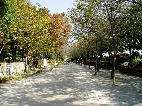
Sumida Kōen Mnd · CC BY-SA 3.0 -
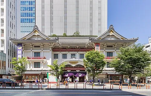
Kabuki-za 歌舞伎座 Kakidai · CC BY-SA 4.0


Climate of Tokyo National Museum
Best months for sightseeingBest months for sightseeing: May–June, October.
This month · November
Outside the best season
Day 17° · Night 8° · Rain 85 mm
Better nearby cities in November
- Isehara · 55 km southwest18°
- Odawara · 76 km southwest19°
- Mishima · 103 km southwest18°
- Hottest month
- August (day 31°)
- Coldest month
- January (night 1°)
- Wettest month
- September (202 mm)
- Driest month
- December (40 mm)
Bars: average monthly low and high temperature. Below: precipitation. Monthly averages for 1970–2000 at about 18 km resolution, adjusted for elevation. Highlighted months are mild and relatively dry. Source: WorldClim 2.1 (CC BY 4.0).
Show values as a table
| Month | Jan | Feb | Mar | Apr | May | Jun | Jul | Aug | Sep | Oct | Nov | Dec |
|---|---|---|---|---|---|---|---|---|---|---|---|---|
| Average high (°C) | 9° | 10° | 13° | 19° | 23° | 25° | 29° | 31° | 27° | 21° | 17° | 12° |
| Average low (°C) | 1° | 1° | 4° | 10° | 14° | 18° | 22° | 23° | 20° | 14° | 8° | 3° |
| Precipitation (mm) | 43 | 58 | 101 | 119 | 129 | 174 | 157 | 157 | 202 | 167 | 85 | 40 |
How to get to Tokyo National Museum
The nearest airport is Tokyo Haneda International Airport (HND), 19 km to the south as the crow flies. The nearest large city is Chuo, 5 km to the south.
Airports
- Tokyo Haneda International Airport (HND) Tokyo 19 kmsouth
- Narita International Airport (NRT) Narita 56 kmeast
- Ibaraki Airport (IBR) Omitama 77 kmnortheast
Nearby large cities
- Chuo Population: 169.2K 5 kmsouth
- Kita-ku Population: 332.1K 5 kmnorthwest
- Katsushika-ku Population: 453.1K 7 kmeast
- Minato Population: 260.5K 7 kmsouth
- Nakano City Population: 344.9K 10 kmwest
Straight-line distances; road distances are longer. Airport data: OurAirports.
Day trips from Tokyo National Museum
Within 100 km: 49 historic and cultural sites, 39 natural sites, 42 lakes, rivers and coasts.
0–25 km46 places
- Saitama Super Arena Landmark 24 kmNW
- Ueno Dōbutsuen Attraction 1 kmW
- National Museum of Modern Art Museum 4 kmSW
- Arisugawa-no-miya Memorial Park Natural site 9 kmSW
25–60 km42 places
- Enoshima Island 54 kmSW
- Ai River River 57 kmS
- Iruma River River 30 kmNW
- Lake Tega Lake 31 kmNE
60–100 km42 places
- Jōga Shima Island 66 kmS
- Hatsu-shima Island 93 kmSW
- Mount Atago Mountain 70 kmS
- Karasuba Yama Mountain 74 kmS
Straight-line distances.
Nearby attractions & nature
Everything nearby-
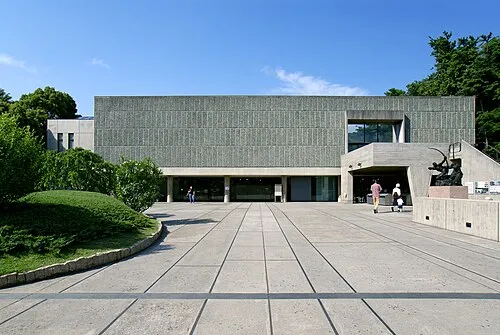 National Museum of Western Art Museum, Taito0.3 km S
-
 Kan’ei Ji Attraction, Taito0.4 km N
-
Ueno Dōbutsuen Attraction, Taito0.3 km W
-
 Yushima Seidō Attraction, Bunkyō-ku2.1 km SW
-
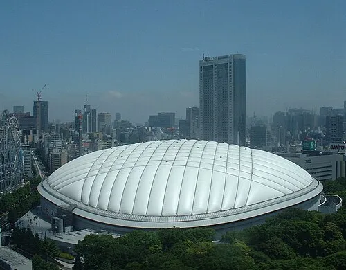 Tokyo Dome Landmark, Bunkyō-ku2.5 km SW
-
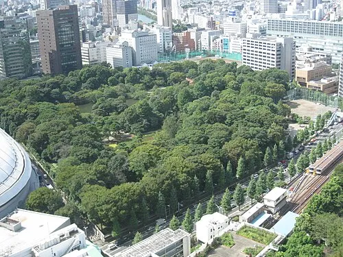 Koishikawa Kōraku En Attraction, Bunkyō-ku2.7 km SW
-
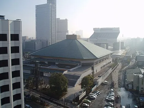 Ryōgoku Kokugikan Landmark, Sumida2.9 km SE
-
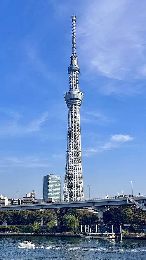 Tokyo Sky Tree Landmark, Sumida3.3 km E
Nearest towns and villages
-
Taitō City Neighbourhood, Taito1.2 km S
-
Asakusa Neighbourhood, Taito1.8 km E
-
Ueno Neighbourhood, Taito1.4 km S
-
Akihabara Neighbourhood, Chiyoda-ku2.2 km S
Sources & licences
Data last updated: · 2 independent sources