Nagareyama
Local name: 流山市
Located in Nagareyama-shi, Chiba Coordinates: 35°51′23″ N 139°54′10″ E
- Population
- 200,136
- 200.1K
- Elevation
- 15 m
- above sea level
- Local time
- UTC+09:00
- Asia/Tokyo · UTC+09:00
- Airports
- HND Tokyo Haneda International Airport36 km
- NRT Narita International Airport45 km
About Nagareyama
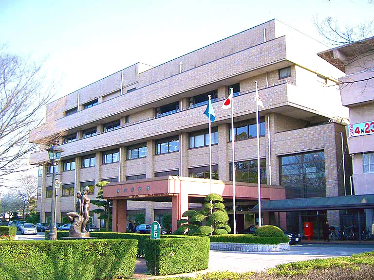
Nagareyama is a city. Location: Nagareyama-shi, Chiba. Population: 200,136. Elevation: 15 m.
Nagareyama (流山市, Nagareyama-shi) is a city located in Chiba Prefecture, Japan. As of 1 February 2024, the city had an estimated population of 211,620 in 89,751 households and a population density of 6,000 persons per km2. The total area of the city is 35.28 km2 (13.62 sq mi).
Source: Wikipedia · CC BY-SA 4.0
Photos of Nagareyama
-

双夏葉 · CC BY-SA 4.0 -

Otherde · CC BY 3.0 -

Otherde · CC BY 3.0 -
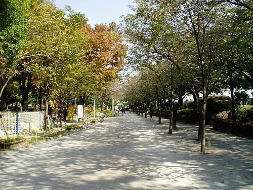
Sumida Kōen Mnd · CC BY-SA 3.0 -
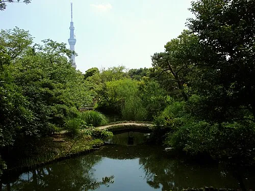
Mukōjima Hyakkaen Irina Gelbukh · CC BY-SA 3.0


Places bordering Nagareyama
- Matsudo
- Kashiwa
- Noda
- Misato Shi
- Yoshikawa
Twin towns and sister cities of Nagareyama
- Kitakami· Japan
- Sōma· Japan
Source: Wikidata. Only places with a page on this site are shown.
Population of Nagareyama over time
| 2010 | 163,984 | |
|---|---|---|
| 2015 | 174,373 | |
| 2021 | 200,298 |
Censuses and official estimates; source: Wikidata.
Climate of Nagareyama
Best months for sightseeingBest months for sightseeing: May–June, September–October.
This month · November
Outside the best season
Day 16° · Night 7° · Rain 79 mm
Better nearby cities in November
- Isehara · 74 km southwest18°
- Odawara · 95 km southwest19°
- Mishima · 121 km southwest18°
- Hottest month
- August (day 30°)
- Coldest month
- January (night -1°)
- Wettest month
- September (191 mm)
- Driest month
- January (36 mm)
Bars: average monthly low and high temperature. Below: precipitation. Monthly averages for 1970–2000 at about 18 km resolution, adjusted for elevation. Highlighted months are mild and relatively dry. Source: WorldClim 2.1 (CC BY 4.0).
Show values as a table
| Month | Jan | Feb | Mar | Apr | May | Jun | Jul | Aug | Sep | Oct | Nov | Dec |
|---|---|---|---|---|---|---|---|---|---|---|---|---|
| Average high (°C) | 9° | 10° | 12° | 18° | 22° | 24° | 28° | 30° | 26° | 21° | 16° | 11° |
| Average low (°C) | -1° | 0° | 3° | 9° | 14° | 18° | 21° | 23° | 19° | 13° | 7° | 1° |
| Precipitation (mm) | 36 | 54 | 90 | 112 | 119 | 160 | 143 | 143 | 191 | 163 | 79 | 37 |
Other places to visit in this season: May June September October
How to get to Nagareyama
The nearest airport is Tokyo Haneda International Airport (HND), 36 km to the south as the crow flies. The nearest large city is Misato, Saitama, 2 km to the southwest.
Airports
- Tokyo Haneda International Airport (HND) Tokyo 36 kmsouth
- Narita International Airport (NRT) Narita 45 kmeast
- Ibaraki Airport (IBR) Omitama 59 kmnortheast
Nearby large cities
- Misato, Saitama Population: 142.1K 2 kmsouthwest
- Kashiwa Population: 433.4K 7 kmeast
- Matsudo Population: 498.6K 8 kmsouth
- Sōka Population: 249.6K 10 kmwest
- Abiko Population: 131.8K 10 kmeast
Straight-line distances; road distances are longer. Airport data: OurAirports.
Day trips from Nagareyama
Within 100 km: 50 historic and cultural sites, 36 natural sites, 41 lakes, rivers and coasts.
0–25 km32 places
- Saitama Super Arena Landmark 25 kmW
- Tsukiji Honganji Attraction 24 kmSW
- Sumida Kōen Natural site 18 kmSW
- Kanda River River 21 kmSW
25–60 km37 places
- Iruma River River 33 kmW
- Meguro River River 30 kmSW
- Sengaku Ji Attraction 29 kmSW
- Sumida River River 26 kmSW
60–100 km58 places
- Jōga Shima Island 84 kmS
- Enoshima Island 73 kmSW
- Umeda Ko Lake 82 kmNW
- Mount Bukō Mountain 73 kmW
Straight-line distances.
Nagareyama and similar cities
Side by side with cities of similar size in the same country: population, elevation and climate.
| Measure | Nagareyama | Yachiyo | Kodaira | Itami |
|---|---|---|---|---|
| Population | 200.1K | 199.5K | 198.7K | 198.1K |
| Elevation | 15 m | 30 m | 79 m | 22 m |
| Summer day (hottest month) | 30° | 30° | 30° | 33° |
| Winter night (coldest month) | -1° | 0° | -1° | 1° |
| Annual rainfall | 1,327 mm | 1,333 mm | 1,484 mm | 1,355 mm |
| Best months | May–Jun, Sep–Oct | May–Jun, Oct | Apr–Jun, Sep–Oct | May, Oct |
| Distance | — | 24 km | 40 km | 426 km |
Climate values are 1970–2000 monthly averages; straight-line distance.
Nearby attractions & nature
Everything nearby-
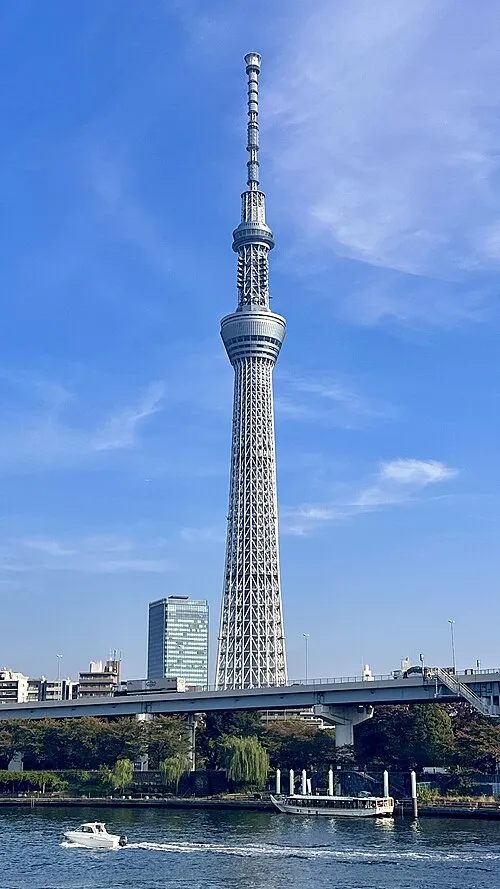 Tokyo Sky Tree Landmark, Sumida18 km SW
-
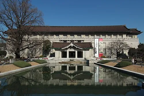 Tokyo National Museum Museum, Taito19 km SW
-
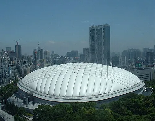 Tokyo Dome Landmark, Bunkyō-ku22 km SW
-
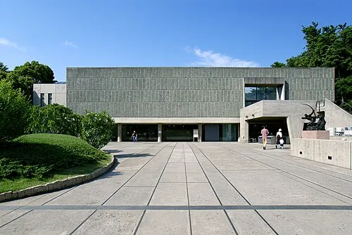 National Museum of Western Art Museum, Taito19 km SW
-
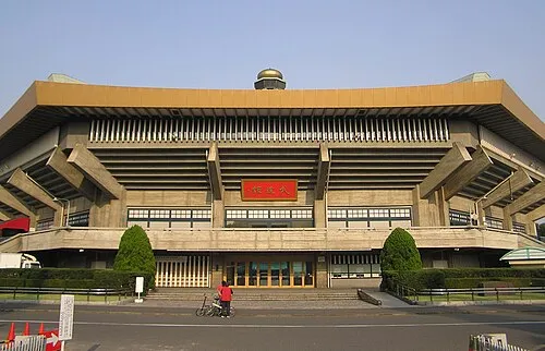 Nippon Budōkan Landmark, Chiyoda-ku23 km SW
-
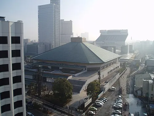 Ryōgoku Kokugikan Landmark, Sumida20 km SW
-
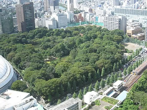 Koishikawa Kōraku En Attraction, Bunkyō-ku22 km SW
-
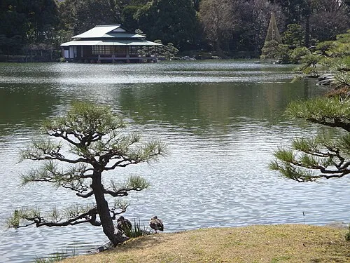 Kiyosumi Teien Attraction, Koto-ku22 km SW
Sources & licences
Data last updated: · 2 independent sources