- Local time
- UTC+09:00
- Asia/Tokyo · UTC+09:00
- Airports
- HND Tokyo Haneda International Airport47 km
- OIM Oshima Airport52 km
About Sagami Bay
Sagami Bay is a natural site. Location: Japan.
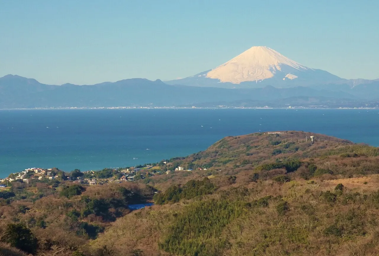
Sagami Bay (相模湾, Sagami-wan; also known as the Sagami Gulf or Sagami Sea) lies south of Kanagawa Prefecture in Honshu, central Japan, contained within the scope of the Miura Peninsula, in Kanagawa, to the east, the Izu Peninsula, in Shizuoka Prefecture, to the west, and the Shōnan coastline to the north, while the island of Izu Ōshima marks the southern extent of the bay. It lies approximately 40 kilometres (25 mi) southwest of the capital, Tokyo.
Read more on Wikipedia Text: Wikipedia contributors · CC BY-SA 4.0 · shortened
At a glance
- Maximum depth
- 1,600 m
Source: Wikidata
Climate of Sagami Bay
Best months for sightseeingBest months for sightseeing: May–June, October.
Bars: average monthly low and high temperature. Below: precipitation. Monthly averages for 1970–2000 at about 18 km resolution, adjusted for elevation. Highlighted months are mild and relatively dry. Source: WorldClim 2.1 (CC BY 4.0).
Show values as a table
| Month | Jan | Feb | Mar | Apr | May | Jun | Jul | Aug | Sep | Oct | Nov | Dec |
|---|---|---|---|---|---|---|---|---|---|---|---|---|
| Average high (°C) | 10° | 11° | 14° | 19° | 23° | 25° | 29° | 30° | 27° | 22° | 17° | 13° |
| Average low (°C) | 1° | 1° | 4° | 10° | 14° | 18° | 22° | 23° | 20° | 14° | 8° | 3° |
| Precipitation (mm) | 62 | 76 | 131 | 145 | 162 | 225 | 168 | 184 | 218 | 192 | 109 | 57 |
Airports nearest to Sagami Bay
- Tokyo Haneda International Airport (HND) Tokyo 47 km
- Oshima Airport (OIM) Izu Oshima 52 km
- Narita International Airport (NRT) Narita 105 km
Straight-line distance; airports with scheduled flights only. Source: OurAirports (public domain).
Nearest towns and villages
Nearby attractions & nature
Everything nearby-
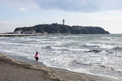 Enoshima Island, Kanagawa8 km NE
-
Sagami River River, Japan8.4 km NW
-
Sakai Gawa River, Kanagawa8.5 km NE
-
Kashio River River, Kanagawa12 km NE
-
Hikiji River River, Kanagawa8.6 km NE
-
Nameri Kawa River, Kanagawa13 km NE
-
 Miura Hantō Natural site, Kanagawa22 km E
-
Mount Ōyama Natural site, Yokosuka21 km E
More nature in Japan
-
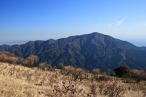 Ō Yama Mountain, Isehara27 km NW
-
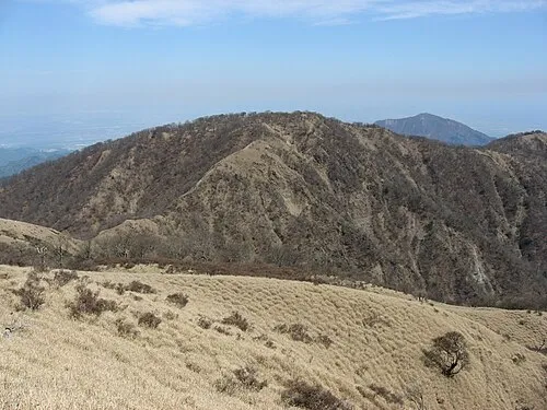 Mount Tanzawa Mountain, Ashigarakami-gun34 km NW
-
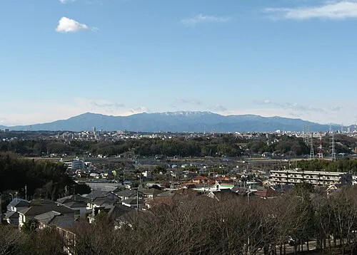 Tanzawa Sanchi Mountain, Kanagawa35 km NW
-
 Negishi Bay Natural site, Kanagawa27 km NE
-
Nangō San Mountain, Yugawara Machi30 km W
-
Mount Kōbō Mountain, Hadano-shi21 km NW
Sources & licences
Data last updated: · 2 independent sources