- Elevation
- 1 m
- above sea level
- Local time
- UTC+09:00
- Asia/Tokyo · UTC+09:00
- Airports
- HND Tokyo Haneda International Airport46 km
- OIM Oshima Airport59 km
About Sagami River
Sagami River is a river. Location: Japan.
The Sagami River (相模川, Sagamigawa) is a Class A river in Kanagawa and Yamanashi Prefectures on the island of Honshū, Japan. The name Sagami come from old Sagami Province, which corresponds to present-day Kanagawa prefecture. The upper reaches of the river in Yamanashi prefecture are also sometimes known as the Katsura River (桂川, Katsuragawa), and the portion near the river mouth as the Banyu River (馬入川, Banyugawa).
Read more on Wikipedia Text: Wikipedia contributors · CC BY-SA 4.0 · shortened
At a glance
- Length
- 109 km
Source: Wikidata
Climate of Sagami River
Best months for sightseeingBest months for sightseeing: May–June, October.
Bars: average monthly low and high temperature. Below: precipitation. Monthly averages for 1970–2000 at about 18 km resolution, adjusted for elevation. Highlighted months are mild and relatively dry. Source: WorldClim 2.1 (CC BY 4.0).
Show values as a table
| Month | Jan | Feb | Mar | Apr | May | Jun | Jul | Aug | Sep | Oct | Nov | Dec |
|---|---|---|---|---|---|---|---|---|---|---|---|---|
| Average high (°C) | 11° | 11° | 14° | 19° | 23° | 25° | 29° | 31° | 27° | 22° | 17° | 13° |
| Average low (°C) | 1° | 2° | 4° | 10° | 14° | 18° | 22° | 23° | 20° | 14° | 9° | 3° |
| Precipitation (mm) | 62 | 76 | 131 | 145 | 162 | 225 | 168 | 184 | 218 | 192 | 109 | 57 |
Airports nearest to Sagami River
- Tokyo Haneda International Airport (HND) Tokyo 46 km
- Oshima Airport (OIM) Izu Oshima 59 km
- Narita International Airport (NRT) Narita 105 km
Straight-line distance; airports with scheduled flights only. Source: OurAirports (public domain).
Nearest towns and villages
-
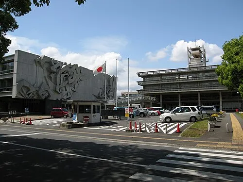 Hiratsuka City, Hiratsuka3.2 km NW
-
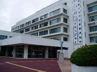 Chigasaki City, Chigasaki3.9 km NE
-
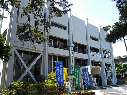 Ōiso Town, Ōiso-machi4.8 km W
-
Ōiso-machi Municipality, Naka-gun4.8 km W
-
Samukawa Machi Municipality, Kōza-gun7 km N
-
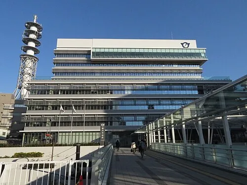 Fujisawa City, Fujisawa10 km E
Nearby attractions & nature
Everything nearby-
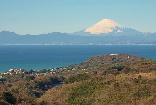 Sagami Bay Natural site, Japan8.4 km SE
-
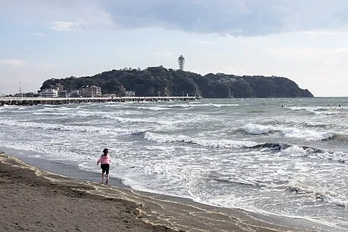 Enoshima Island, Kanagawa10 km E
-
Kashio River River, Kanagawa12 km E
-
Hikiji River River, Kanagawa9 km E
-
Sakai Gawa River, Kanagawa10 km E
-
Nameri Kawa River, Kanagawa16 km E
-
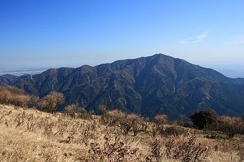 Ō Yama Mountain, Isehara19 km NW
-
Mount Shindainichi Mountain, Kiyokawa Mura23 km NW
More lakes, rivers and coasts in Japan
-
Jōga Shima Island, Kanagawa30 km SE
-
Tama Gawa River, Kanagawa23 km SW
-
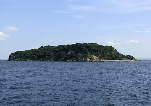 Sarushima Island, Kanagawa30 km E
-
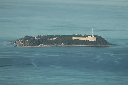 Hatsu-shima Island, Shizuoka36 km SW
-
Sakawa River River, Kanagawa18 km W
-
Tsurumi River River, Kanagawa34 km NE
Sources & licences
Data last updated: · 2 independent sources