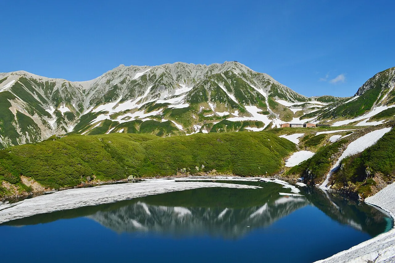
- Population
- 1,044,588
- 1M
- Elevation
- 76 m
- above sea level
- Local time
- UTC+09:00
- Asia/Tokyo · UTC+09:00
- Places inside
- 17
- listed under Toyama
- Airports
- TOY Toyama Kitokito Airport7 km
- NTQ Noto Satoyama Airport77 km
About Toyama
Toyama is a region. Location: Japan. Population: 1,044,588.
Toyama Prefecture (富山県, Toyama-ken; Japanese pronunciation: [tó̞.jä̀.mä̀, tò̞.jä́.mä́.kè̞ɴ̀]) is a prefecture of Japan located in the Chūbu region of Honshu. Toyama Prefecture has a population of 993,848 (1 January 2025) and has a geographic area of 4,247.61 km2 (1,640.01 sq mi). Toyama Prefecture borders Ishikawa Prefecture to the west, Gifu Prefecture to the south, Nagano Prefecture to the east, and Niigata Prefecture to the northeast.
Read more on Wikipedia Text: Wikipedia contributors · CC BY-SA 4.0 · shortened
Places bordering Toyama
- Ishikawa
- Niigata
- Nagano
- Gifu
Twin towns and sister cities of Toyama
- Oregon· United States
- Kanagawa· Japan
Source: Wikidata. Only places with a page on this site are shown.
Population of Toyama over time
| 1972 | 1,030,000 | |
|---|---|---|
| 1985 | 1,112,000 | |
| 2021 | 1,031,262 |
Censuses and official estimates; source: Wikidata.
Climate of Toyama
Best months for sightseeingBest months for sightseeing: May–June, September–October.
Bars: average monthly low and high temperature. Below: precipitation. Monthly averages for 1970–2000 at about 18 km resolution, adjusted for elevation. Highlighted months are mild and relatively dry. Source: WorldClim 2.1 (CC BY 4.0).
Show values as a table
| Month | Jan | Feb | Mar | Apr | May | Jun | Jul | Aug | Sep | Oct | Nov | Dec |
|---|---|---|---|---|---|---|---|---|---|---|---|---|
| Average high (°C) | 5° | 5° | 10° | 17° | 22° | 25° | 29° | 30° | 26° | 20° | 14° | 8° |
| Average low (°C) | -2° | -2° | 1° | 6° | 12° | 17° | 21° | 22° | 18° | 11° | 5° | 1° |
| Precipitation (mm) | 155 | 120 | 126 | 130 | 132 | 202 | 226 | 163 | 232 | 147 | 143 | 147 |
Other places to visit in this season: May June September October
Airports nearest to Toyama
- Toyama Kitokito Airport (TOY) Toyama 7 km
- Noto Satoyama Airport (NTQ) Wajima 77 km
- Shinshu-Matsumoto Airport (MMJ) Matsumoto 79 km
Straight-line distance; airports with scheduled flights only. Source: OurAirports (public domain).
Places in Toyama
17 places- 1 Toyama Shi 420.4K
- 2 Takaoka Shi 177K
- 3 Imizu Shi 91.9K
- 4 Nanto Shi 54.4K
- 5 Himi Shi 51.3K
- 6 Tonami Shi 49.7K
- 7 Uozu Shi 44K
- 8 Kurobe Shi 42.4K
- 9 Namerikawa-shi 33.7K
- 10 Oyabe Shi 31.7K
Bar: population relative to the most populous place in this list.
-
Jinzu River River
-
Joganji River River
-
Kurobe River River
-
Nakaniikawa Gun District
-
Oyabe River River
-
Shimoniikawa Gun District
-
Sho River River
Largest cities and towns
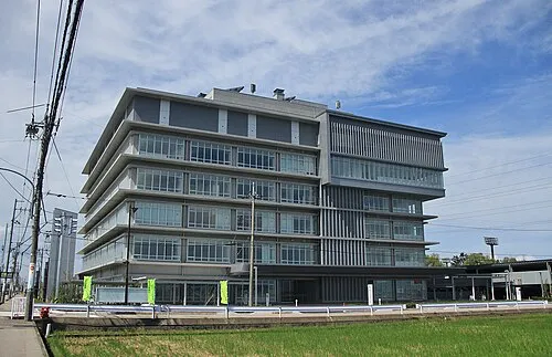
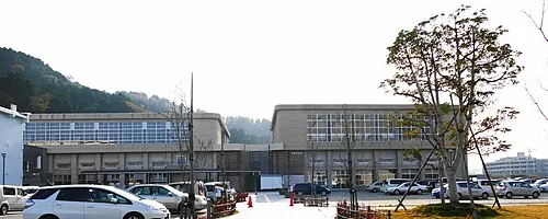
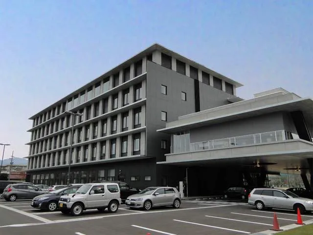
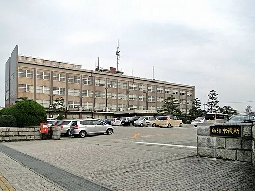
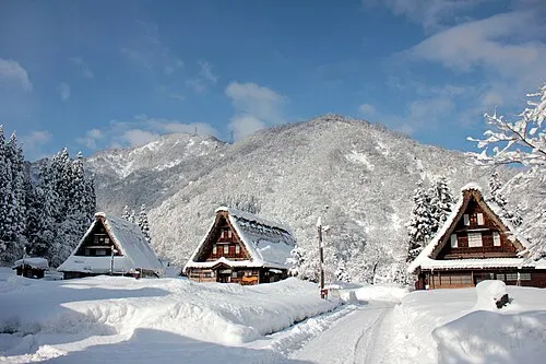
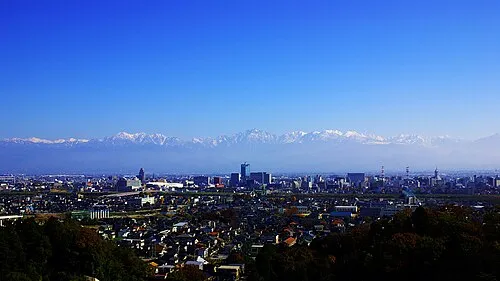
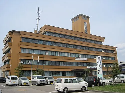
Nature and heritage in Toyama

Other regions in Japan
-
 Ishikawa Region, Japan47 km W
-
Ōmachi-shi District, Nagano45 km E
-
Nagano Shi District, Nagano76 km E
-
Nonoichi-shi District, Ishikawa60 km W
-
Hida Shi District, Gifu34 km S
-
Kanazawa District, Ishikawa52 km W
Sources & licences
Data last updated: · 2 independent sources