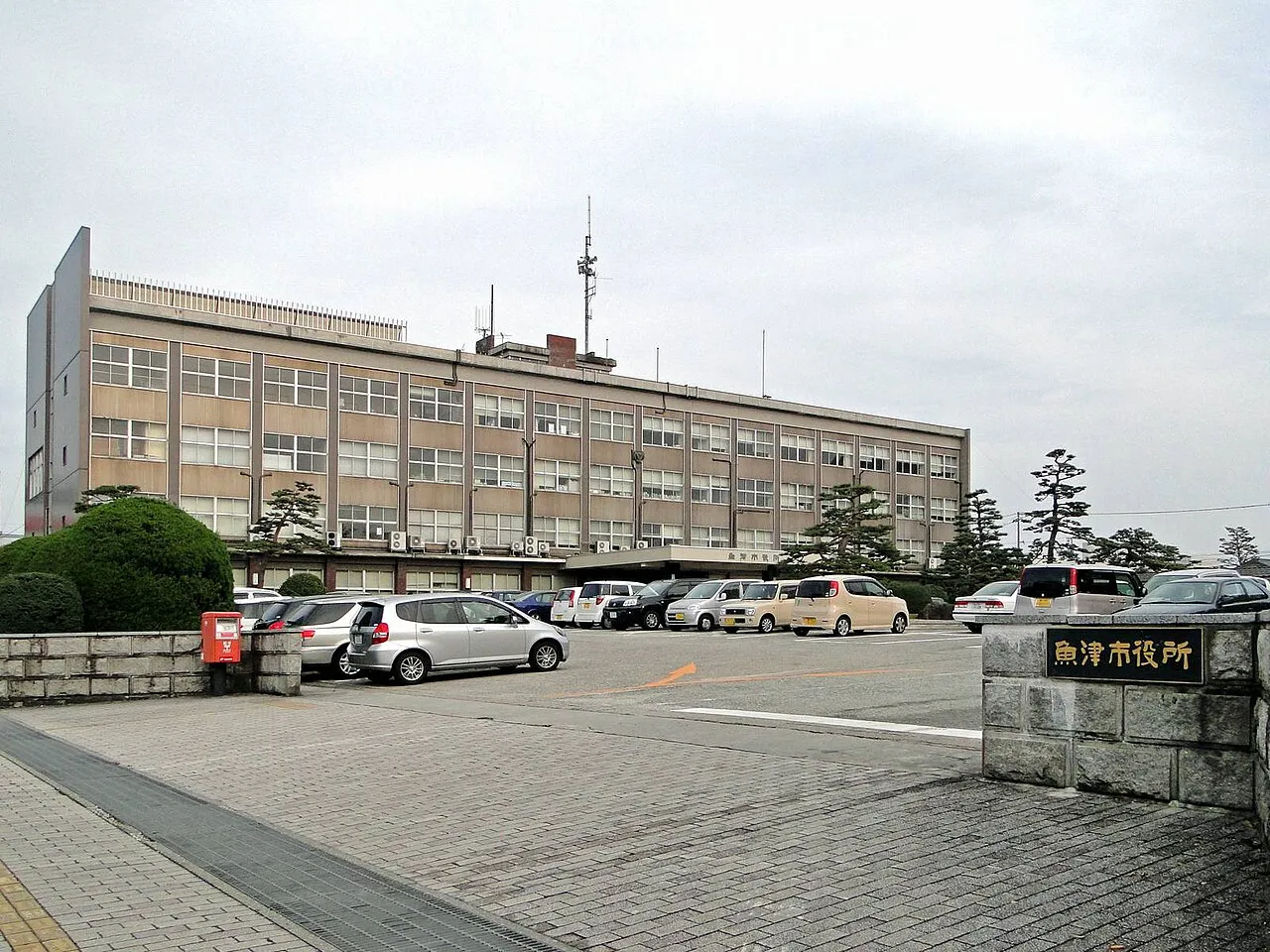
- Population
- 45,848
- 45.8K
- Elevation
- 13 m
- above sea level
- Local time
- UTC+09:00
- Asia/Tokyo · UTC+09:00
- Airports
- TOY Toyama Kitokito Airport25 km
- NTQ Noto Satoyama Airport67 km
About Uozu
Uozu is a city. Location: Uozu Shi, Toyama. Population: 45,848. Elevation: 13 m.
Uozu (魚津市, Uozu-shi; Japanese pronunciation: [ɯ̈́.ò̞.(d͡)zɨ̀, ɯ̈̀.ó̞.(d͡)zɨ́.ɕì]) is a city in the eastern part of Toyama Prefecture, Japan. As of 1 March 2018, the city had an estimated population of 42,224 in 16,811 households and a population density of 210 persons per km2. Its total area was 200.61 square kilometres (77.46 sq mi).
Source: Wikipedia · CC BY-SA 4.0
Places bordering Uozu
- Kurobe-shi
- Namerikawa-shi
- Kamiichi
Twin towns and sister cities of Uozu
- Chiang Mai· Thailand
Source: Wikidata. Only places with a page on this site are shown.
Population of Uozu over time
| 2010 | 44,959 | |
|---|---|---|
| 2015 | 42,935 | |
| 2019 | 41,526 | |
| 2021 | 40,828 |
Censuses and official estimates; source: Wikidata.
Climate of Uozu
Best months for sightseeingBest months for sightseeing: May–June, September–October.
This month · November
A wet month
Day 15° · Night 5° · Rain 150 mm
Better nearby cities in November
- Kofu · 164 km southeast17°
- Fujinomiya · 207 km southeast18°
- Fuji · 215 km southeast20°
- Hottest month
- August (day 30°)
- Coldest month
- February (night -2°)
- Wettest month
- September (219 mm)
- Driest month
- April (117 mm)
Bars: average monthly low and high temperature. Below: precipitation. Monthly averages for 1970–2000 at about 18 km resolution, adjusted for elevation. Highlighted months are mild and relatively dry. Source: WorldClim 2.1 (CC BY 4.0).
Show values as a table
| Month | Jan | Feb | Mar | Apr | May | Jun | Jul | Aug | Sep | Oct | Nov | Dec |
|---|---|---|---|---|---|---|---|---|---|---|---|---|
| Average high (°C) | 5° | 5° | 9° | 17° | 22° | 25° | 29° | 30° | 26° | 20° | 15° | 9° |
| Average low (°C) | -2° | -2° | 1° | 7° | 12° | 17° | 21° | 22° | 18° | 11° | 5° | 1° |
| Precipitation (mm) | 167 | 124 | 122 | 117 | 119 | 183 | 207 | 149 | 219 | 146 | 150 | 158 |
Other places to visit in this season: May June September October
How to get to Uozu
The nearest airport is Toyama Kitokito Airport (TOY), 25 km to the southwest as the crow flies. The nearest large city is Toyama, 20 km to the southwest.
Airports
- Toyama Kitokito Airport (TOY) Toyama 25 kmsouthwest
- Noto Satoyama Airport (NTQ) Wajima 67 kmnorthwest
- Shinshu-Matsumoto Airport (MMJ) Matsumoto 84 kmsoutheast
Nearby large cities
- Toyama Population: 415.8K 20 kmsouthwest
- Takaoka Population: 170.1K 35 kmwest
- Nagano Population: 372.8K 72 kmeast
- Kanazawa Population: 466K 73 kmwest
- Matsutō Population: 110.4K 81 kmsouthwest
Straight-line distances; road distances are longer. Airport data: OurAirports.
Nearby attractions & nature
Everything nearby-
Joganji River River, Toyama10 km SW
-
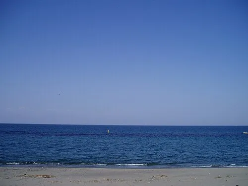 Toyama-wan Natural site, Japan21 km W
-
Jinzu River River, Toyama16 km W
-
Kurobe River River, Toyama14 km N
-
Mount Oizuru Mountain, Asahi Machi20 km NE
Sources & licences
Data last updated: · 2 independent sources