- Elevation
- 164 m
- above sea level
- Local time
- UTC+09:00
- Asia/Tokyo · UTC+09:00
- Airports
- HND Tokyo Haneda International Airport56 km
- OIM Oshima Airport94 km
About Sagami-ko
Sagami-ko is a lake. Location: Kanagawa, Japan. Elevation: 164 m.
Lake Sagami (相模湖, Sagami-ko) is an artificial lake located in Midori-ku, Sagamihara, Kanagawa in Japan's Kantō region. Created in 1947 after the Sagami River was dammed, it serves as use for recreational and hydroelectric purposes. The lake also served as venue for canoeing events at the 1964 Summer Olympics held in Tokyo, located 60 kilometres (37 mi) from the lake.
Read more on Wikipedia Text: Wikipedia contributors · CC BY-SA 4.0 · shortened
At a glance
- Maximum depth
- 32 m
- Area
- 3 km²
Source: Wikidata
Climate of Sagami-ko
Best months for sightseeingBest months for sightseeing: April–June, September–October.
Bars: average monthly low and high temperature. Below: precipitation. Monthly averages for 1970–2000 at about 18 km resolution, adjusted for elevation. Highlighted months are mild and relatively dry. Source: WorldClim 2.1 (CC BY 4.0).
Show values as a table
| Month | Jan | Feb | Mar | Apr | May | Jun | Jul | Aug | Sep | Oct | Nov | Dec |
|---|---|---|---|---|---|---|---|---|---|---|---|---|
| Average high (°C) | 9° | 9° | 12° | 18° | 22° | 24° | 28° | 30° | 26° | 21° | 16° | 12° |
| Average low (°C) | -1° | -1° | 2° | 8° | 13° | 17° | 21° | 22° | 19° | 13° | 7° | 1° |
| Precipitation (mm) | 43 | 55 | 95 | 114 | 139 | 197 | 155 | 204 | 212 | 170 | 79 | 42 |
Other places to visit in this season: April May June September October
Airports nearest to Sagami-ko
- Tokyo Haneda International Airport (HND) Tokyo 56 km
- Oshima Airport (OIM) Izu Oshima 94 km
- Narita International Airport (NRT) Narita 111 km
Straight-line distance; airports with scheduled flights only. Source: OurAirports (public domain).
Nearest towns and villages
-
Midori-ku Municipality, Sagamihara-shi5.3 km S
-
Uenohara City, Uenohara-shi5.6 km W
-
Fujino Village, Midori-ku3.4 km W
-
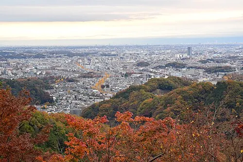 Hachiōji City, Hachiōji14 km E
-
Itsukaichi Town, Akiruno Shi13 km N
-
Aikawa Machi Municipality, Aikō-gun14 km SE
Nearby attractions & nature
Everything nearby-
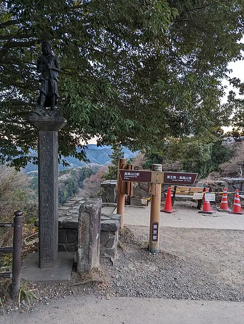 Mount Takao Mountain, Hachiōji6.4 km E
-
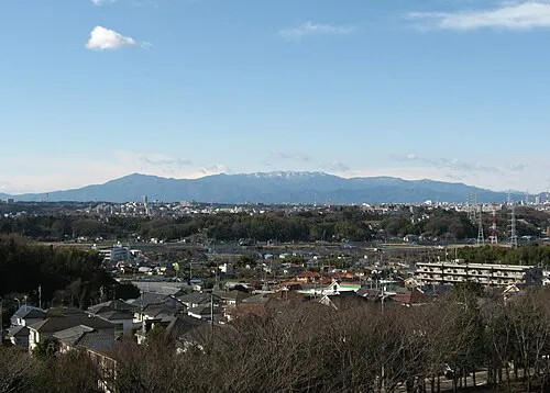 Tanzawa Sanchi Mountain, Kanagawa17 km S
-
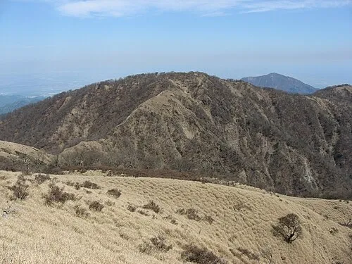 Mount Tanzawa Mountain, Ashigarakami-gun16 km S
-
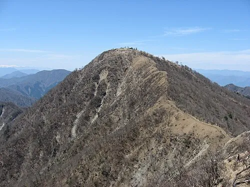 Mount Hiru Mountain, Midori-ku15 km S
-
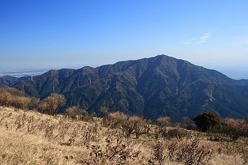 Ō Yama Mountain, Isehara20 km S
-
Mount Tō Mountain, Ashigarakami-gun18 km S
-
Mount Shindainichi Mountain, Kiyokawa Mura18 km S
-
 Okutama-ko Lake, Tokyo23 km NW
More lakes, rivers and coasts in Japan
-
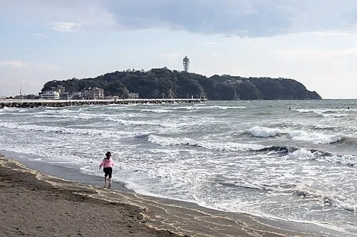 Enoshima Island, Kanagawa44 km SE
-
Kashio River River, Kanagawa42 km SE
-
Tsurumi River River, Kanagawa48 km E
-
Nameri Kawa River, Kanagawa47 km SE
-
Jōga Shima Island, Kanagawa67 km SE
-
Tama Gawa River, Kanagawa43 km S
Sources & licences
Data last updated: · 2 independent sources