Mount Takao
Local name: 高尾山
Located in Hachiōji, Tokyo Coordinates: 35°37′00″ N 139°15′00″ E
- Elevation
- 599 m
- above sea level
- Local time
- UTC+09:00
- Asia/Tokyo · UTC+09:00
- Airports
- HND Tokyo Haneda International Airport49 km
- OIM Oshima Airport93 km
About Mount Takao
Mount Takao is a mountain. Location: Hachiōji, Tokyo. Elevation: 599 m.
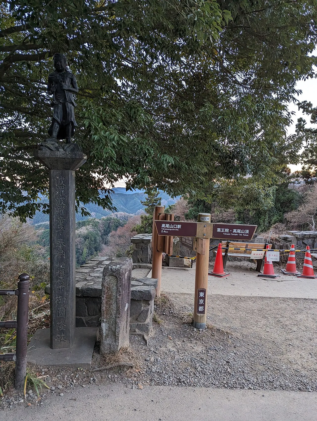
Mount Takao (高尾山, Takao-san) is a mountain in the city of Hachiōji, Tokyo, Japan. It is protected within Meiji no Mori Takao Quasi-National Park. Standing 599 metres (1,965 ft) tall and located within an hour of downtown Tokyo, it is a popular hiking spot, with eight hiking trails and more than 2.5 million annual visitors. The Tama Forest Science Garden is also located at the mountain's base. Mount Takao is closely associated with the Shinto-Buddhist tengu, supernatural creatures from Japanese folklore.
Source: Wikipedia · CC BY-SA 4.0
At a glance
- Heritage designation
- Japan Heritage
Source: Wikidata
Climate of Mount Takao
Best months for sightseeingBest months for sightseeing: May–July, September.
This month · November
Outside the best season
Day 13° · Night 4° · Rain 79 mm
Better nearby cities in November
- Isehara · 25 km south18°
- Odawara · 41 km south19°
- Kofu · 62 km west17°
- Hottest month
- August (day 27°)
- Coldest month
- January (night -4°)
- Wettest month
- September (212 mm)
- Driest month
- December (42 mm)
Bars: average monthly low and high temperature. Below: precipitation. Monthly averages for 1970–2000 at about 18 km resolution, adjusted for elevation. Highlighted months are mild and relatively dry. Source: WorldClim 2.1 (CC BY 4.0).
Show values as a table
| Month | Jan | Feb | Mar | Apr | May | Jun | Jul | Aug | Sep | Oct | Nov | Dec |
|---|---|---|---|---|---|---|---|---|---|---|---|---|
| Average high (°C) | 7° | 7° | 9° | 15° | 19° | 22° | 25° | 27° | 23° | 18° | 13° | 9° |
| Average low (°C) | -4° | -4° | 0° | 5° | 10° | 14° | 18° | 19° | 16° | 10° | 4° | -2° |
| Precipitation (mm) | 43 | 55 | 95 | 114 | 139 | 197 | 155 | 204 | 212 | 170 | 79 | 42 |
Other places to visit in this season: May June July September
How to get to Mount Takao
The nearest airport is Tokyo Haneda International Airport (HND), 49 km to the east as the crow flies. The nearest large city is Hachiōji, 8 km to the northeast.
Airports
- Tokyo Haneda International Airport (HND) Tokyo 49 kmeast
- Oshima Airport (OIM) Izu Oshima 93 kmsouth
- Narita International Airport (NRT) Narita 104 kmeast
Nearby large cities
- Hachiōji Population: 579.4K 8 kmnortheast
- Hino Population: 190.4K 15 kmnortheast
- Akishima Population: 113.9K 16 kmnortheast
- Tachikawa Population: 183.6K 18 kmnortheast
- Ōme Population: 133.5K 19 kmnorth
Straight-line distances; road distances are longer. Airport data: OurAirports.
Nearest towns and villages
-
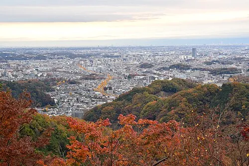 Hachiōji City, Hachiōji8 km NE
-
Midori-ku Municipality, Sagamihara-shi7.5 km SW
-
Aikawa Machi Municipality, Aikō-gun11 km SE
-
Chuo-ku Municipality, Sagamihara-shi12 km SE
-
Shiroyama Neighbourhood, Midori-ku4.6 km SE
-
Itsukaichi Town, Akiruno Shi12 km N
Nearby attractions & nature
Everything nearby-
Sagami-ko Lake, Kanagawa6.4 km W
-
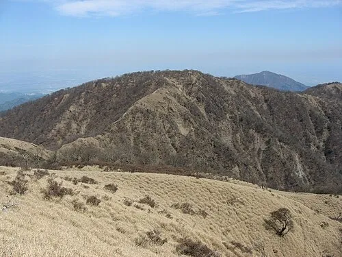 Mount Tanzawa Mountain, Ashigarakami-gun18 km SW
-
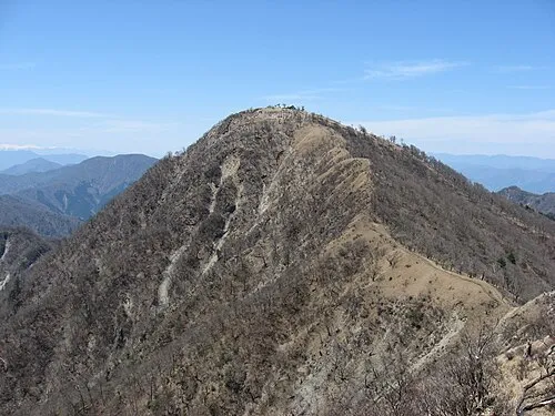 Mount Hiru Mountain, Midori-ku18 km SW
-
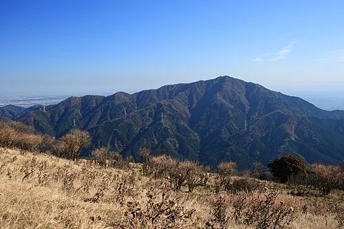 Ō Yama Mountain, Isehara20 km S
-
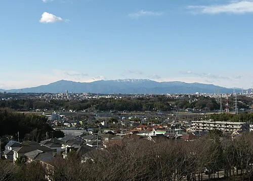 Tanzawa Sanchi Mountain, Kanagawa20 km SW
-
Mount Shindainichi Mountain, Kiyokawa Mura19 km S
-
Mount Tō Mountain, Ashigarakami-gun20 km SW
-
 Mitake-san Mountain, Ōme-shi21 km NW
Sources & licences
Data last updated: · 2 independent sources