- Population
- 272,463
- 272.5K
- Elevation
- 125 m
- above sea level
- Local time
- UTC+09:00
- Asia/Tokyo · UTC+09:00
- Airports
- HND Tokyo Haneda International Airport38 km
- OIM Oshima Airport87 km
About Chuo-ku
Chuo-ku is a municipality. Location: Sagamihara-shi, Kanagawa. Population: 272,463. Elevation: 125 m.
Chūō-ku (中央区, Chūō-ku) is one of three wards of Sagamihara, Kanagawa, Japan, located in the central part of the city. The north west of Chūō-ku faces Midori-ku; the south east faces Minami-ku; the north faces Machida. Chūō-ku was created on April 1, 2010 when Sagamihara became a city designated by government ordinance (a "designated city"). As of March 2010, Chūō-ku had a population of 265,057, with a land area of 36.8 square kilometers.
Source: Wikipedia · CC BY-SA 4.0
Population of Chuo-ku over time
| 2010 | 266,988 | |
|---|---|---|
| 2015 | 269,888 | |
| 2020 | 272,463 |
Censuses and official estimates; source: Wikidata.
Climate of Chuo-ku
Best months for sightseeingBest months for sightseeing: April–June, September–October.
This month · November
Outside the best season
Day 16° · Night 7° · Rain 86 mm
Better nearby cities in November
- Isehara · 19 km south18°
- Odawara · 39 km southwest19°
- Mishima · 64 km southwest18°
- Hottest month
- August (day 30°)
- Coldest month
- January (night -1°)
- Wettest month
- September (208 mm)
- Driest month
- January (48 mm)
Bars: average monthly low and high temperature. Below: precipitation. Monthly averages for 1970–2000 at about 18 km resolution, adjusted for elevation. Highlighted months are mild and relatively dry. Source: WorldClim 2.1 (CC BY 4.0).
Show values as a table
| Month | Jan | Feb | Mar | Apr | May | Jun | Jul | Aug | Sep | Oct | Nov | Dec |
|---|---|---|---|---|---|---|---|---|---|---|---|---|
| Average high (°C) | 9° | 10° | 13° | 18° | 22° | 25° | 28° | 30° | 26° | 21° | 16° | 12° |
| Average low (°C) | -1° | 0° | 3° | 9° | 13° | 17° | 21° | 22° | 19° | 13° | 7° | 1° |
| Precipitation (mm) | 48 | 59 | 102 | 120 | 148 | 202 | 157 | 192 | 208 | 182 | 86 | 49 |
Other places to visit in this season: April May June September October
How to get to Chuo-ku
The nearest airport is Tokyo Haneda International Airport (HND), 38 km to the east as the crow flies. The nearest large city is Machida, 8 km to the east.
Airports
- Tokyo Haneda International Airport (HND) Tokyo 38 kmeast
- Oshima Airport (OIM) Izu Oshima 87 kmsouth
- Narita International Airport (NRT) Narita 95 kmeast
Nearby large cities
- Machida Population: 431.1K 8 kmeast
- Zama Population: 132.3K 9 kmsouth
- Minamirinkan Population: 224K 10 kmsoutheast
- Hachiōji Population: 579.4K 11 kmnorth
- Yamato Population: 242.1K 13 kmsoutheast
Straight-line distances; road distances are longer. Airport data: OurAirports.
Day trips from Chuo-ku
Within 100 km: 51 historic and cultural sites, 46 natural sites, 46 lakes, rivers and coasts.
0–25 km16 places
- Tanzawa Ōyama Kokutei Kōen Natural site 24 kmSW
- Sagami-ko Lake 18 kmW
- Tanzawa Sanchi Mountain 24 kmSW
- Mount Takao Mountain 12 kmNW
25–60 km88 places
- Jōga Shima Island 53 kmSE
- Enoshima Island 31 kmS
- Saitama Super Arena Landmark 44 kmNE
- Mount Bukō Mountain 50 kmNW
60–100 km39 places
- Ō Shima Island 92 kmS
- Hatsu-shima Island 61 kmS
- Lake Shoji Lake 69 kmW
- Mount Echizen-dake Mountain 63 kmSW
Straight-line distances.
Chuo-ku and similar cities
Side by side with cities of similar size in the same country: population, elevation and climate.
| Measure | Chuo-ku | Yao | Kakogawa | Mito |
|---|---|---|---|---|
| Population | 272.5K | 273.2K | 271.6K | 270.7K |
| Elevation | 125 m | 13 m | 6 m | 28 m |
| Summer day (hottest month) | 30° | 33° | 32° | 29° |
| Winter night (coldest month) | -1° | 1° | 0° | -3° |
| Annual rainfall | 1,553 mm | 1,406 mm | 1,343 mm | 1,395 mm |
| Best months | Apr–Jun, Sep–Oct | Apr–May, Oct | May, Oct | May–Jun, Sep–Oct |
| Distance | — | 359 km | 423 km | 131 km |
Climate values are 1970–2000 monthly averages; straight-line distance.
Nearby attractions & nature
Everything nearby-
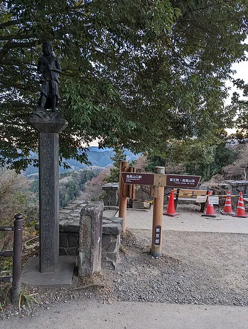 Mount Takao Mountain, Hachiōji12 km NW
-
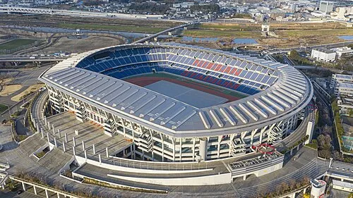 Nissan Stadium Landmark, Kōhoku-ku23 km E
-
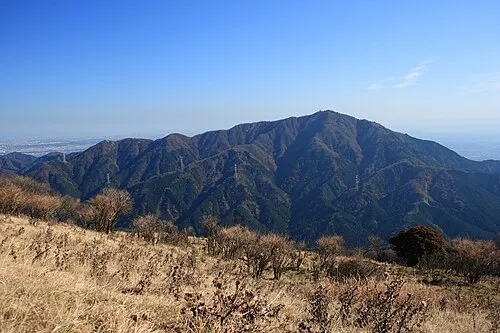 Ō Yama Mountain, Isehara18 km SW
-
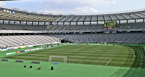 Ajinomoto Stadium Landmark, Chōfu-shi18 km NE
-
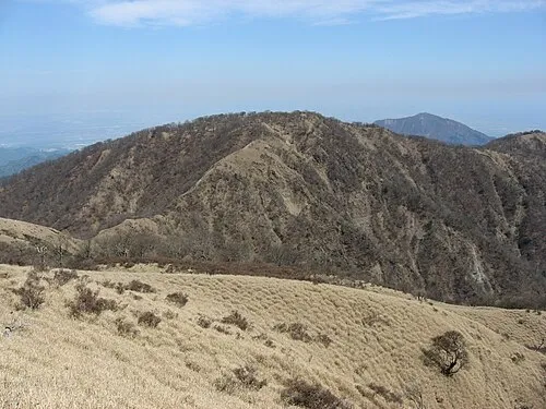 Mount Tanzawa Mountain, Ashigarakami-gun21 km SW
-
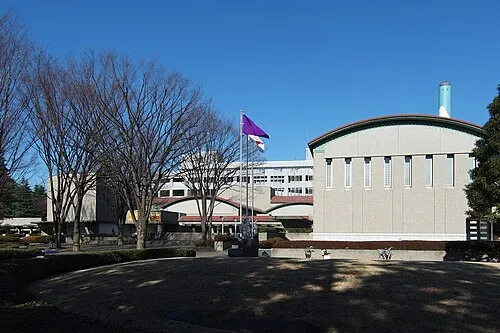 Setagaya Art Museum Museum, Setagaya-ku24 km E
-
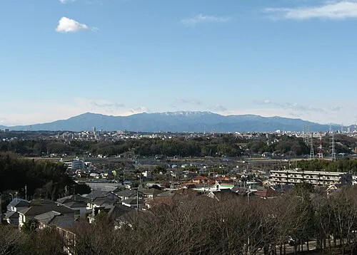 Tanzawa Sanchi Mountain, Kanagawa24 km SW
-
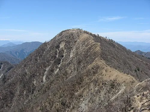 Mount Hiru Mountain, Midori-ku22 km W
Sources & licences
Data last updated: · 2 independent sources