
- Elevation
- 518 m
- above sea level
- Local time
- UTC+09:00
- Asia/Tokyo · UTC+09:00
- Airports
- HND Tokyo Haneda International Airport73 km
- MMJ Shinshu-Matsumoto Airport109 km
About Okutama-ko
Okutama-ko is a lake. Location: Tokyo, Japan. Elevation: 518 m.
Lake Okutama (奥多摩湖, Okutama-ko) is in Tokyo and Yamanashi Prefectures in Japan. Lying above the Ogōchi Dam, it is also known as the Ogōchi Reservoir. Lake Okutama is an important source of drinking water for Tokyo.
Read more on Wikipedia Text: Wikipedia contributors · CC BY-SA 4.0 · shortened
At a glance
- Maximum depth
- 15 m
- Area
- 4.2 km²
Source: Wikidata
Climate of Okutama-ko
Best months for sightseeingBest months for sightseeing: May–June, September.
Bars: average monthly low and high temperature. Below: precipitation. Monthly averages for 1970–2000 at about 18 km resolution, adjusted for elevation. Highlighted months are mild and relatively dry. Source: WorldClim 2.1 (CC BY 4.0).
Show values as a table
| Month | Jan | Feb | Mar | Apr | May | Jun | Jul | Aug | Sep | Oct | Nov | Dec |
|---|---|---|---|---|---|---|---|---|---|---|---|---|
| Average high (°C) | 8° | 8° | 10° | 16° | 21° | 23° | 27° | 28° | 24° | 19° | 15° | 10° |
| Average low (°C) | -3° | -3° | 0° | 6° | 11° | 15° | 19° | 20° | 17° | 10° | 5° | -1° |
| Precipitation (mm) | 35 | 50 | 83 | 106 | 128 | 190 | 167 | 233 | 224 | 156 | 70 | 31 |
Airports nearest to Okutama-ko
- Tokyo Haneda International Airport (HND) Tokyo 73 km
- Shinshu-Matsumoto Airport (MMJ) Matsumoto 109 km
- Oshima Airport (OIM) Izu Oshima 115 km
Straight-line distance; airports with scheduled flights only. Source: OurAirports (public domain).
Nearest towns and villages
-
Okutama-machi Municipality, Nishitama-gun5.1 km N
-
Kosuge Village Municipality, Kitatsuru-gun9 km SW
-
Kosuge Village, Kosuge Village8.8 km W
-
Hinohara-mura Municipality, Nishitama-gun12 km SE
-
Tabayama Village Municipality, Kitatsuru-gun12 km W
-
Tabayama Village, Tabayama Village10 km W
Nearby attractions & nature
Everything nearby-
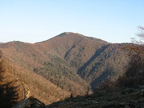 Kumotori-yama Mountain, Okutama-machi11 km NW
-
 Mitake-san Mountain, Ōme-shi10 km E
-
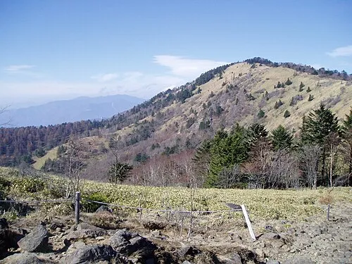 Mount Daibosatsu Mountain, Tabayama Village17 km W
-
Sagami-ko Lake, Kanagawa23 km SE
-
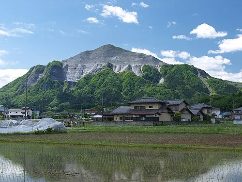 Mount Bukō Mountain, Chichibu-gun20 km N
-
Chichibu Tama Kai National Park Natural site, Kōshū Shi19 km W
More lakes, rivers and coasts in Japan
-
 Ō Shima Island, Ōshima-machi121 km S
-
Sumida River River, Tokyo68 km E
-
Kanda River River, Tokyo69 km E
-
Ayase River River, Tokyo73 km E
-
 To Shima Island, Tokyo141 km S
-
Meguro River River, Tokyo67 km E
Sources & licences
Data last updated: · 2 independent sources