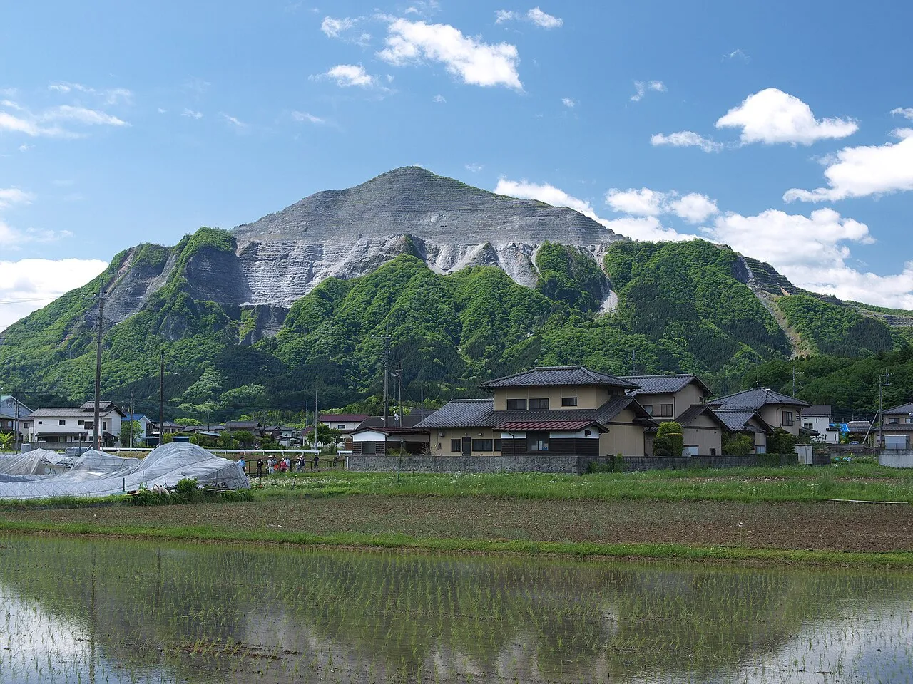
- Elevation
- 1,335 m
- above sea level
- Local time
- UTC+09:00
- Asia/Tokyo · UTC+09:00
- Airports
- HND Tokyo Haneda International Airport77 km
- MMJ Shinshu-Matsumoto Airport109 km
About Mount Bukō
Mount Bukō is a mountain. Location: Chichibu-gun, Saitama. Elevation: 1,335 m.
Mount Bukō (武甲山, Bukō-san) is a mountain in Chichibu, Saitama, Japan. A major regional source of limestone, it has been actively quarried since the Edo period.
Source: Wikipedia · CC BY-SA 4.0
Climate of Mount Bukō
Best months for sightseeingBest months for sightseeing: July–August.
This month · November
A cold month
Day 9° · Night -1° · Rain 64 mm
Better nearby cities in November
- Kofu · 58 km southwest17°
- Isehara · 64 km south18°
- Odawara · 78 km south19°
- Hottest month
- August (day 23°)
- Coldest month
- January (night -9°)
- Wettest month
- August (232 mm)
- Driest month
- December (29 mm)
Bars: average monthly low and high temperature. Below: precipitation. Monthly averages for 1970–2000 at about 18 km resolution, adjusted for elevation. Highlighted months are mild and relatively dry. Source: WorldClim 2.1 (CC BY 4.0).
Show values as a table
| Month | Jan | Feb | Mar | Apr | May | Jun | Jul | Aug | Sep | Oct | Nov | Dec |
|---|---|---|---|---|---|---|---|---|---|---|---|---|
| Average high (°C) | 2° | 2° | 5° | 11° | 16° | 18° | 22° | 23° | 19° | 13° | 9° | 5° |
| Average low (°C) | -9° | -9° | -6° | 0° | 5° | 10° | 14° | 15° | 11° | 5° | -1° | -7° |
| Precipitation (mm) | 33 | 48 | 76 | 101 | 122 | 186 | 171 | 232 | 222 | 149 | 64 | 29 |
How to get to Mount Bukō
The nearest airport is Tokyo Haneda International Airport (HND), 77 km to the southeast as the crow flies. The nearest large city is Ōme, 23 km to the southeast.
Airports
- Tokyo Haneda International Airport (HND) Tokyo 77 kmsoutheast
- Shinshu-Matsumoto Airport (MMJ) Matsumoto 109 kmwest
- Narita International Airport (NRT) Narita 118 kmeast
Nearby large cities
- Ōme Population: 133.5K 23 kmsoutheast
- Sakado Population: 100.3K 26 kmeast
- Iruma Population: 147.2K 28 kmsoutheast
- Sayama Population: 160.8K 30 kmeast
- Fukayachō Population: 141.3K 32 kmnortheast
Straight-line distances; road distances are longer. Airport data: OurAirports.
Nearest towns and villages
-
Yokoze Neighbourhood, Chichibu-gun3.6 km N
-
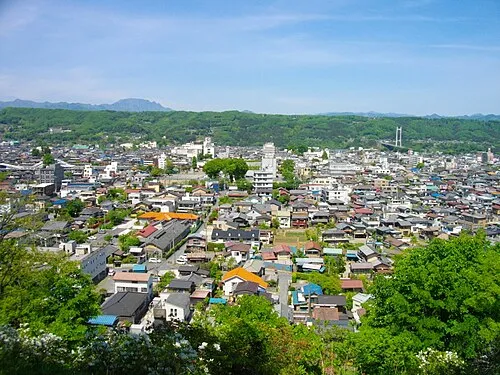 Chichibu City, Chichibu4.7 km NW
-
Higashichichibu-mura Municipality, Chichibu-gun13 km NE
-
Sakaguchi Village, Chichibu6 km W
-
Minano-machi Municipality, Chichibu-gun14 km N
-
Tokigawa-machi Municipality, Hiki-gun13 km NE
Nearby attractions & nature
Everything nearby-
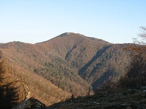 Kumotori-yama Mountain, Okutama-machi18 km SW
-
 Mitake-san Mountain, Ōme-shi19 km S
-
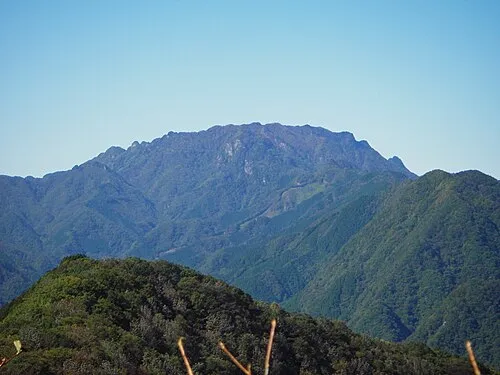 Mount Ryōkami Mountain, Ogano-machi25 km W
-
 Okutama-ko Lake, Tokyo20 km S
Sources & licences
Data last updated: · 2 independent sources