
- Local time
- UTC+09:00
- Asia/Tokyo · UTC+09:00
- Airports
- HND Tokyo Haneda International Airport15 km
- NRT Narita International Airport67 km
About Tokyo Bay
Tokyo Bay is a natural site. Location: Kanagawa, Japan.
Tokyo Bay (東京湾, Tōkyō-wan) is a bay located in the southern Kantō region of Japan spanning the coasts of Tokyo, Kanagawa Prefecture, and Chiba Prefecture, on the southern coast of the island of Honshu. Tokyo Bay is connected to the Pacific Ocean by the Uraga Channel. The Tokyo Bay region is the most populous and the largest industrialized area in Japan.
Source: Wikipedia · CC BY-SA 4.0
At a glance
- Maximum depth
- 700 m
- Area
- 1,380 km²
Source: Wikidata
Climate of Tokyo Bay
Best months for sightseeingBest months for sightseeing: May–June, September–October.
This month · November
A wet month
Day 17° · Night 9° · Rain 104 mm
Better nearby cities in November
- Isehara · 43 km west18°
- Odawara · 60 km west19°
- Mishima · 86 km southwest18°
- Hottest month
- August (day 30°)
- Coldest month
- January (night 2°)
- Wettest month
- September (208 mm)
- Driest month
- December (49 mm)
Bars: average monthly low and high temperature. Below: precipitation. Monthly averages for 1970–2000 at about 18 km resolution, adjusted for elevation. Highlighted months are mild and relatively dry. Source: WorldClim 2.1 (CC BY 4.0).
Show values as a table
| Month | Jan | Feb | Mar | Apr | May | Jun | Jul | Aug | Sep | Oct | Nov | Dec |
|---|---|---|---|---|---|---|---|---|---|---|---|---|
| Average high (°C) | 10° | 10° | 13° | 18° | 22° | 25° | 28° | 30° | 27° | 22° | 17° | 13° |
| Average low (°C) | 2° | 2° | 5° | 10° | 15° | 18° | 22° | 23° | 20° | 15° | 9° | 4° |
| Precipitation (mm) | 53 | 70 | 123 | 137 | 146 | 197 | 151 | 155 | 208 | 189 | 104 | 49 |
Other places to visit in this season: May June September October
How to get to Tokyo Bay
The nearest airport is Tokyo Haneda International Airport (HND), 15 km to the north as the crow flies. The nearest large city is Yokohama, 13 km to the west.
Airports
- Tokyo Haneda International Airport (HND) Tokyo 15 kmnorth
- Narita International Airport (NRT) Narita 67 kmnortheast
- Oshima Airport (OIM) Izu Oshima 80 kmsouthwest
Nearby large cities
- Yokohama Population: 3.8M 13 kmwest
- Kawasaki Population: 1.5M 13 kmnorthwest
- Kisarazu Population: 136.2K 14 kmeast
- Ōta-ku Population: 748.1K 17 kmnorth
- Yokosuka Population: 409.5K 18 kmsouthwest
Straight-line distances; road distances are longer. Airport data: OurAirports.
Nearest towns and villages
-
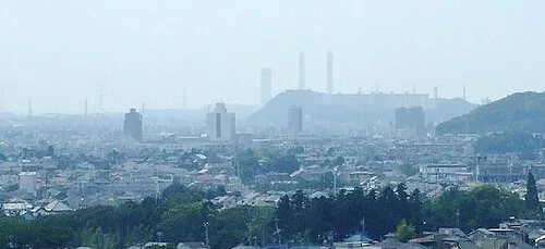 Kimitsu City, Kimitsu Shi11 km SE
-
Naka Ku Municipality, Yokohama12 km W
-
Kawasaki Ku Municipality, Kawasaki12 km NW
-
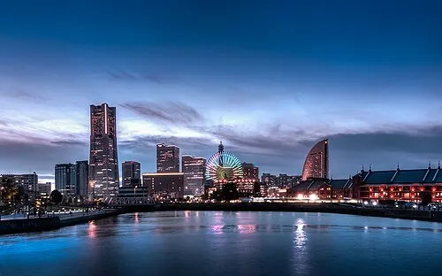 Yokohama City, Yokohama13 km W
-
Tsurumi Ku Municipality, Yokohama14 km NW
-
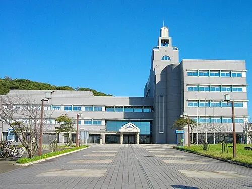 Futtsu City, Futtsu Shi12 km S
Nearby attractions & nature
Everything nearby-
Tsurumi River River, Kanagawa12 km NW
-
 Negishi Bay Natural site, Kanagawa12 km W
-
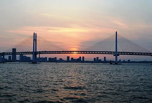 Yokohama Bay Bridge Landmark, Kanagawa11 km W
-
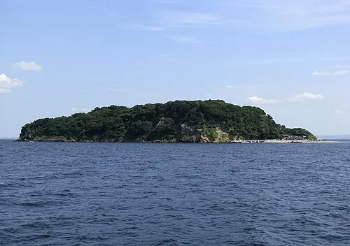 Sarushima Island, Kanagawa17 km SW
-
Tama Gawa River, Japan12 km N
-
 Miura Hantō Natural site, Kanagawa24 km SW
-
Koito River River, Chiba9.6 km SE
-
Ōoka River River, Kanagawa14 km W
More nature in Japan
-
Mount Ōyama Natural site, Yokosuka18 km SW
-
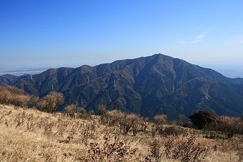 Ō Yama Mountain, Isehara50 km W
-
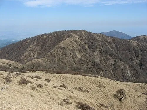 Mount Tanzawa Mountain, Ashigarakami-gun57 km W
-
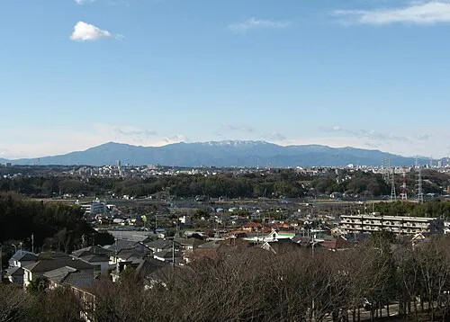 Tanzawa Sanchi Mountain, Kanagawa60 km W
-
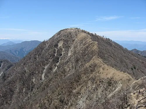 Mount Hiru Mountain, Midori-ku59 km W
-
Mount Shindainichi Mountain, Kiyokawa Mura56 km W
Sources & licences
Data last updated: · 2 independent sources