- Local time
- UTC+09:00
- Asia/Tokyo · UTC+09:00
- Airports
- HND Tokyo Haneda International Airport3 km
- NRT Narita International Airport60 km
About Tama Gawa
Tama Gawa is a river. Location: Japan.
The Tama River (多摩川, Tama-gawa) is a major river in Yamanashi, Kanagawa and Tokyo Prefectures on Honshū, Japan. It is officially classified as a Class 1 river by the Japanese government. It is 138 kilometres (86 mi) long, and has a 1,240 square kilometres (480 sq mi) basin. The river flows through the Greater Tokyo Area, on the dividing line between Tokyo and Kanagawa Prefectures. In Tokyo, its banks are lined with parks and sports fields, making the river a popular picnic spot.
Read more on Wikipedia Text: Wikipedia contributors · CC BY-SA 4.0 · shortened
At a glance
- Length
- 138 km
Source: Wikidata
Climate of Tama Gawa
Best months for sightseeingBest months for sightseeing: May–June, October.
Bars: average monthly low and high temperature. Below: precipitation. Monthly averages for 1970–2000 at about 18 km resolution, adjusted for elevation. Highlighted months are mild and relatively dry. Source: WorldClim 2.1 (CC BY 4.0).
Show values as a table
| Month | Jan | Feb | Mar | Apr | May | Jun | Jul | Aug | Sep | Oct | Nov | Dec |
|---|---|---|---|---|---|---|---|---|---|---|---|---|
| Average high (°C) | 10° | 10° | 13° | 18° | 23° | 25° | 28° | 30° | 27° | 21° | 17° | 12° |
| Average low (°C) | 2° | 2° | 5° | 10° | 15° | 18° | 22° | 24° | 20° | 14° | 9° | 4° |
| Precipitation (mm) | 49 | 63 | 113 | 129 | 137 | 184 | 156 | 157 | 206 | 179 | 95 | 44 |
Airports nearest to Tama Gawa
- Tokyo Haneda International Airport (HND) Tokyo 3 km
- Narita International Airport (NRT) Narita 60 km
- Oshima Airport (OIM) Izu Oshima 92 km
Straight-line distance; airports with scheduled flights only. Source: OurAirports (public domain).
Nearest towns and villages
-
Kawasaki Ku Municipality, Kawasaki5.8 km W
-
Haneda Neighbourhood, Ōta-ku5.1 km NW
-
Kawasaki City, Kawasaki7.1 km W
-
Ōta-ku City, Ōta-ku8.1 km NW
-
Kamata Neighbourhood, Ōta-ku7.8 km NW
-
Tsurumi Ku Municipality, Yokohama11 km W
Nearby attractions & nature
Everything nearby-
Tsurumi River River, Kanagawa11 km SW
-
Sumida River River, Tokyo14 km N
-
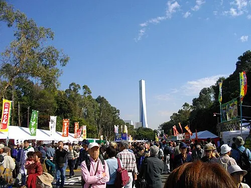 Yumenoshima Park Natural site, Koto-ku14 km N
-
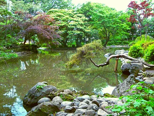 Arisugawa-no-miya Memorial Park Natural site, Minato-ku15 km NW
-
Kanda River River, Tokyo19 km N
-
Arakawa Drainage Canal River, Japan15 km N
-
Meguro River River, Tokyo11 km N
-
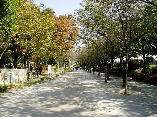 Sumida Kōen Natural site, Sumida21 km N
More lakes, rivers and coasts in Japan
-
Ayase River River, Tokyo22 km N
-
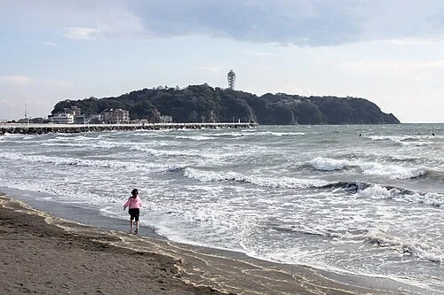 Enoshima Island, Kanagawa38 km SW
-
Naka River River, Japan16 km N
-
Ōoka River River, Kanagawa17 km SW
-
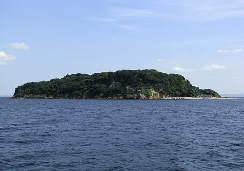 Sarushima Island, Kanagawa28 km S
-
Ebi River River, Chiba26 km NE
Sources & licences
Data last updated: · 2 independent sources