Izu Hantō
Local name: 伊豆半島
Located in Shizuoka, Japan Coordinates: 34°51′51″ N 138°55′30″ E

- Elevation
- 543 m
- above sea level
- Local time
- UTC+09:00
- Asia/Tokyo · UTC+09:00
- Airports
- OIM Oshima Airport41 km
- FSZ Mount Fuji Shizuoka Airport68 km
About Izu Hantō
Izu Hantō is a natural site. Location: Shizuoka, Japan.
The Izu Peninsula (伊豆半島, Izu Hantō; Japanese pronunciation: [i.(d)zɯ, i.(d)zɯ haꜜn.toː]) is a mountainous peninsula with a deeply indented coastline to the west of Tokyo on the Pacific coast of the island of Honshu, Japan, the largest of the four main islands of Japan. Formerly known as Izu Province, Izu Peninsula is now a part of Shizuoka Prefecture. The peninsula has an area of 1,421.24 km2 (548.74 sq mi) and its estimated population in 2005 was 473,942 people.
Source: Wikipedia · CC BY-SA 4.0
Climate of Izu Hantō
Best months for sightseeingBest months for sightseeing: May–July, September–October.
This month · November
A wet month
Day 15° · Night 7° · Rain 114 mm
Better nearby cities in November
- Numazu · 27 km north18°
- Mishima · 28 km north18°
- Fuji · 40 km northwest20°
- Hottest month
- August (day 27°)
- Coldest month
- January (night 0°)
- Wettest month
- June (253 mm)
- Driest month
- December (63 mm)
Bars: average monthly low and high temperature. Below: precipitation. Monthly averages for 1970–2000 at about 18 km resolution, adjusted for elevation. Highlighted months are mild and relatively dry. Source: WorldClim 2.1 (CC BY 4.0).
Show values as a table
| Month | Jan | Feb | Mar | Apr | May | Jun | Jul | Aug | Sep | Oct | Nov | Dec |
|---|---|---|---|---|---|---|---|---|---|---|---|---|
| Average high (°C) | 8° | 9° | 11° | 16° | 20° | 22° | 26° | 27° | 24° | 19° | 15° | 11° |
| Average low (°C) | 0° | 0° | 3° | 8° | 12° | 16° | 19° | 21° | 18° | 12° | 7° | 2° |
| Precipitation (mm) | 67 | 85 | 146 | 170 | 178 | 253 | 202 | 248 | 250 | 187 | 114 | 63 |
Other places to visit in this season: May June July September October
How to get to Izu Hantō
The nearest airport is Oshima Airport (OIM), 41 km to the east as the crow flies. For international flights: Mount Fuji Shizuoka Airport (FSZ) (68 km). The nearest large city is Numazu, 27 km to the north.
Airports
- Oshima Airport (OIM) Izu Oshima 41 kmeast
- Mount Fuji Shizuoka Airport (FSZ) Makinohara / Shimada 68 kmwest
- Miyakejima Airport (MYE) Miyakejima 105 kmsoutheast
Nearby large cities
- Numazu Population: 189.5K 27 kmnorth
- Mishima Population: 107.9K 28 kmnorth
- Fuji Population: 245.4K 40 kmnorthwest
- Fujinomiya Population: 132.5K 48 kmnorthwest
- Odawara Population: 188.9K 48 kmnortheast
Straight-line distances; road distances are longer. Airport data: OurAirports.
Nearest towns and villages
-
Kawazu-cho Municipality, Kamo9 km S
-
Higashiizu Chō Municipality, Kamo10 km SE
-
Nishiizu Chō Municipality, Kamo11 km SW
-
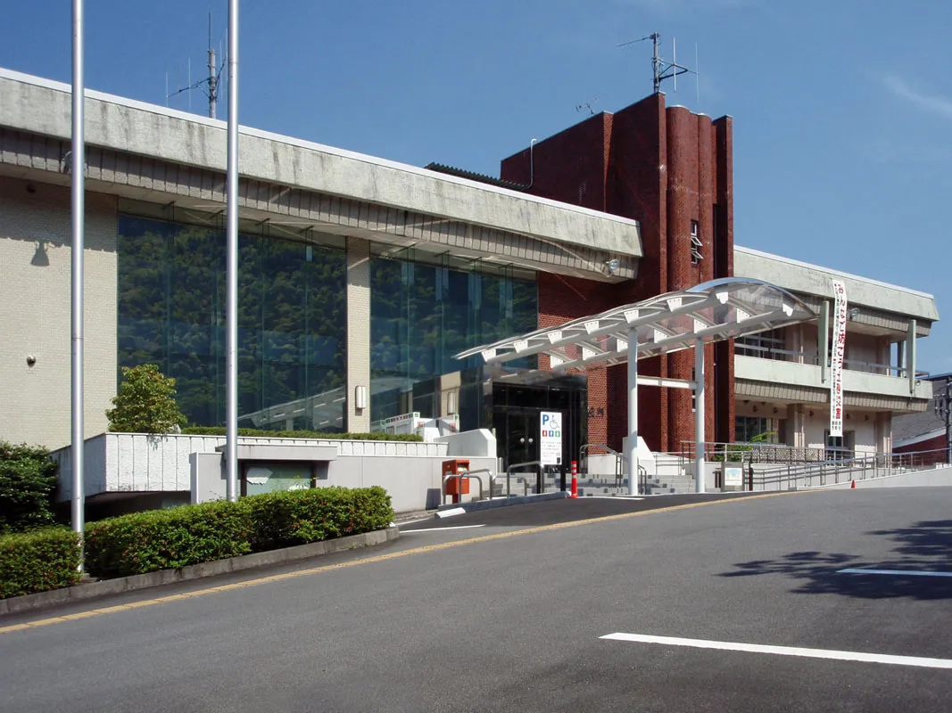 Izu City, Izu-shi12 km N
-
Shuzenji Town, Izu-shi12 km N
-
Toi Town, Izu-shi12 km W
Nearby attractions & nature
Everything nearby-
 Banzaburō Dake Mountain, Izu-shi7 km E
-
Kano River River, Shizuoka25 km N
More nature in Japan
-
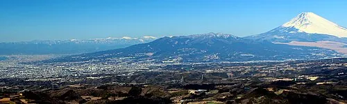 Mount Ashitaka Mountain, Numazu-shi39 km N
-
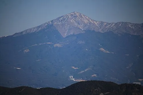 Mount Echizen-dake Mountain, Fuji Shi43 km N
-
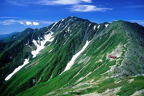 Mount Aino Mountain, Aoi-ku107 km NW
-
 Mount Tekari Mountain, Kawanehon Chō93 km NW
-
Mount Kenashi Mountain, Fujinomiya Shi70 km NW
-
 Mount Akaishi Mountain, Aoi-ku96 km NW
Sources & licences
Data last updated: · 2 independent sources