- Population
- 940,509
- 940.5K
- Elevation
- 48 m
- above sea level
- Local time
- UTC+09:00
- Asia/Tokyo · UTC+09:00
- Places inside
- 5
- listed under Setagaya-ku
- Airports
- HND Tokyo Haneda International Airport16 km
- NRT Narita International Airport68 km
About Setagaya-ku
Setagaya-ku is a district. Location: Tokyo, Japan. Population: 940,509.
Setagaya (世田谷区, Setagaya-ku; Japanese pronunciation: [sè̞.tä́.ɡä́.jä́(.kɯ̈̀), -ŋä́-]; officially called Setagaya City or the City of Setagaya) is a special ward in the Tokyo Metropolis in Japan. It is also the name of a neighborhood and administrative district within the ward. Its official bird is the azure-winged magpie, its flower is the fringed orchid, and its tree is the Zelkova serrata. Setagaya has the largest population and second-largest area (after Ōta) of Tokyo's special wards.
Read more on Wikipedia Text: Wikipedia contributors · CC BY-SA 4.0 · shortened
Places bordering Setagaya-ku
- Suginami-ku
- Shibuya
- Meguro-ku
- Ōta-ku
- Chōfu-shi
- Mitaka-shi
- Komae
Population of Setagaya-ku over time
| 2010 | 877,138 | |
|---|---|---|
| 2015 | 903,346 | |
| 2021 | 940,509 |
Censuses and official estimates; source: Wikidata.
Climate of Setagaya-ku
Best months for sightseeingBest months for sightseeing: May–June, October.
Bars: average monthly low and high temperature. Below: precipitation. Monthly averages for 1970–2000 at about 18 km resolution, adjusted for elevation. Highlighted months are mild and relatively dry. Source: WorldClim 2.1 (CC BY 4.0).
Show values as a table
| Month | Jan | Feb | Mar | Apr | May | Jun | Jul | Aug | Sep | Oct | Nov | Dec |
|---|---|---|---|---|---|---|---|---|---|---|---|---|
| Average high (°C) | 9° | 10° | 13° | 19° | 23° | 25° | 29° | 30° | 27° | 21° | 17° | 12° |
| Average low (°C) | 0° | 1° | 4° | 9° | 14° | 18° | 22° | 23° | 20° | 14° | 8° | 3° |
| Precipitation (mm) | 47 | 61 | 108 | 126 | 145 | 196 | 160 | 175 | 209 | 182 | 91 | 45 |
Airports nearest to Setagaya-ku
- Tokyo Haneda International Airport (HND) Tokyo 16 km
- Narita International Airport (NRT) Narita 68 km
- Ibaraki Airport (IBR) Omitama 91 km
Straight-line distance; airports with scheduled flights only. Source: OurAirports (public domain).
Places in Setagaya-ku
5 placesBar: population relative to the most populous place in this list.
Mountains & nature1
- Kinuta Park · Natural site
Heritage & sights1
- Setagaya Art Museum · Museum
Nearby attractions & nature
Everything nearby-
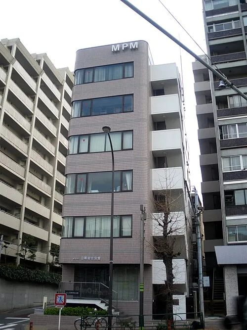 Meguro Parasitological Museum Museum, Meguro-ku5.1 km E
-
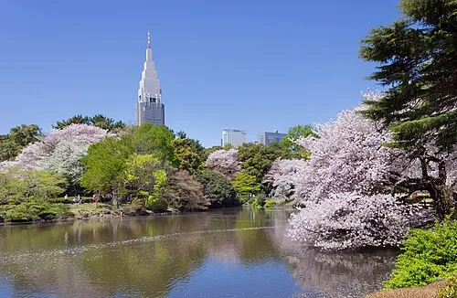 Shinjuku Gyōen Attraction, Shinjuku6.7 km NE
-
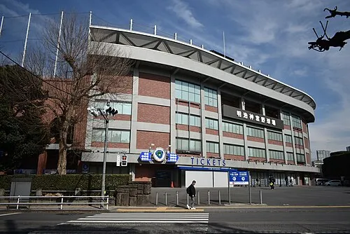 Meiji Jingu Stadium Landmark, Shinjuku6.5 km NE
-
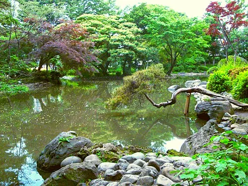 Arisugawa-no-miya Memorial Park Natural site, Minato-ku6.6 km E
-
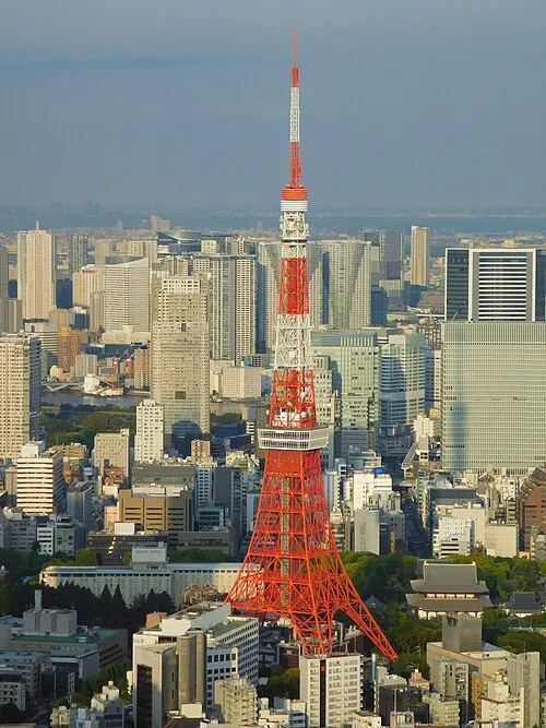 Tokyo Tower Landmark, Minato-ku8.5 km E
-
Sumida River River, Tokyo10 km E
Sources & licences
Data last updated: · 2 independent sources