- Population
- 102,226
- 102.2K
- Elevation
- 13 m
- above sea level
- Local time
- UTC+09:00
- Asia/Tokyo · UTC+09:00
- Places inside
- 1
- listed under Chūō-ku
- Airports
- HND Tokyo Haneda International Airport40 km
- NRT Narita International Airport70 km
About Chūō-ku
Chūō-ku is a municipality. Location: Saitama-shi, Saitama. Population: 102,226. Elevation: 13 m.
Chūō-ku (中央区, lit. "Central ward") is one of ten wards of the city of Saitama, in Saitama Prefecture, Japan, and is located in the northern part of the city. As of 1 March 2021, the ward had an estimated population of 102,364 and a population density of 12,000 persons per km2. Its total area is 8.39 square kilometres (3.24 sq mi). Despite its name, it is not the administrative or the commercial centre of the city, roles which are designated to Urawa-ku and Ōmiya-ku respectively.
Source: Wikipedia · CC BY-SA 4.0
Population of Chūō-ku over time
| 2010 | 96,055 | |
|---|---|---|
| 2015 | 98,762 | |
| 2021 | 102,226 |
Censuses and official estimates; source: Wikidata.
Climate of Chūō-ku
Best months for sightseeingBest months for sightseeing: May–June, October.
This month · November
Outside the best season
Day 16° · Night 7° · Rain 73 mm
Better nearby cities in November
- Isehara · 61 km southwest18°
- Odawara · 81 km southwest19°
- Kofu · 98 km west17°
- Hottest month
- August (day 30°)
- Coldest month
- January (night -1°)
- Wettest month
- September (199 mm)
- Driest month
- January (36 mm)
Bars: average monthly low and high temperature. Below: precipitation. Monthly averages for 1970–2000 at about 18 km resolution, adjusted for elevation. Highlighted months are mild and relatively dry. Source: WorldClim 2.1 (CC BY 4.0).
Show values as a table
| Month | Jan | Feb | Mar | Apr | May | Jun | Jul | Aug | Sep | Oct | Nov | Dec |
|---|---|---|---|---|---|---|---|---|---|---|---|---|
| Average high (°C) | 9° | 10° | 13° | 19° | 23° | 25° | 29° | 30° | 26° | 21° | 16° | 12° |
| Average low (°C) | -1° | 0° | 3° | 9° | 13° | 18° | 21° | 23° | 19° | 13° | 7° | 1° |
| Precipitation (mm) | 36 | 52 | 84 | 105 | 126 | 175 | 159 | 169 | 199 | 160 | 73 | 38 |
How to get to Chūō-ku
The nearest airport is Tokyo Haneda International Airport (HND), 40 km to the south as the crow flies. The nearest large city is Asaka, 9 km to the south.
Airports
- Tokyo Haneda International Airport (HND) Tokyo 40 kmsouth
- Narita International Airport (NRT) Narita 70 kmeast
- Ibaraki Airport (IBR) Omitama 79 kmnortheast
Nearby large cities
- Asaka Population: 141.1K 9 kmsouth
- Niiza Population: 166K 9 kmsouthwest
- Shimotoda Population: 140.9K 9 kmsoutheast
- Fujimino Population: 113.6K 9 kmwest
- Ageo Population: 226.9K 10 kmnorth
Straight-line distances; road distances are longer. Airport data: OurAirports.
Places in Chūō-ku
1 placeHeritage & sights1
- Saitama Super Arena · Landmark
Nearby attractions & nature
Everything nearby-
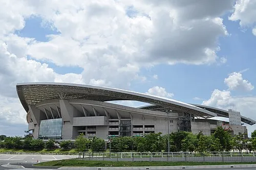 Saitama Stadium 2002 Landmark, Midori-ku8.7 km E
-
Iruma River River, Saitama7.9 km NW
-
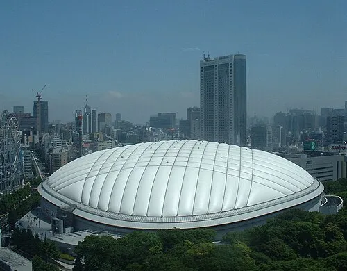 Tokyo Dome Landmark, Bunkyō-ku23 km SE
-
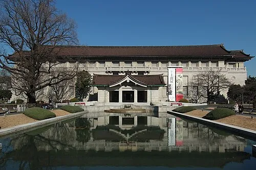 Tokyo National Museum Museum, Taito23 km SE
-
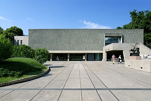 National Museum of Western Art Museum, Taito23 km SE
-
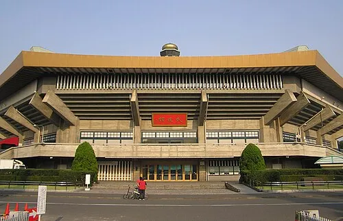 Nippon Budōkan Landmark, Chiyoda-ku24 km SE
-
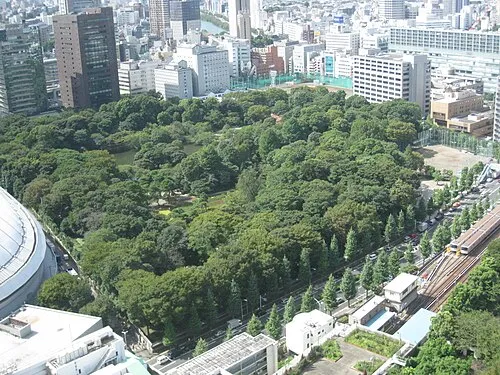 Koishikawa Kōraku En Attraction, Bunkyō-ku23 km SE
-
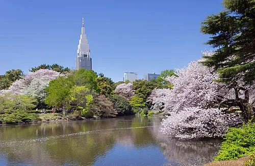 Shinjuku Gyōen Attraction, Shinjuku23 km S
Sources & licences
Data last updated: · 2 independent sources