- Elevation
- 8 m
- above sea level
- Local time
- UTC+09:00
- Asia/Tokyo · UTC+09:00
- Airports
- HND Tokyo Haneda International Airport46 km
- NRT Narita International Airport78 km
About Iruma River
Iruma River is a river. Location: Saitama, Japan.
The Iruma River (入間川, Iruma-gawa), is a river in Saitama Prefecture, Japan. It is 63 kilometres (39 mi) long and has a watershed of 721 square kilometres (278 sq mi). The river rises from Mount Ōmochi in Hannō, Saitama and flows to the Arakawa River at Kawagoe, Saitama. Before the flood control projects in the Edo Period, when the Ara River was diverted into its course, the Iruma River flowed on its own into Edo Bay.
Read more on Wikipedia Text: Wikipedia contributors · CC BY-SA 4.0 · shortened
At a glance
- Length
- 63 km
Source: Wikidata
Climate of Iruma River
Best months for sightseeingBest months for sightseeing: May–June, October.
Bars: average monthly low and high temperature. Below: precipitation. Monthly averages for 1970–2000 at about 18 km resolution, adjusted for elevation. Highlighted months are mild and relatively dry. Source: WorldClim 2.1 (CC BY 4.0).
Show values as a table
| Month | Jan | Feb | Mar | Apr | May | Jun | Jul | Aug | Sep | Oct | Nov | Dec |
|---|---|---|---|---|---|---|---|---|---|---|---|---|
| Average high (°C) | 9° | 10° | 13° | 19° | 23° | 25° | 29° | 30° | 26° | 21° | 16° | 12° |
| Average low (°C) | -1° | 0° | 3° | 9° | 13° | 18° | 21° | 23° | 19° | 13° | 7° | 1° |
| Precipitation (mm) | 36 | 52 | 84 | 105 | 126 | 175 | 159 | 169 | 199 | 160 | 73 | 38 |
Airports nearest to Iruma River
- Tokyo Haneda International Airport (HND) Tokyo 46 km
- Narita International Airport (NRT) Narita 78 km
- Ibaraki Airport (IBR) Omitama 84 km
Straight-line distance; airports with scheduled flights only. Source: OurAirports (public domain).
Nearest towns and villages
Nearby attractions & nature
Everything nearby-
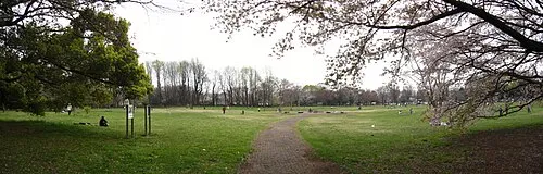 Koganei park Natural site, Koganei22 km S
-
Shingashi River River, Saitama13 km SE
-
Saitama Super Arena Landmark, Chūō-ku7.9 km E
-
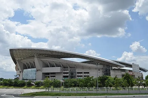 Saitama Stadium 2002 Landmark, Midori-ku16 km E
-
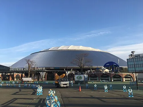 Seibu-Dome Landmark, Tokorozawa-shi19 km SW
Sources & licences
Data last updated: · 2 independent sources