- Population
- 354,571
- 354.6K
- Elevation
- 26 m
- above sea level
- Local time
- UTC+09:00
- Asia/Tokyo · UTC+09:00
- Airports
- HND Tokyo Haneda International Airport48 km
- NRT Narita International Airport83 km
About Kawagoe
Kawagoe is a city. Location: Kawagoe Shi, Saitama. Population: 354,571. Elevation: 26 m.
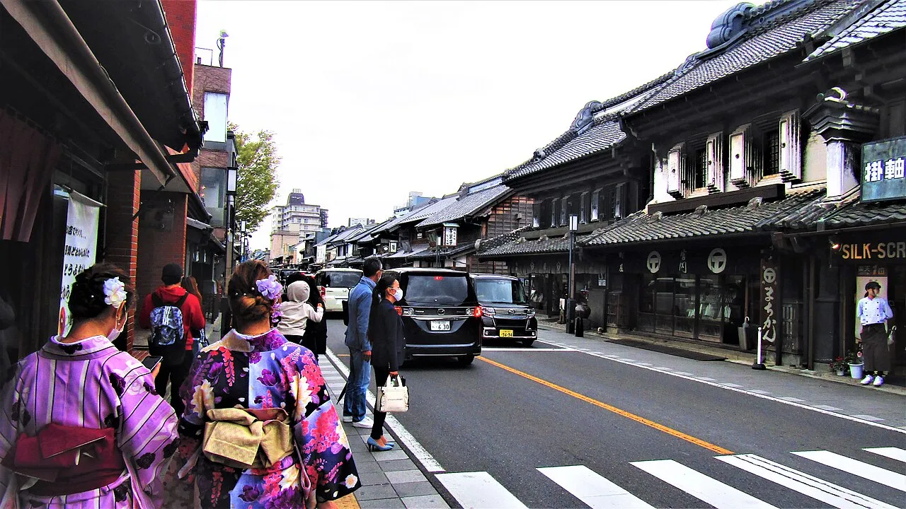
Kawagoe (川越市, Kawagoe-shi) is a city in Saitama Prefecture, Japan. As of 1 February 2021, the city had an estimated population of 353,214 in 162,210 households and a population density of 3200 persons per km2. The total area of the city is 109.13 square kilometres (42.14 sq mi). The city is known locally as "Little Edo" (小江戸, Koedo) after the old name for Tokyo, due to its many historic buildings.
Source: Wikipedia · CC BY-SA 4.0
Photos of Kawagoe
-

Cheng-en Cheng · CC BY-SA 2.0 -

Twilight2640 · CC BY-SA 3.0 -

Sakura Mutsuki · CC BY 2.0 -

puffyjet · CC BY 2.0 -

Takuya Matsuyama · CC BY 3.0


Travel notes for Kawagoe
From Wikivoyage
Kawagoe (川越) is an old trading outpost of the ancient capital Edo. Located in Saitama prefecture, the city is now a small suburban city of around 33,000 people, but the preserved warehouse district draws around 4 million visitors to the city each year, and has earned the city the nickname of "Little Edo" (Koedo).
Understand+
Tourist Information:
1 Kawagoe Tourist Information Office (川越市観光案内所), 24-9 Wakitamachi (At Kawagoe Station), ☏ +81 49 222 5556. 09:00-16:30.
2 Nakacho Branch (仲町観光案内所), 2-3 Nakacho. 09:30-17:00.
The local tourist association has a multilingual tourist guide site, Koedo Kawagoe Web (小江戸川越ウェブ).
Get in+
By train:
Kawagoe Station (川越駅) is a stop on the JR Saikyo Line and the private Tobu Tojo line. From Tokyo the fastest route is the Tobu Tojo line from Ikebukuro, which takes 30 min on the express and costs ¥450. From Omiya the Saikyo line takes 17 min and costs ¥320.
Hon-Kawagoe Station (本川越駅) is closer to the temple district and is part of the private Seibu-Shinjuku line. Express trains from Shinjuku take 47 min and cost ¥480.
By bus:
Long-distance buses from Osaka, Nagoya, Kanazawa and Toyama, Limousine Bus Route from Haneda Airport and Narita Airport, Daytime bus service from the Fujisawa and Tokyo Disney Resort.
Source: Wikivoyage · CC BY-SA 4.0 · abridged
Places bordering Kawagoe
- Tokorozawa
- Sayama
- Hidaka
- Tsurugashima
- Fujimino
- Ageo-shi
- Saitama-shi
- Sakado Shi
- Fujimi-shi
- Miyoshi Machi
- Kawajima Machi
Twin towns and sister cities of Kawagoe
- Salem· United States
Source: Wikidata. Only places with a page on this site are shown.
Population of Kawagoe over time
| 2010 | 342,670 | |
|---|---|---|
| 2015 | 350,745 | |
| 2021 | 354,598 |
Censuses and official estimates; source: Wikidata.
Climate of Kawagoe
Best months for sightseeingBest months for sightseeing: April–June, October.
This month · November
Outside the best season
Day 16° · Night 6° · Rain 69 mm
Better nearby cities in November
- Isehara · 59 km south18°
- Odawara · 78 km south19°
- Kofu · 87 km west17°
- Hottest month
- August (day 30°)
- Coldest month
- January (night -2°)
- Wettest month
- September (201 mm)
- Driest month
- January (38 mm)
Bars: average monthly low and high temperature. Below: precipitation. Monthly averages for 1970–2000 at about 18 km resolution, adjusted for elevation. Highlighted months are mild and relatively dry. Source: WorldClim 2.1 (CC BY 4.0).
Show values as a table
| Month | Jan | Feb | Mar | Apr | May | Jun | Jul | Aug | Sep | Oct | Nov | Dec |
|---|---|---|---|---|---|---|---|---|---|---|---|---|
| Average high (°C) | 9° | 10° | 13° | 19° | 23° | 25° | 29° | 30° | 26° | 21° | 16° | 12° |
| Average low (°C) | -2° | -1° | 3° | 8° | 13° | 17° | 21° | 22° | 19° | 12° | 6° | 0° |
| Precipitation (mm) | 38 | 53 | 79 | 99 | 127 | 180 | 162 | 181 | 201 | 158 | 69 | 41 |
Other places to visit in this season: April May June October
How to get to Kawagoe
The nearest airport is Tokyo Haneda International Airport (HND), 48 km to the southeast as the crow flies. The nearest large city is Fujimino, 4 km to the east.
Airports
- Tokyo Haneda International Airport (HND) Tokyo 48 kmsoutheast
- Narita International Airport (NRT) Narita 83 kmeast
- Ibaraki Airport (IBR) Omitama 89 kmeast
Nearby large cities
- Fujimino Population: 113.6K 4 kmeast
- Sayama Population: 160.8K 9 kmsouthwest
- Sakado Population: 100.3K 10 kmnorthwest
- Niiza Population: 166K 12 kmsoutheast
- Tokorozawa Population: 344.2K 12 kmsouth
Straight-line distances; road distances are longer. Airport data: OurAirports.
Day trips from Kawagoe
Within 100 km: 50 historic and cultural sites, 48 natural sites, 44 lakes, rivers and coasts.
0–25 km6 places
- Saitama Super Arena Landmark 13 kmE
- Iruma River River 5 kmE
- Shingashi River River 16 kmSE
- Koganei park Natural site 22 kmS
25–60 km71 places
- Mount Bukō Mountain 35 kmW
- Rokugi En Attraction 31 kmSE
- Shinjuku Gyōen Attraction 32 kmSE
- Gokoku Ji Attraction 30 kmSE
60–100 km65 places
- Jōga Shima Island 87 kmS
- Enoshima Island 68 kmS
- Umeda Ko Lake 64 kmN
- Lake Shoji Lake 92 kmSW
Straight-line distances.
Kawagoe and similar cities
Side by side with cities of similar size in the same country: population, elevation and climate.
| Measure | Kawagoe | Takatsuki | Wakayama | Iwaki |
|---|---|---|---|---|
| Population | 354.6K | 354.5K | 356.7K | 357.3K |
| Elevation | 26 m | 14 m | 8 m | 9 m |
| Summer day (hottest month) | 30° | 32° | 31° | 27° |
| Winter night (coldest month) | -2° | 1° | 2° | -1° |
| Annual rainfall | 1,388 mm | 1,519 mm | 1,445 mm | 1,303 mm |
| Best months | Apr–Jun, Oct | May, Oct | May–Jun, Oct | May–Oct |
| Distance | — | 371 km | 435 km | 178 km |
Climate values are 1970–2000 monthly averages; straight-line distance.
Nearby attractions & nature
Everything nearby-
Iruma River River, Saitama5.4 km E
-
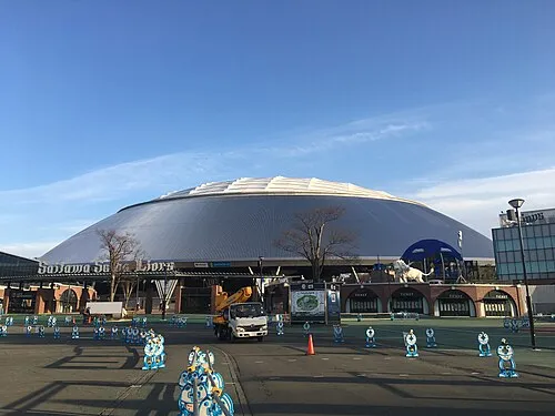 Seibu-Dome Landmark, Tokorozawa-shi17 km S
-
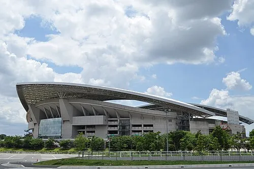 Saitama Stadium 2002 Landmark, Midori-ku21 km E
-
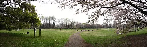 Koganei park Natural site, Koganei22 km S
-
Saitama Super Arena Landmark, Chūō-ku13 km E
-
Shingashi River River, Saitama16 km SE
Sources & licences
Data last updated: · 2 independent sources