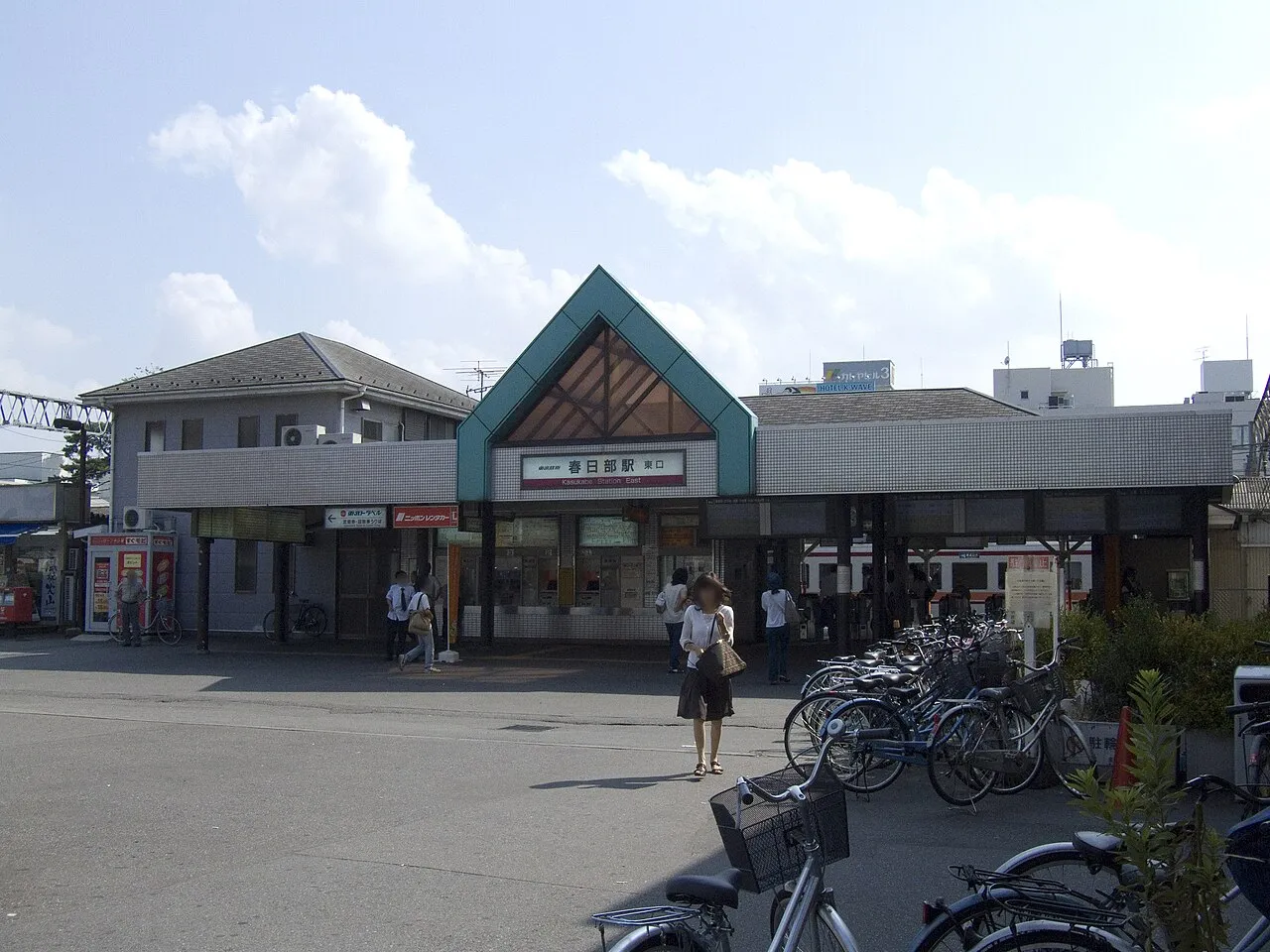
Kasukabe
Local name: 春日部市
Located in Kasukabe Shi, Saitama Coordinates: 35°58′59″ N 139°44′59″ E
- Population
- 229,792
- 229.8K
- Elevation
- 8 m
- above sea level
- Local time
- UTC+09:00
- Asia/Tokyo · UTC+09:00
- Airports
- HND Tokyo Haneda International Airport48 km
- NRT Narita International Airport62 km
About Kasukabe
Kasukabe is a city. Location: Kasukabe Shi, Saitama. Population: 229,792. Elevation: 8 m.
Kasukabe (春日部市, Kasukabe-shi) is a city located in Saitama Prefecture, Japan. It was one of the special cities of Japan until their abolition in 2015. As of 1 February 2021, the city had an estimated population of 233,278 in 108,328 households and a population density of 3,500 inhabitants per square kilometre (9,100/sq mi). The total area of the city is 66.00 square kilometres (25.48 sq mi). Kasukabe is famous for the production of kiri-tansu (桐箪笥), traditional tansu dressers made from paulownia wood.
Source: Wikipedia · CC BY-SA 4.0
Places bordering Kasukabe
- Saitama-shi
- Koshigaya
- Shiraoka-shi
- Sugito
- Matsubushi Machi
- Miyashiro Machi
- Noda
Twin towns and sister cities of Kasukabe
- Tsushima-shi· Japan
- Kōnan· Japan
Source: Wikidata. Only places with a page on this site are shown.
Population of Kasukabe over time
| 2010 | 237,171 | |
|---|---|---|
| 2015 | 232,709 | |
| 2021 | 228,975 |
Censuses and official estimates; source: Wikidata.
Climate of Kasukabe
Best months for sightseeingBest months for sightseeing: May–June, October.
This month · November
Outside the best season
Day 16° · Night 7° · Rain 75 mm
Better nearby cities in November
- Isehara · 76 km southwest18°
- Odawara · 97 km southwest19°
- Kofu · 112 km west17°
- Hottest month
- August (day 30°)
- Coldest month
- January (night -1°)
- Wettest month
- September (196 mm)
- Driest month
- January (35 mm)
Bars: average monthly low and high temperature. Below: precipitation. Monthly averages for 1970–2000 at about 18 km resolution, adjusted for elevation. Highlighted months are mild and relatively dry. Source: WorldClim 2.1 (CC BY 4.0).
Show values as a table
| Month | Jan | Feb | Mar | Apr | May | Jun | Jul | Aug | Sep | Oct | Nov | Dec |
|---|---|---|---|---|---|---|---|---|---|---|---|---|
| Average high (°C) | 9° | 10° | 13° | 19° | 23° | 25° | 29° | 30° | 26° | 21° | 16° | 12° |
| Average low (°C) | -1° | 0° | 3° | 9° | 14° | 18° | 21° | 23° | 19° | 13° | 7° | 1° |
| Precipitation (mm) | 35 | 52 | 87 | 110 | 123 | 166 | 153 | 155 | 196 | 160 | 75 | 36 |
How to get to Kasukabe
The nearest airport is Tokyo Haneda International Airport (HND), 48 km to the south as the crow flies. The nearest large city is Koshigaya, 11 km to the south.
Airports
- Tokyo Haneda International Airport (HND) Tokyo 48 kmsouth
- Narita International Airport (NRT) Narita 62 kmeast
- Ibaraki Airport (IBR) Omitama 64 kmeast
Nearby large cities
- Koshigaya Population: 345.4K 11 kmsouth
- Noda Population: 154.1K 11 kmeast
- Kukichūō Population: 150.6K 12 kmnorthwest
- Ageo Population: 226.9K 12 kmwest
- Sōka Population: 249.6K 17 kmsouth
Straight-line distances; road distances are longer. Airport data: OurAirports.
Nearby attractions & nature
Everything nearby-
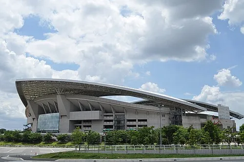 Saitama Stadium 2002 Landmark, Midori-ku9.3 km S
-
Saitama Super Arena Landmark, Chūō-ku15 km SW
-
Kinu Gawa River, Japan19 km E
-
Watarase River River, Ibaraki19 km N
-
Iruma River River, Saitama20 km SW
-
Shingashi River River, Saitama22 km SW
Sources & licences
Data last updated: · 2 independent sources