- Elevation
- 10 m
- above sea level
- Local time
- UTC+09:00
- Asia/Tokyo · UTC+09:00
- Airports
- IBR Ibaraki Airport65 km
- HND Tokyo Haneda International Airport67 km
About Watarase River
Watarase River is a river. Location: Ibaraki, Japan.
The Watarase River (渡良瀬川, Watarase-gawa) is a major river in the northern Kantō region of Japan. A tributary of the Tone River, it is 106.7 kilometres (66.3 mi) in length and drains an area of 2,621 square kilometres (1,012 sq mi). Its source is at Mount Sukai on the boundary of the city of Nikkō in Tochigi Prefecture and it empties into the Tone River at the boundary of the city of Koga in Ibaraki Prefecture and the city of Kazo in Saitama Prefecture.
Read more on Wikipedia Text: Wikipedia contributors · CC BY-SA 4.0 · shortened
At a glance
- Length
- 107 km
Source: Wikidata
Climate of Watarase River
Best months for sightseeingBest months for sightseeing: May–June, September–October.
Bars: average monthly low and high temperature. Below: precipitation. Monthly averages for 1970–2000 at about 18 km resolution, adjusted for elevation. Highlighted months are mild and relatively dry. Source: WorldClim 2.1 (CC BY 4.0).
Show values as a table
| Month | Jan | Feb | Mar | Apr | May | Jun | Jul | Aug | Sep | Oct | Nov | Dec |
|---|---|---|---|---|---|---|---|---|---|---|---|---|
| Average high (°C) | 9° | 10° | 13° | 18° | 22° | 25° | 28° | 30° | 26° | 21° | 16° | 11° |
| Average low (°C) | -2° | -1° | 2° | 8° | 13° | 17° | 21° | 22° | 19° | 12° | 6° | 1° |
| Precipitation (mm) | 33 | 50 | 80 | 105 | 119 | 162 | 149 | 152 | 191 | 155 | 71 | 36 |
Other places to visit in this season: May June September October
Airports nearest to Watarase River
- Ibaraki Airport (IBR) Omitama 65 km
- Tokyo Haneda International Airport (HND) Tokyo 67 km
- Narita International Airport (NRT) Narita 76 km
Straight-line distance; airports with scheduled flights only. Source: OurAirports (public domain).
Nearest towns and villages
-
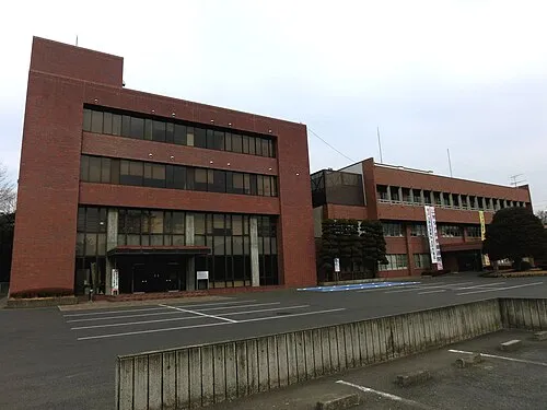 Koga City, Koga Shi3.7 km NE
-
Kurihashi Town, Kuki-shi2.2 km S
-
Goka Machi Municipality, Sashima-gun6.8 km SE
-
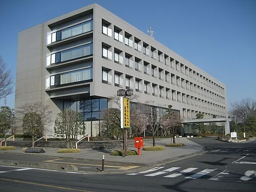 Kazo City, Kazo-shi9.7 km SW
-
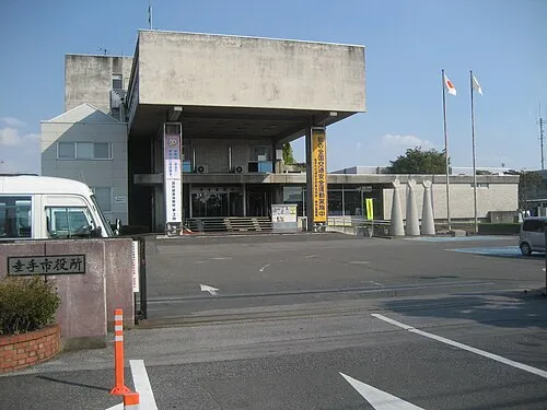 Satte City, Satte-shi9.3 km S
-
Washinomiya Town, Kuki-shi6.9 km SW
More lakes, rivers and coasts in Japan
-
 Lake Kasumigaura Lake, Ibaraki64 km E
-
Naka-gawa River, Ibaraki83 km E
-
Kuji-gawa River, Ibaraki90 km NE
Sources & licences
Data last updated: · 2 independent sources