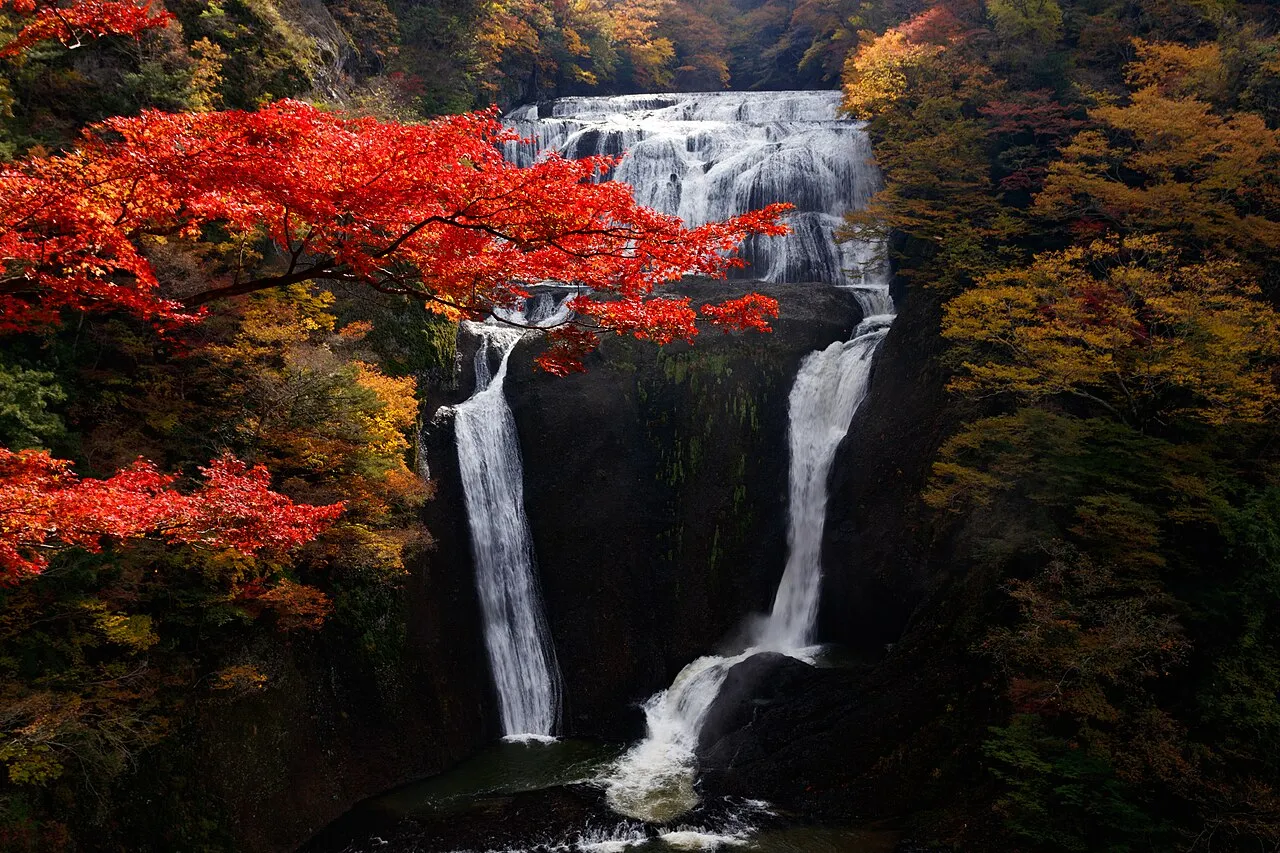
- Population
- 2,852,515
- 2.9M
- Elevation
- 15 m
- above sea level
- Local time
- UTC+09:00
- Asia/Tokyo · UTC+09:00
- Places inside
- 44
- listed under Ibaraki
- Airports
- IBR Ibaraki Airport16 km
- NRT Narita International Airport59 km
About Ibaraki
Ibaraki is a region. Location: Japan. Population: 2,852,515.
Ibaraki Prefecture (茨城県, Ibaraki-ken, -gi-; Japanese pronunciation: [ì.bä́.ɾä̀.k̟ʲì, -ɡ̟ʲì, -ŋ̟ʲì, -ɾä́.k̟ʲi̥.kè̞ɴ̀, -ɡ̟ʲí-, -ŋ̟ʲí-]) is a prefecture of Japan located in the Kantō region of Honshu. Ibaraki Prefecture has a population of 2,828,086 (1 July 2023) and has a geographic area of 6,097.19 square kilometres (2,354.14 square miles).
Read more on Wikipedia Text: Wikipedia contributors · CC BY-SA 4.0 · shortened
Places bordering Ibaraki
Twin towns and sister cities of Ibaraki
Source: Wikidata. Only places with a page on this site are shown.
Population of Ibaraki over time
| 2005 | 2,975,167 | |
|---|---|---|
| 2010 | 2,969,770 | |
| 2015 | 2,917,857 | |
| 2021 | 2,862,372 |
Censuses and official estimates; source: Wikidata.
Climate of Ibaraki
Best months for sightseeingBest months for sightseeing: May–June, September–October.
Bars: average monthly low and high temperature. Below: precipitation. Monthly averages for 1970–2000 at about 18 km resolution, adjusted for elevation. Highlighted months are mild and relatively dry. Source: WorldClim 2.1 (CC BY 4.0).
Show values as a table
| Month | Jan | Feb | Mar | Apr | May | Jun | Jul | Aug | Sep | Oct | Nov | Dec |
|---|---|---|---|---|---|---|---|---|---|---|---|---|
| Average high (°C) | 8° | 9° | 11° | 17° | 21° | 23° | 27° | 29° | 25° | 20° | 15° | 11° |
| Average low (°C) | -3° | -2° | 1° | 7° | 12° | 16° | 20° | 21° | 18° | 12° | 5° | 0° |
| Precipitation (mm) | 36 | 58 | 90 | 116 | 128 | 166 | 146 | 139 | 184 | 174 | 81 | 45 |
Other places to visit in this season: May June September October
Airports nearest to Ibaraki
- Ibaraki Airport (IBR) Omitama 16 km
- Narita International Airport (NRT) Narita 59 km
- Tokyo Haneda International Airport (HND) Tokyo 96 km
Straight-line distance; airports with scheduled flights only. Source: OurAirports (public domain).
Places in Ibaraki
44 places- 1 Mito Shi 273.1K
- 2 Tsukuba Shi 218.9K
- 3 Hitachi Shi 191.3K
- 4 Hitachinaka Shi 159.4K
- 5 Koga Shi 145.8K
- 6 Tsuchiura-shi 144.4K
- 7 Toride Shi 109.6K
- 8 Chikusei Shi 109.6K
- 9 Kamisu-shi 94.5K
- 10 Ushiku Shi 84K
- 11 Ryūgasaki Shi 79.5K
- 12 Kasama Shi 78.9K
- 13 Ishioka Shi 78.9K
- 14 Kashima-shi 68.1K
- 15 Jōsō Shi 65.8K
- 16 Moriya-shi 64.3K
- 17 Bandō Shi 56.9K
- 18 Hitachi-ōta Shi 56.3K
- 19 Naka-shi 55.9K
- 20 Omitama Shi 53.4K
- 21 Yūki Shi 53K
- 22 Hokota Shi 51.4K
- 23 Tsukuba-mirai Shi 47.9K
- 24 Kitaibaraki Shi 46.5K
- 25 Sakuragawa Shi 45.7K
- 26 Shimotsuma Shi 45.4K
- 27 Hitachi-ōmiya Shi 45.2K
- 28 Inashiki Shi 44.9K
- 29 Kasumigaura Shi 43.9K
- 30 Namegata Shi 37.7K
- 31 Naka-gun 35.5K
- 32 Takahagi Shi 30.8K
- 33 Itako Shi 29.8K
Bar: population relative to the most populous place in this list.
-
Higashiibaraki-gun District
-
Inashiki-gun District
-
Kitasoma-gun District
-
Kuji-gawa River
-
Kuji-gun District
-
Lake Kasumigaura Lake
-
Mount Yamizo Mountain
-
Naka-gawa River
-
Sashima-gun District
-
Watarase River River
-
Yūki-gun District
Largest cities and towns
-
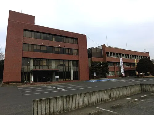 Koga City, Koga Shi139.3K
-
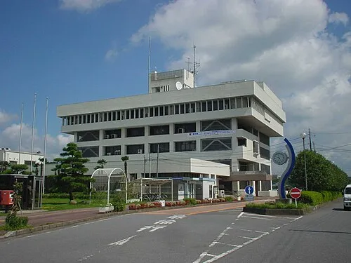 Ryūgasaki City, Ryūgasaki Shi85.8K
-
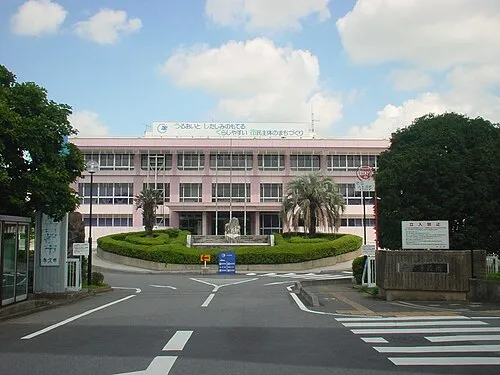 Ushiku City, Ushiku Shi84.7K
-
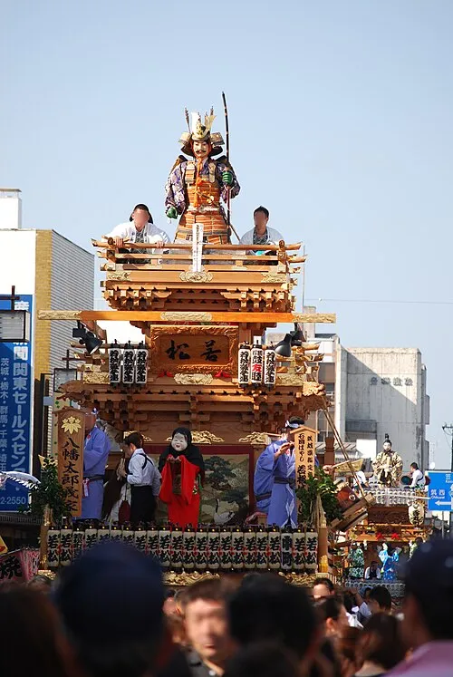 Ishioka City, Ishioka Shi73.1K
-
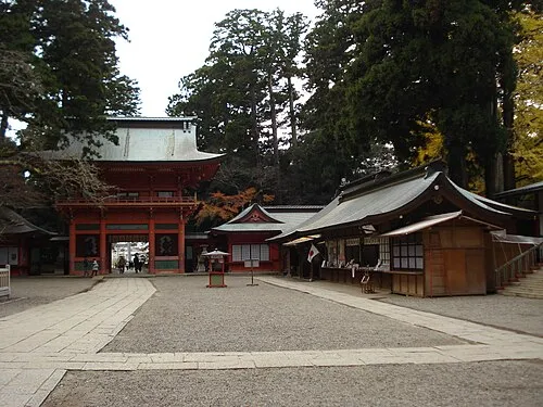 Kashima-shi City, Kashima-shi67K
-
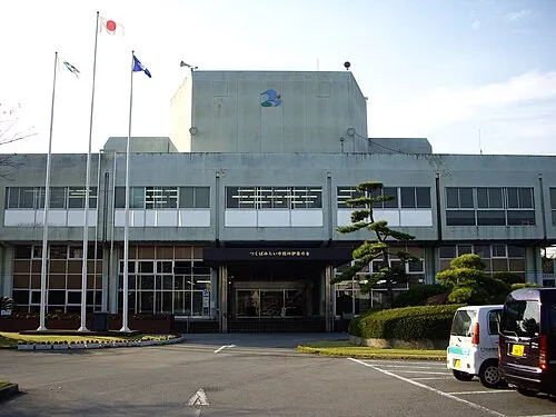 Tsukubamirai City, Tsukuba-mirai Shi49.9K
-
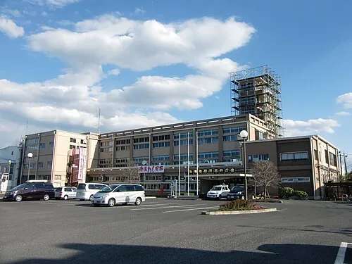 Bandō City, Bandō Shi57.1K
-
Tōkai Mura Municipality, Naka-gun38.5K
Nature and heritage in Ibaraki
Sources & licences
Data last updated: · 2 independent sources