- Elevation
- 0 m
- above sea level
- Local time
- UTC+09:00
- Asia/Tokyo · UTC+09:00
- Airports
- IBR Ibaraki Airport24 km
- NRT Narita International Airport66 km
About Naka-gawa
Naka-gawa is a river. Location: Ibaraki, Japan.
The Naka River (那珂川, Naka-gawa) is a river in eastern Honshu, Japan. It flows through the prefectures of Tochigi and Ibaraki and empties to the Pacific Ocean. More than 50 species of fish live in the river, including dace, chum salmon, ayu, and herring. The Japanese government categorizes it as a Class 1 river. The river has a length of 150 kilometres (93 mi), and drains an area of 3,270 square kilometres (1,260 mi2), including parts of neighboring Fukushima Prefecture.
Source: Wikipedia · CC BY-SA 4.0
At a glance
- Length
- 150 km
Source: Wikidata
Climate of Naka-gawa
Best months for sightseeingBest months for sightseeing: May–June, September–October.
This month · November
Outside the best season
Day 16° · Night 6° · Rain 83 mm
Better nearby cities in November
- Isehara · 156 km southwest18°
- Odawara · 177 km southwest19°
- Kofu · 197 km west17°
- Hottest month
- August (day 29°)
- Coldest month
- January (night -2°)
- Wettest month
- September (182 mm)
- Driest month
- January (38 mm)
Bars: average monthly low and high temperature. Below: precipitation. Monthly averages for 1970–2000 at about 18 km resolution, adjusted for elevation. Highlighted months are mild and relatively dry. Source: WorldClim 2.1 (CC BY 4.0).
Show values as a table
| Month | Jan | Feb | Mar | Apr | May | Jun | Jul | Aug | Sep | Oct | Nov | Dec |
|---|---|---|---|---|---|---|---|---|---|---|---|---|
| Average high (°C) | 9° | 9° | 12° | 17° | 21° | 23° | 27° | 29° | 25° | 21° | 16° | 11° |
| Average low (°C) | -2° | -2° | 2° | 7° | 12° | 16° | 20° | 21° | 18° | 12° | 6° | 0° |
| Precipitation (mm) | 38 | 62 | 98 | 122 | 140 | 175 | 158 | 134 | 182 | 180 | 83 | 52 |
Other places to visit in this season: May June September October
How to get to Naka-gawa
The nearest airport is Ibaraki Airport (IBR), 24 km to the southwest as the crow flies. The nearest large city is Katsuta, 8 km to the northwest.
Airports
- Ibaraki Airport (IBR) Omitama 24 kmsouthwest
- Narita International Airport (NRT) Narita 66 kmsouth
- Fukushima Airport (FKS) Sukagawa 100 kmnorth
Nearby large cities
- Katsuta Population: 156K 8 kmnorthwest
- Hitachi-Naka Population: 156.6K 9 kmnorthwest
- Mito Population: 270.7K 13 kmwest
- Hitachi Population: 174.5K 30 kmnorth
- Tsuchiura Population: 144.4K 44 kmsouthwest
Straight-line distances; road distances are longer. Airport data: OurAirports.
Nearest towns and villages
-
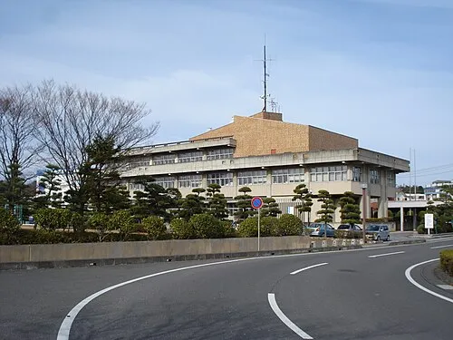 Ōarai Town, Oarai Town2.6 km S
-
Oarai Town Municipality, Higashiibaraki-gun5.6 km SW
-
Katsuta City, Hitachinaka Shi7.6 km NW
-
Hitachi-Naka City, Hitachinaka Shi8.6 km NW
-
Tōkai Mura Municipality, Naka-gun14 km N
-
Mito City, Mito Shi13 km W
More lakes, rivers and coasts in Japan
-
Kuji-gawa River, Ibaraki16 km N
-
 Lake Kasumigaura Lake, Ibaraki38 km SW
-
Watarase River River, Ibaraki83 km W
Sources & licences
Data last updated: · 2 independent sources